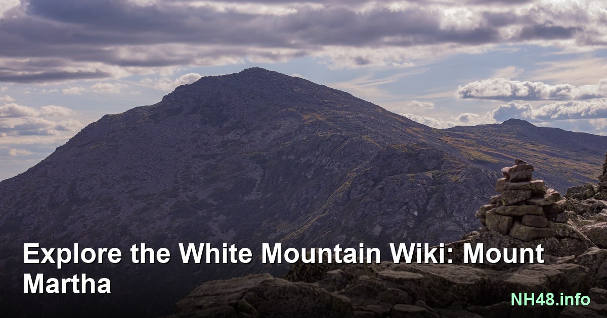
Mount Martha

Presidential Range - NH52 With a View peak guide

Get directions

Mount Martha

Area Map

OpenStreetMap area view with summit marker and nearby trail context.

Peak area map

Static map preview

Mount Martha: summit area with linked trail context.

Trails: Cherry Mountain Rd > Cherry Mountain Trail to Owlshead and Martha

Current Summit Weather

NOAA / NWS point forecast for this summit location.

Astronomy

Sun and moon timing for this peak.

USNO Snapshot unavailable

Astronomy timing is temporarily unavailable.

Trails

Wilderness Safety

Data TBD for this route.

Trail & Terrain

Conditions & Access