

NOAA / NWS
Updated Sat, Aug 1, 6:16 AM EDT
59°F
Mostly Sunny
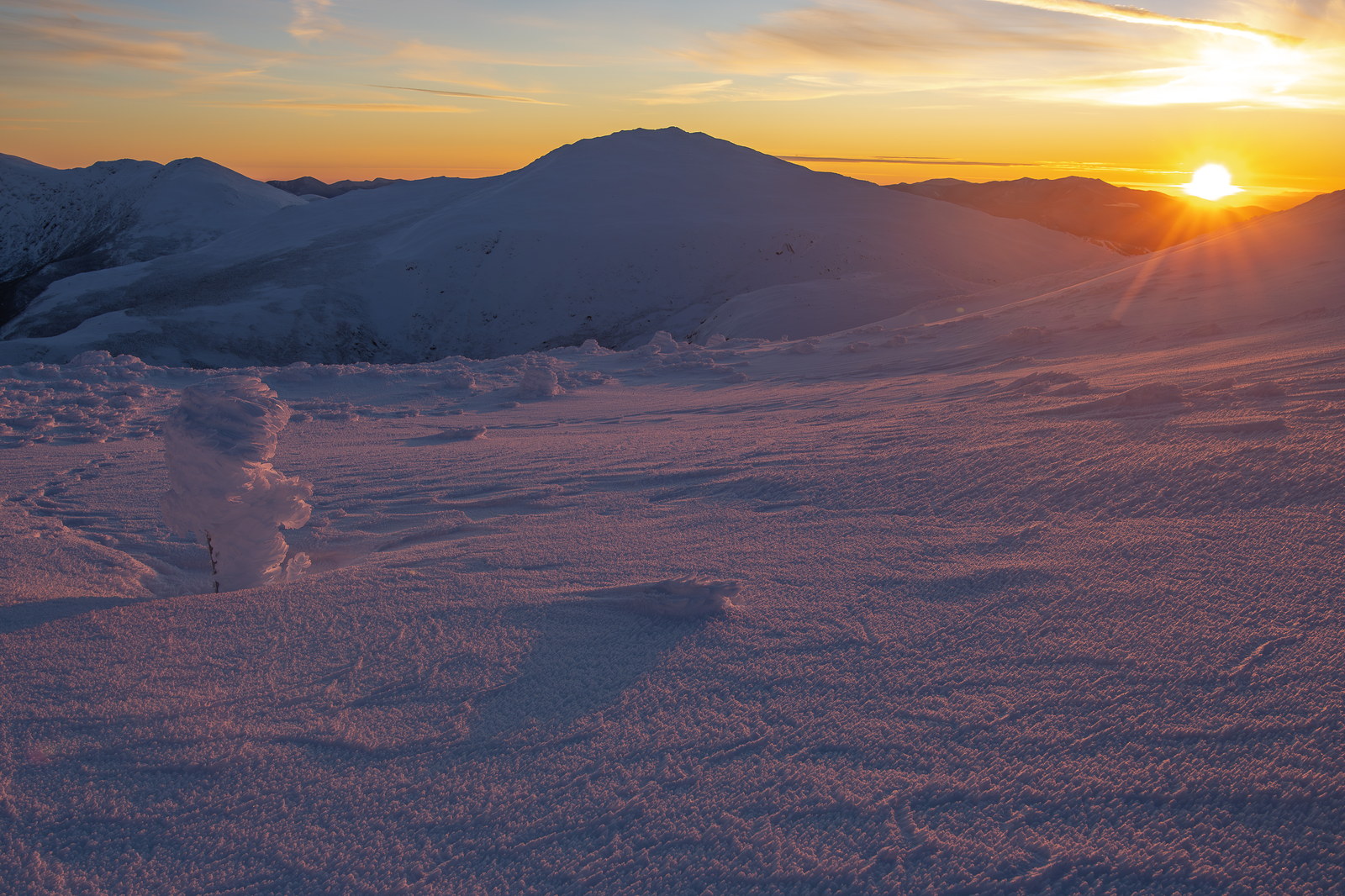
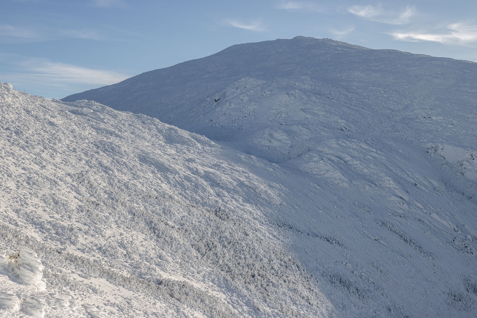
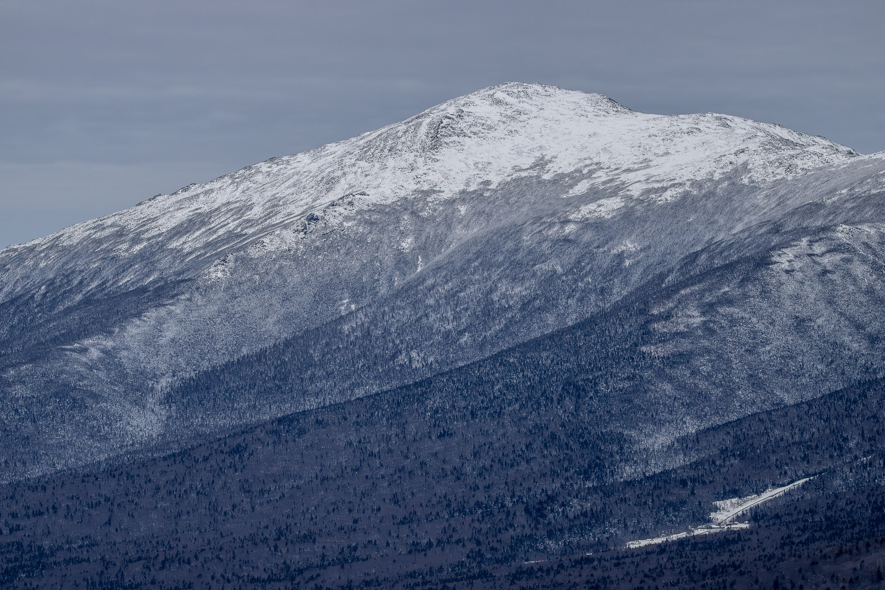
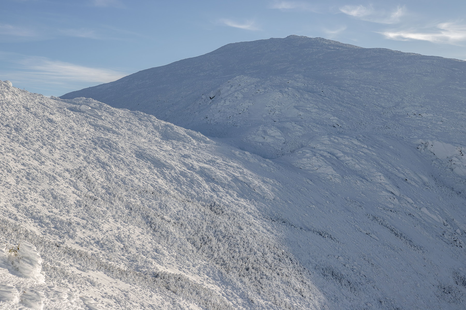
Gorham, NH point forecast
Wind10 mph W
Gusts10 mph
Precip1%
Humidity80%
5-Day Forecast
NOAA / NWS day and night periods near this summit point.
Sat
63°F / 56°F
Partly Sunny then Slight Chance Showers And Thunderstorms
Sun
64°F / 55°F
Areas Of Fog then Chance Showers And Thunderstorms
Mon
62°F / 52°F
Showers And Thunderstorms
Tue
60°F / 54°F
Chance Rain Showers
Wed
62°F / 56°F
Chance Rain Showers then Chance Showers And Thunderstorms
Forecast Snapshots
Choose 1-hour snapshots or 15-minute checkpoints from the NOAA hourly forecast.
Sat 10:00 AM
Mostly Sunny
Mostly Sunny
Temp59°F
Wind10 mph W
Gusts10 mph
Precip1%
Humidity80%
NOAA hourly forecast period
Primary NOAA point forecast coverage is available for this summit location.