NOAA / NWS
Snapshot unavailable
Live summit weather is temporarily unavailable. Static trip-planning guidance remains available below.
Mount Madison is a 5,367-foot mountain at the northern end of the Presidential Range in New Hampshire.
Mount Madison
 Golden Hour on Mount Madison Ridge
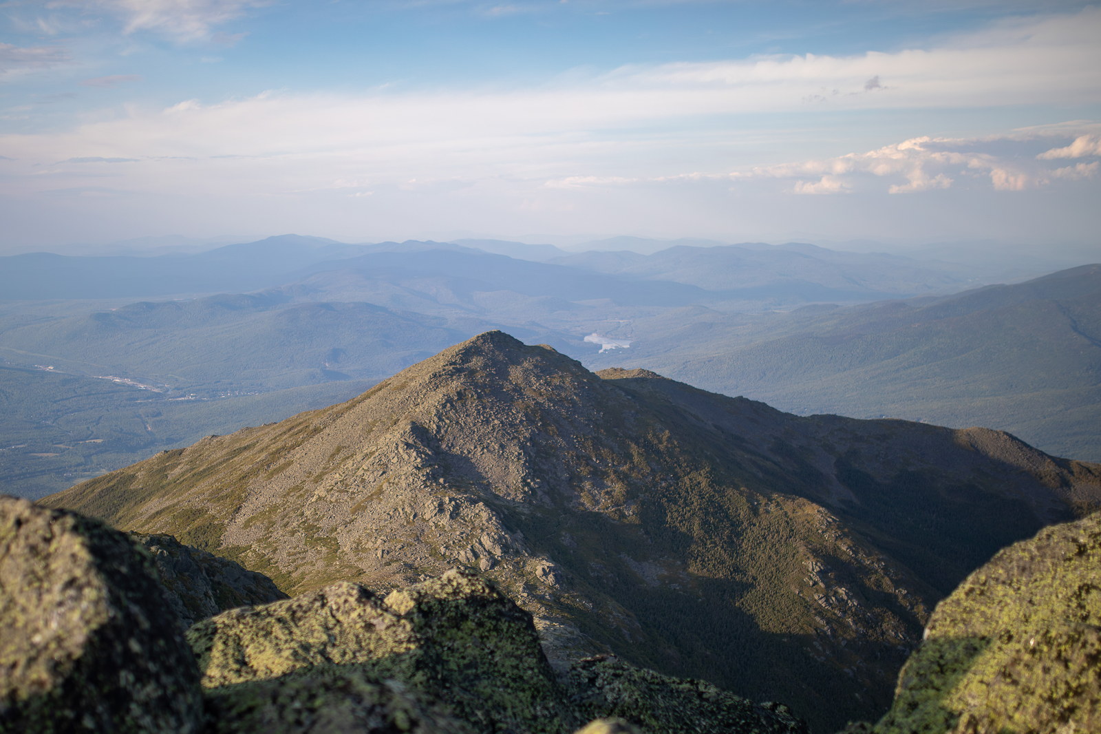
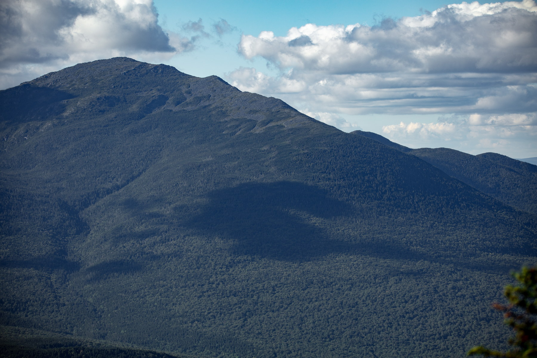
 Afternoon Shadows on Mount Madison
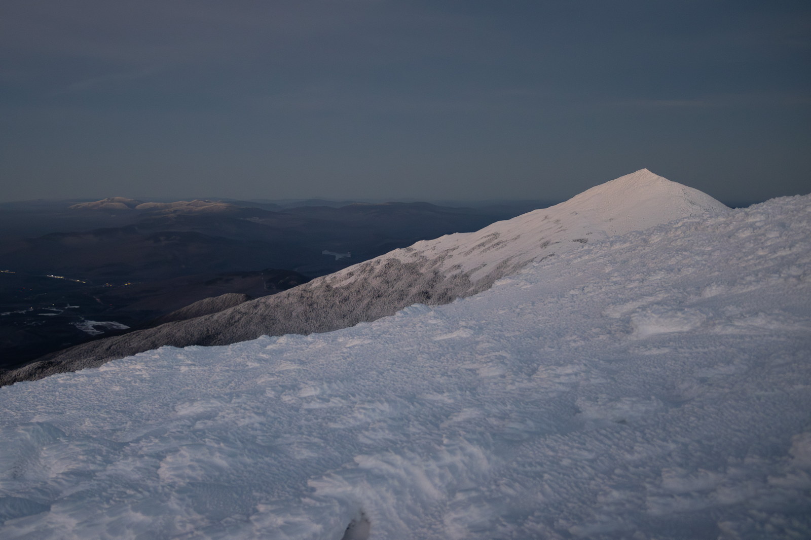
 Twilight Frost on Mount Madison Summit
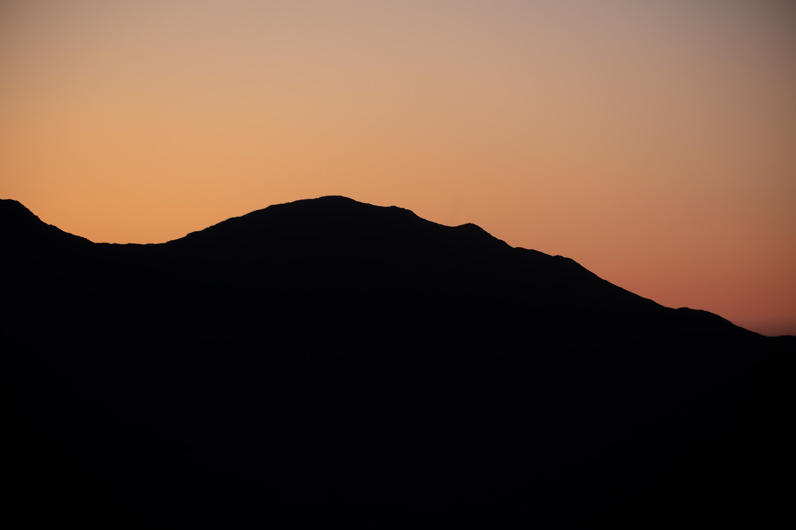
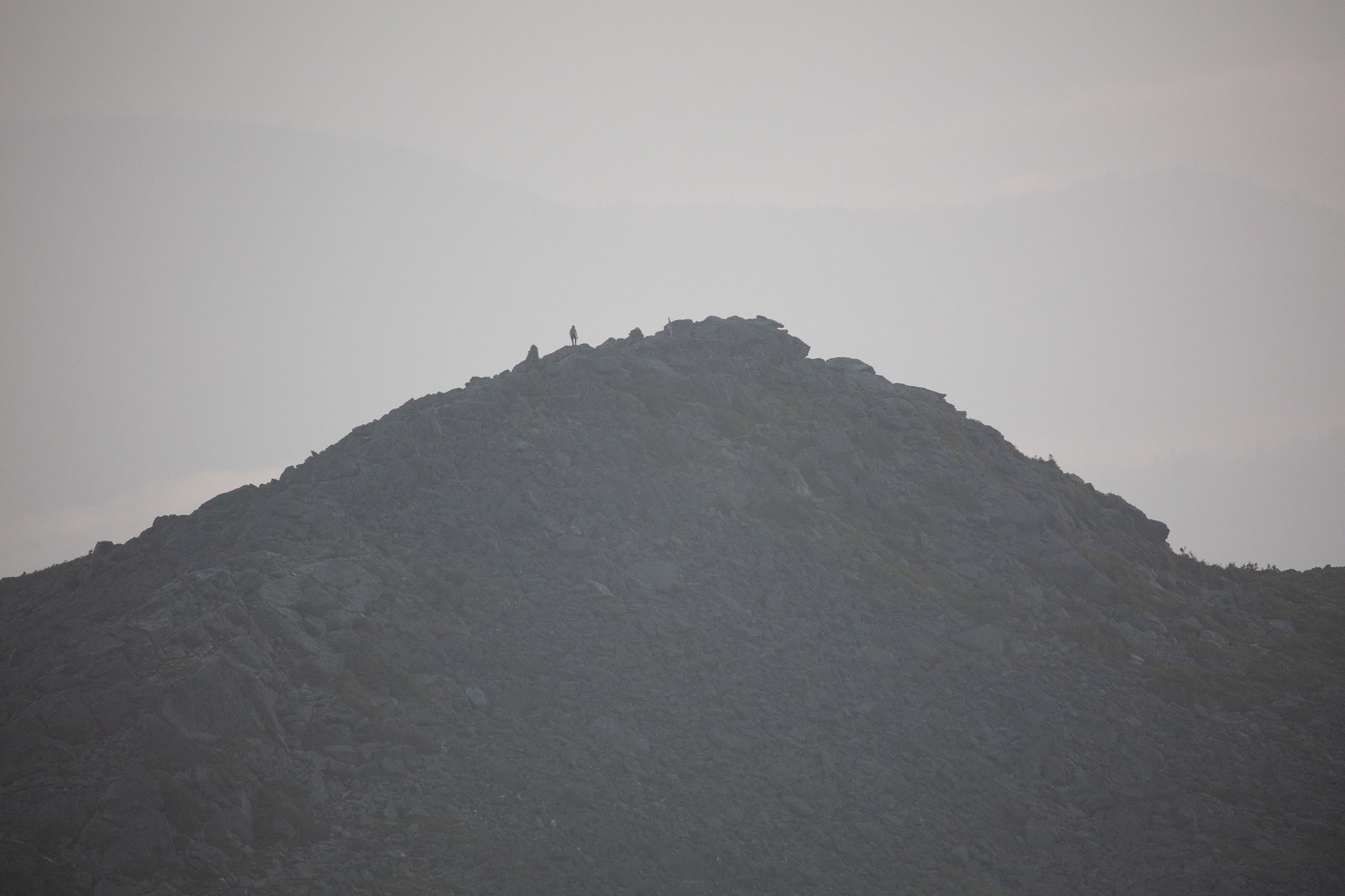
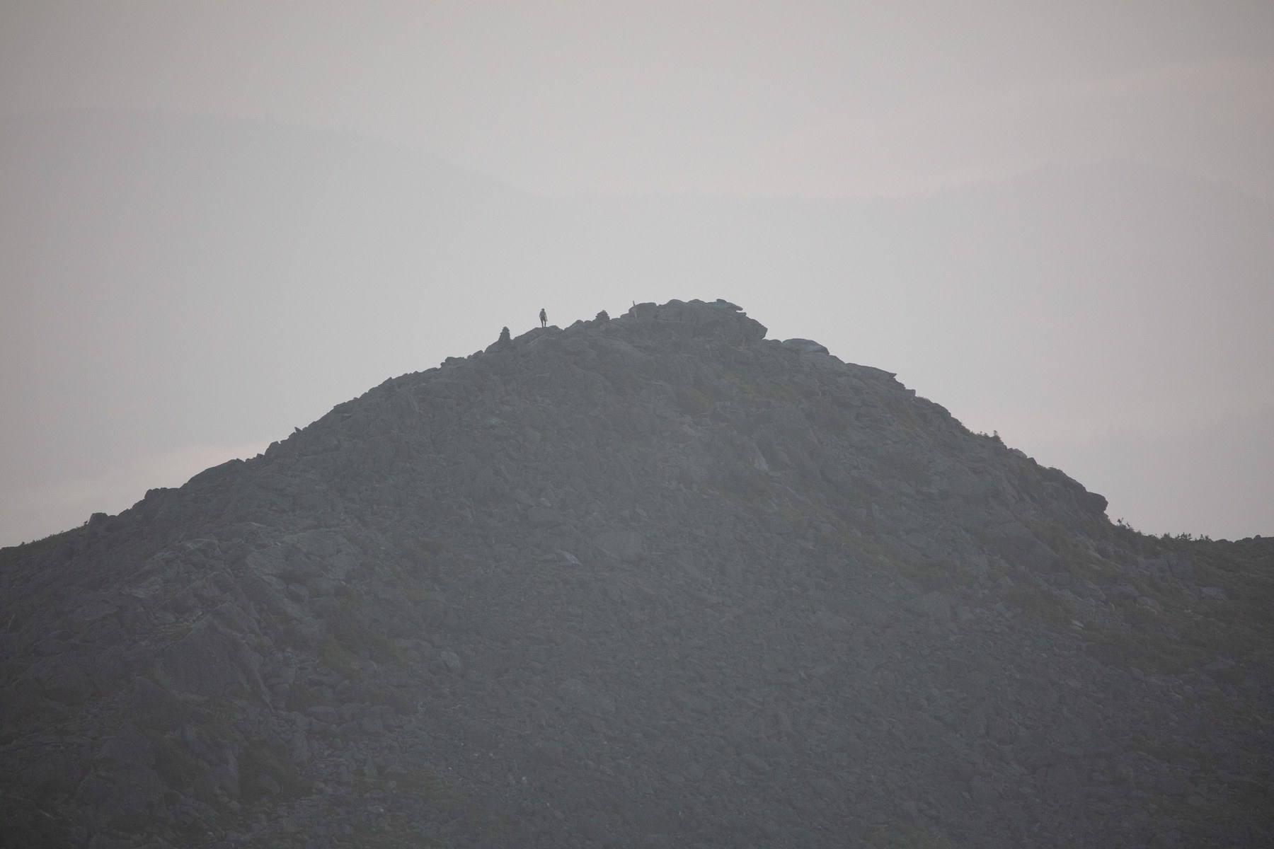
 Silhouetted Contours of Mount Madison at Dusk
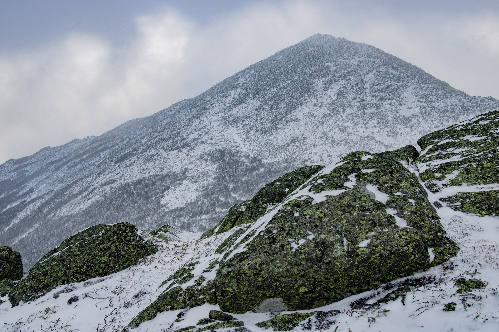
 Winter Windswept Slopes of Mount Madison
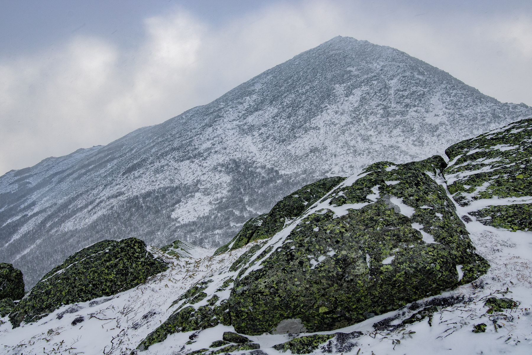
 Snow-Dusted Summit of Mount Madison
 Early Morning Solitude on Mount Madison
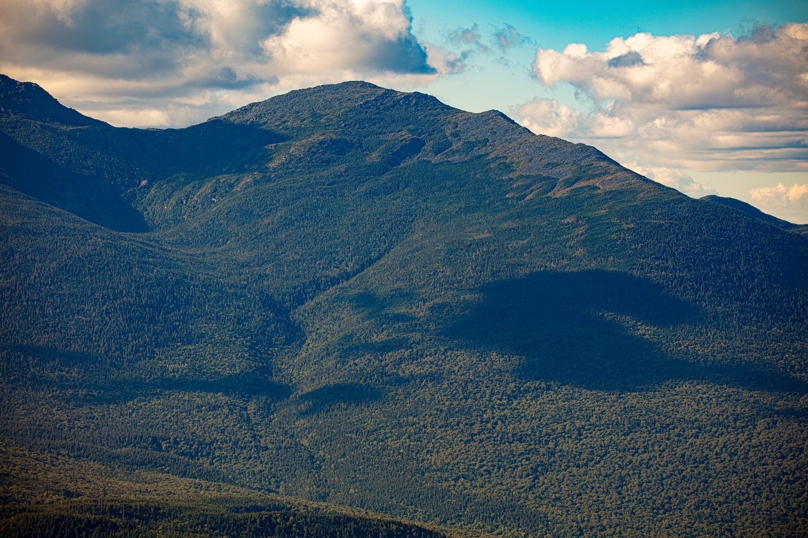
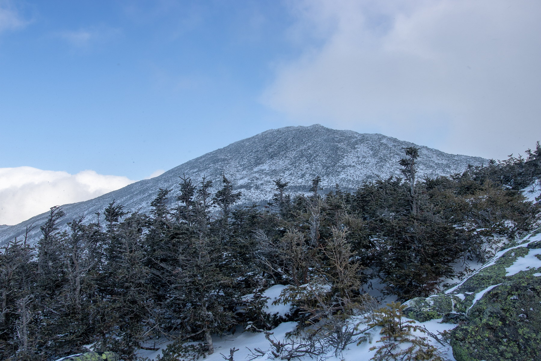
 Afternoon Light on Mount Madison's Forested Slopes
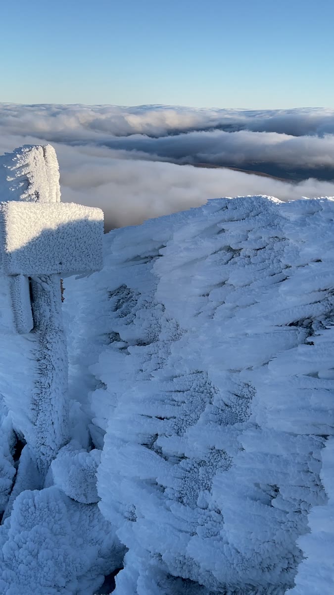 Rime-Coated Summit Marker Above Mount Madison's Clouds
Open video page
Rime-Coated Summit Marker Above Mount Madison's Clouds
Open video page
NH48 stylized terrain with summit marker, contours, and nearby trails.
Static map preview
Mount Madison: summit area with linked trail context.
NOAA / NWS point forecast for this summit location.
Live summit weather is temporarily unavailable. Static trip-planning guidance remains available below.
Sun and moon timing for this peak.
Astronomy timing is temporarily unavailable.
Stream context
Drainage context only, not a crossing safety decision. 4 linked water references; expand a row for sources and notes.
Route note: Yes - Madison Spring Hut near treeline offers water when open.
StationPEABODY RIVER UPSTREAM OF ROUTE 16, NR GORHAM, NH • 01054112
Peabody River context for Great Gulf, Imp, Carter-Moriah, and north Presidential trailheads after heavy runoff.
StationPeabody River at Gorham, New Hampshire • 01054114
StationAndroscoggin River near Gorham, NH • 01054000
StationISRAEL RIVER AB S B ISRAEL R, NEAR JEFFERSON, NH • 01130500
Northern Presidential and Jefferson side context for Caps Ridge, Appalachia, and Waumbek / Starr King planning.
Treat rising, stale, modeled, or missing readings conservatively.
Verify official sources and posted signs before driving to a trailhead.