


NOAA / NWS
Instantane indisponible
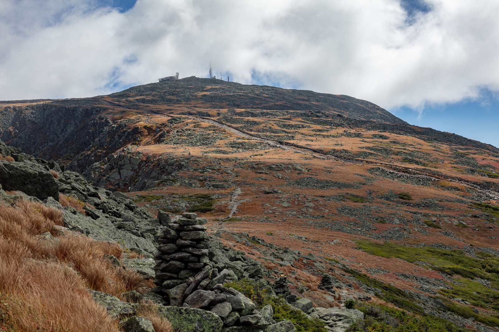
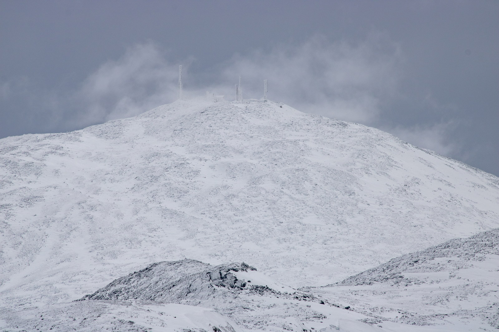
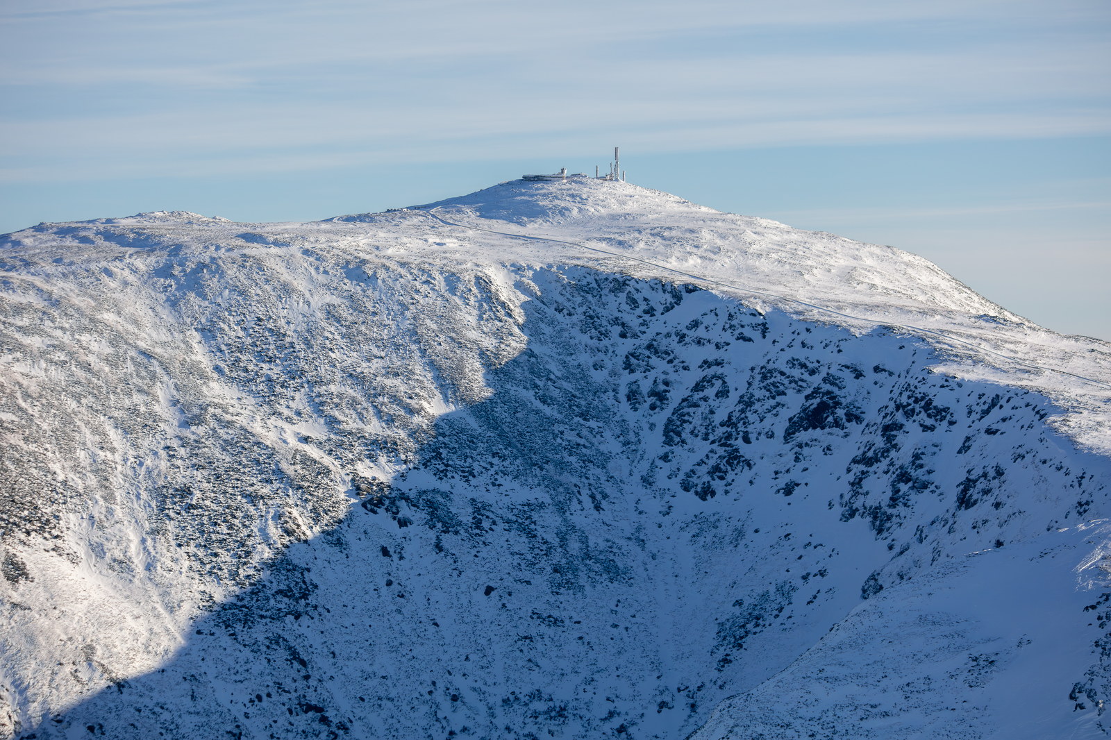
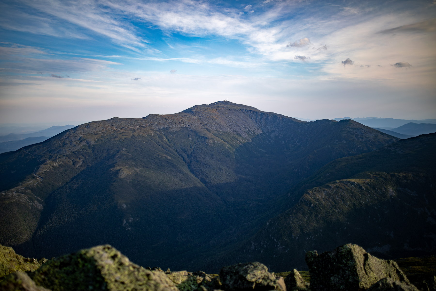
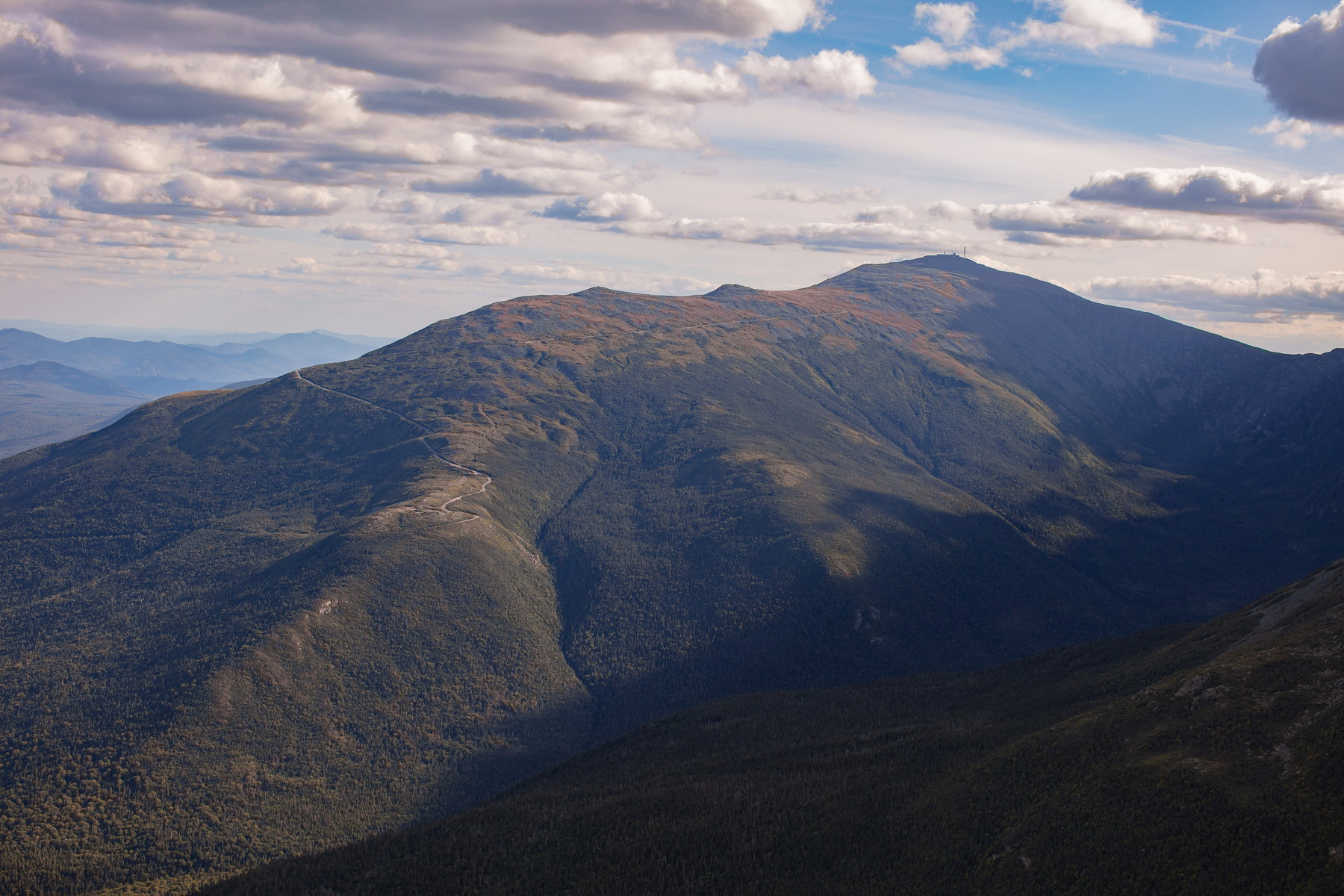
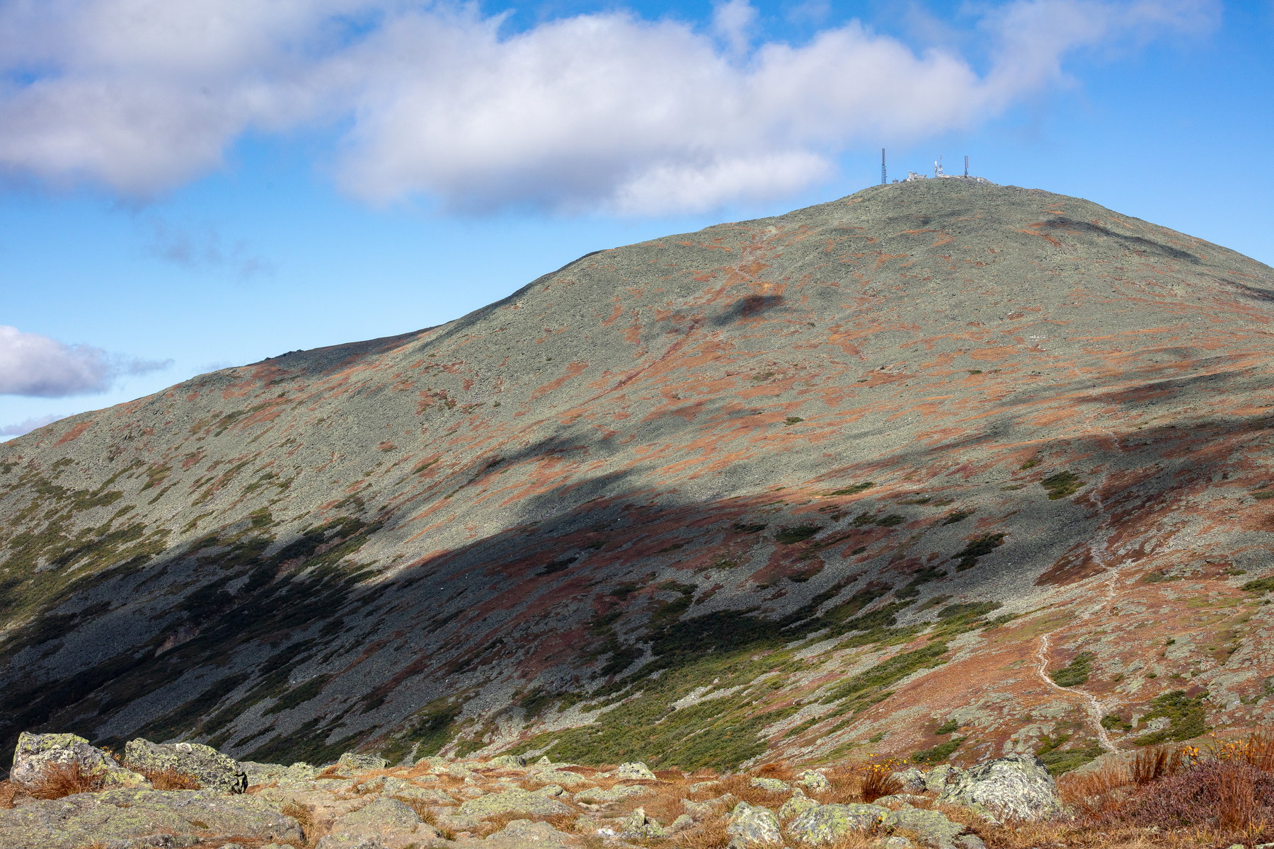
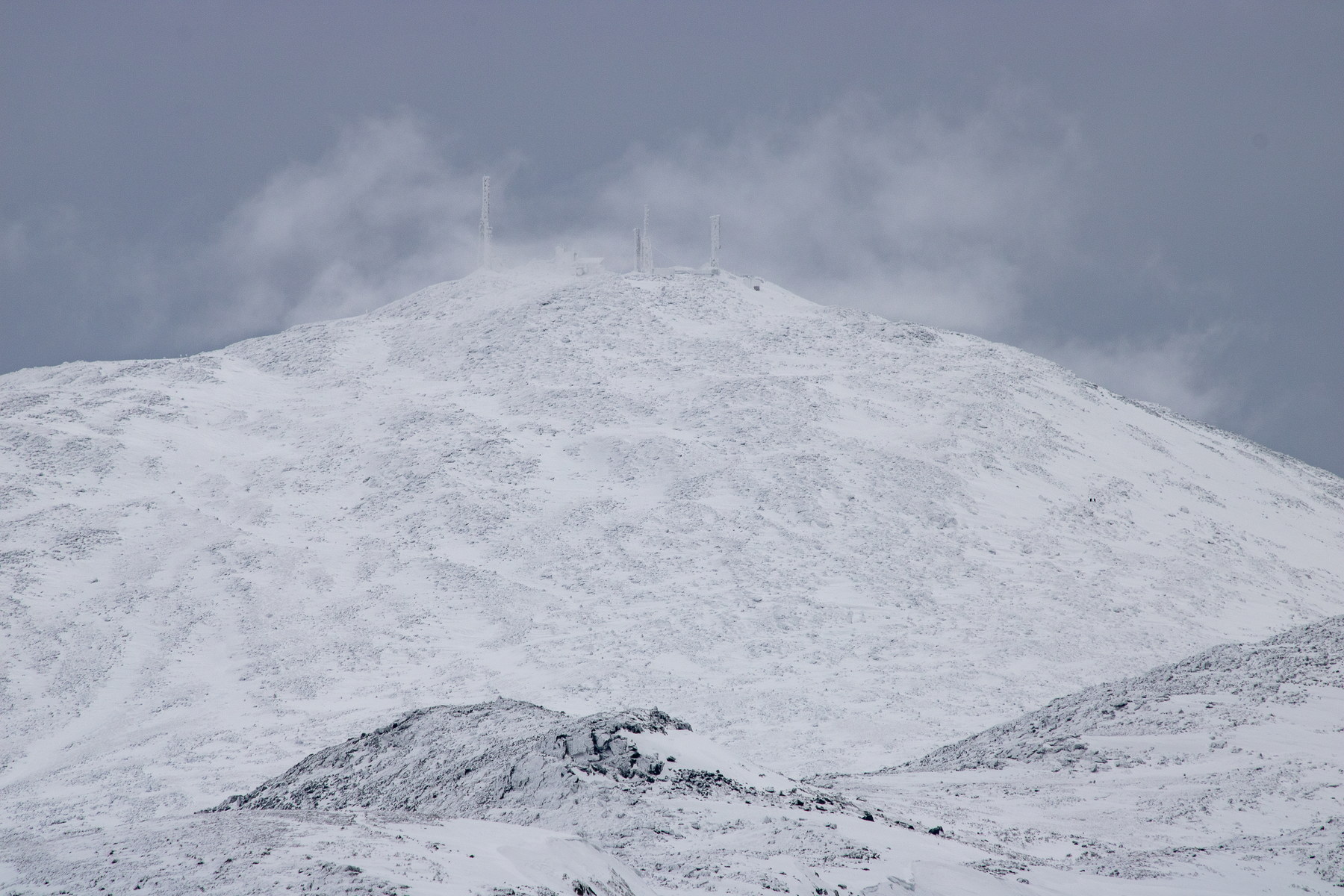
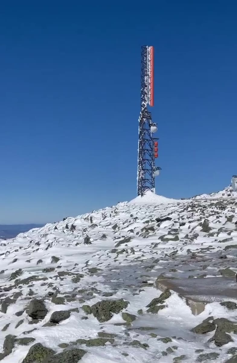
Previsions des hauts sommets du MWOBSBulletin officiel pour les terrains exposes des White Mountains
La meteo live est temporairement indisponible. Le contenu statique de planification reste disponible ci-dessous.