
NEW HAMPSHIRE 4,000-FOOTERS
NH48 Peak Catalog
Peak information, common routes, and photographs for all 48 mountains.
Open peak catalog
Peak information, trail maps, weather reports, and photographs of New Hampshire’s White Mountains.
Peak information, common routes, and photographs for all 48 mountains.
Open peak catalog
Summit forecasts, radar, and weather alerts.

Search trails by name and view mapped routes.
 Regional view · Carrigain
Peak information and routes for the NH52WAV list.
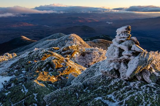
Route details, junctions, and trailhead access.
Route map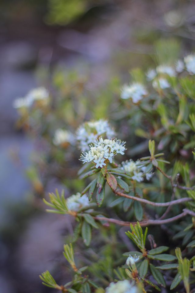

Compare historical land records and forest-cover maps.
Photographs by Nathan Sobol · White Mountains Pictures
4,000-footers
Peak information, common routes, and photographs for New Hampshire’s 48 four-thousand-foot peaks.
Peak cards show elevation, range, and common hiking details.
Weather & alerts
NWS summit forecasts, weather-model estimates, and active alerts. Check the issue time before leaving.
Forecast details, issue time, and alerts appear here.
Trail photography
Browse trail and summit photos by mountain, range, season, or year. Open a photo for its capture date, location notes, and tags when available.
 Mount MoosilaukeMount Moosilauke Rock
 Mount MoosilaukeSummit View
 Sandwich RangeSpring Forest Floor Growth
 Cannon MountainMoss & Lichen
 Mount MadisonHowker Ridge in Spring
Browse recent trail, summit, and forest photographs. Open a photo
Trailhead access
Reported Forest Service road and gate status. An open listing does not guarantee a passable road.
Reported status and last checked time appear here.
Stream readings
USGS streamflow and gage height near White Mountain trails. Readings show water trends, not whether a crossing is safe.
Loading the latest available USGS readings.
Trail finder
Search mapped trails by name and compare their routes. Mapped distance is not necessarily the length of a complete hike.
Choose a region and trail to compare its route line with nearby trail options.
Start here
The NH48 list, mountain ranges, common peak groups, and route comparisons.
Start with ranges, peak groups, difficulty, or hike planning.
Long-distance hiking
Mapped sections, distances, and route estimates for long-distance trails. Check current notices with the managing organization.
Route sections and mapped distance appear here.
Plants & habitats
Plant photographs, names, habitat information, and identification references.
Plant observations and identification notes appear here.
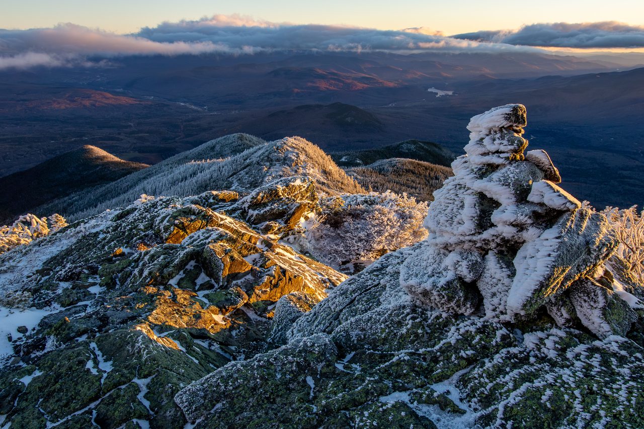
Northern Presidentials
Route details, trailhead access, junctions, and points of interest on the climb to Mount Madison.
Route facts, major junctions, and map points appear here.
PeakList Plan
Choose a peak or route, add a date and group size, and save a packing list on PeakList.
Choose a peak, route, or custom trip on PeakList.
Photo games
PeakID, timed peak identification, and jigsaw puzzles using White Mountain photographs.
Try PeakID, a timed round, or a mountain jigsaw.
Companion List
Explore 52 more New Hampshire hiking objectives beyond the NH48, organized by range and searchable by name.
Search the same NH52WAV mountain records found in the full catalog.
White Mountain National Forest
Compare recorded land acquisition in 1913 with modeled forest cover in 2015.
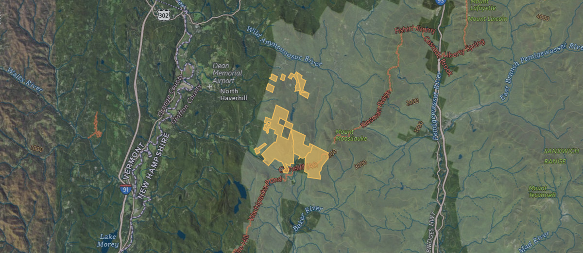
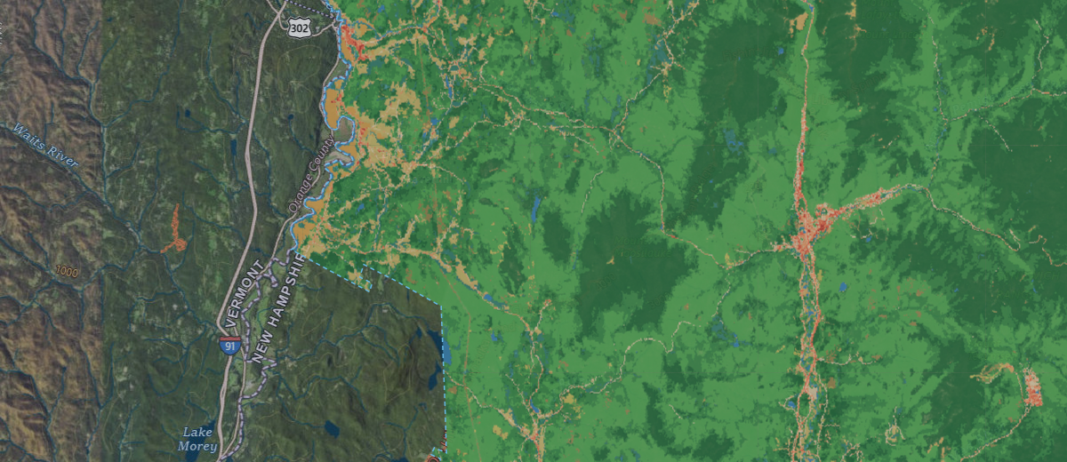
Loading map comparison…
1913 shows land ownership, not forest cover. The background imagery is modern.
Uses today’s parcel outline for the recorded 1913 purchase, not a surveyed 1913 boundary.
30 m land-cover and tree-canopy models. Uncolored areas outside the dashed coverage boundary show reference imagery only.
Map snapshot: September 7, 2026. This preview has a fixed extent; open the full map to pan, zoom, or choose other years.
USDA Forest Service · USGS Annual NLCD / MRLC · Reference imagery: USGS The National Map
NH48.info provides peak information, trail maps, and photographs of New Hampshire’s White Mountains.
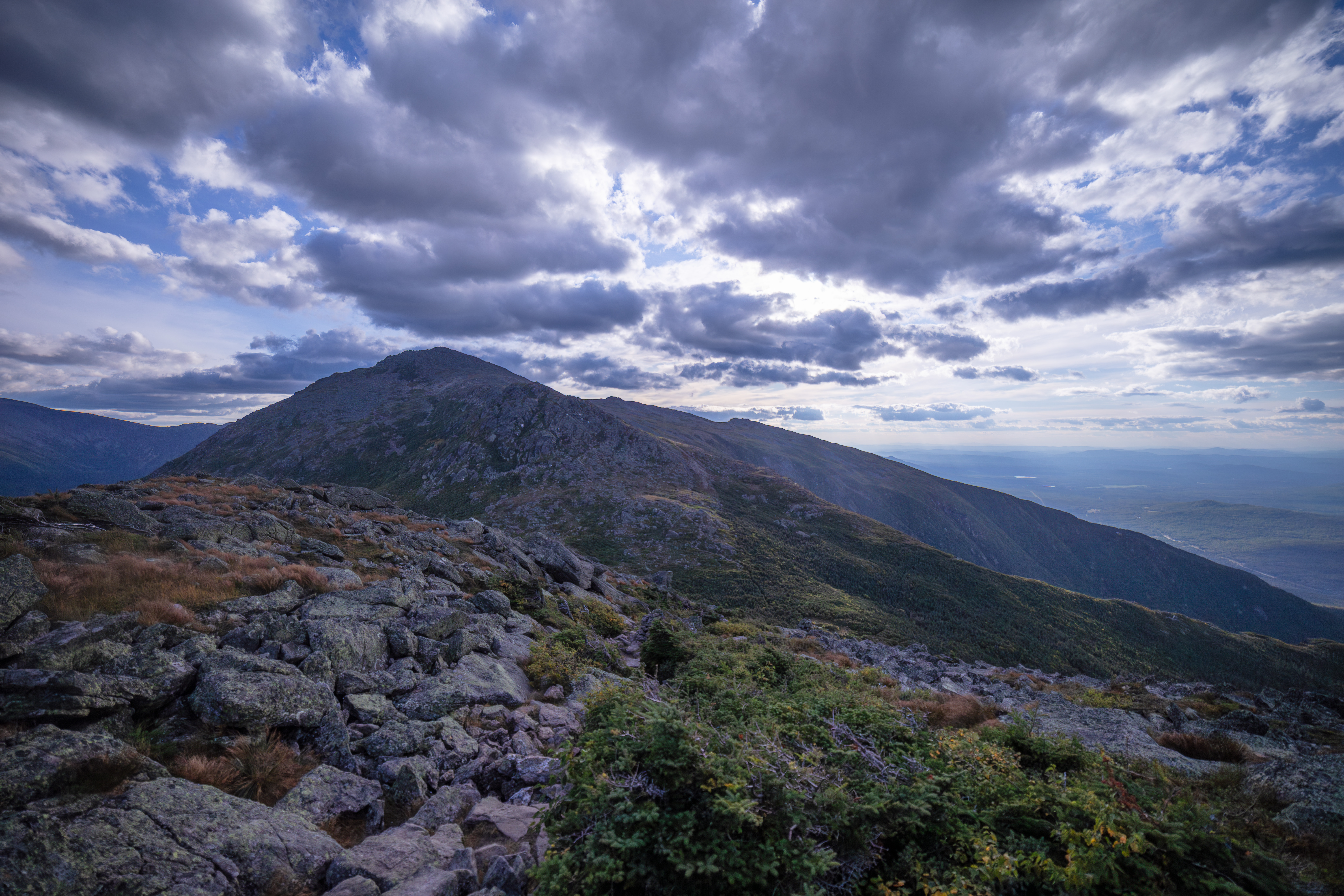
NH48.info is a volunteer‑run White Mountains reference centered on New Hampshire’s 48 four‑thousand‑foot peaks. The site now combines detailed peak guide pages, route and trail context, range-level browsing, photo-rich summit coverage, and a growing visual wiki for hikers, planners, researchers, and curious mountain people.
Most of the site is meant to be read like a normal guide first. You can open a peak page for elevation, prominence, routes, nearby links, photos, and map context, then branch into the trail explorer, range catalog, or wiki when you want a wider view. For builders and data users, authenticated API access is available for NH48, NH52WAV, and PeakList Pro Long Trails when you need cloud fetches and managed keys.
Send Edit to Author
NH48 Peak Catalog – Browse all 48 peaks through dedicated guide pages with summit stats, route panels, range grouping, curated photos, and links into related trails and nearby peaks.
White Mountains Visual Wiki – Browse connected mountain, plant, and animal entries in a field-guide layout with internal links between peaks, trails, and natural history.
Range Catalog – Compare the Presidential, Franconia, Carter-Moriah, Kinsman, Twins and Bonds, and other groups in one place when you want a broader view than a single summit page.
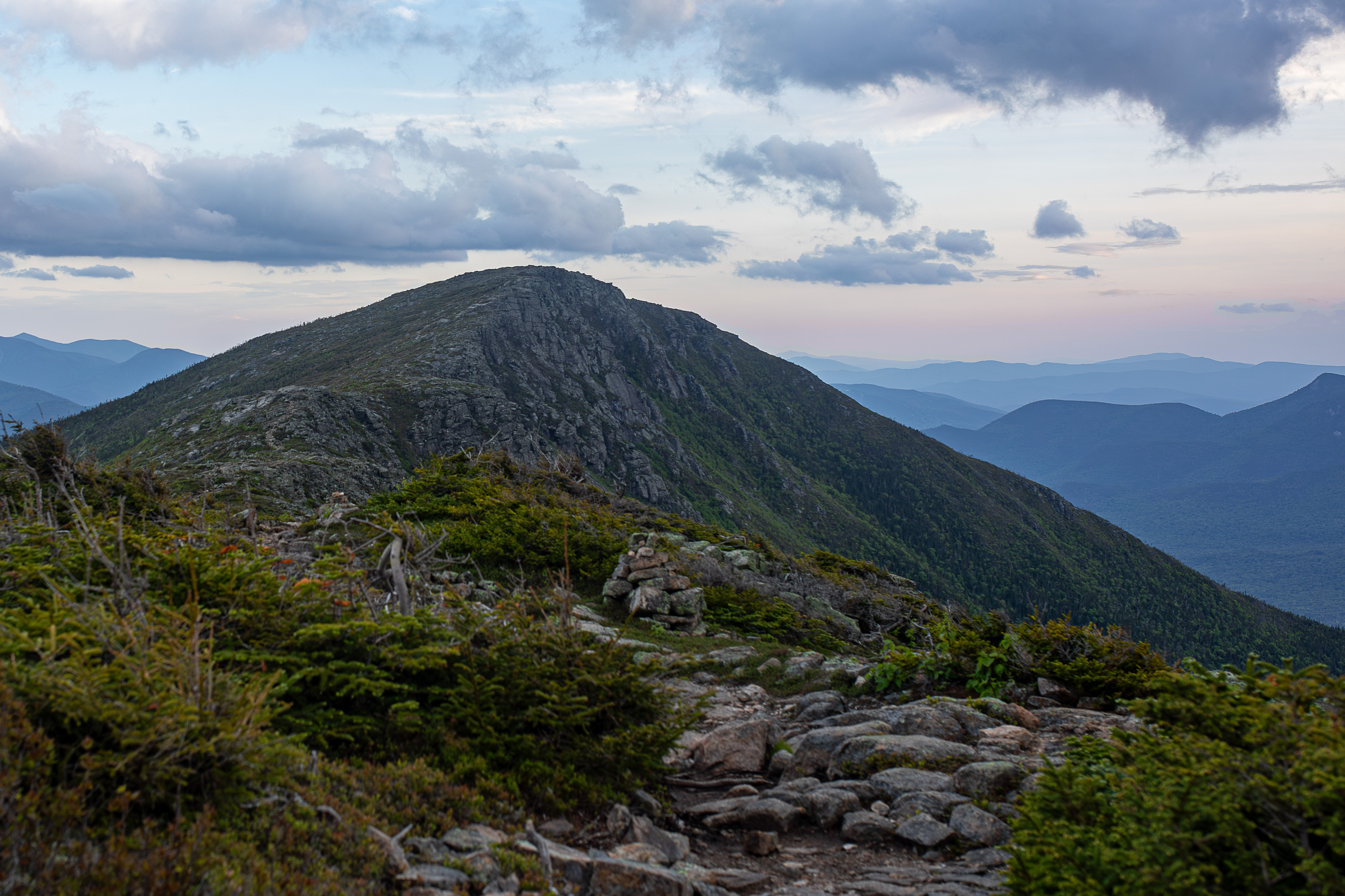
White Mountain Trails Explorer – Search and map official and unofficial trails across the White Mountain National Forest with segment-level distance, elevation gain, permitted uses, surface notes, and trailhead context.
Long Trails – Explore larger route systems such as the Appalachian Trail and Pacific Crest Trail with segment data, elevation profiles, and map geometry.
NH48 Photos – Browse mountain and trail photography with alt text, captions, and metadata that make the image archive useful for both people and machines.
API Access – Sign in with the shared NH48.app account system to review plan limits, manage keys, and fetch NH48, NH52WAV, or gated PeakList Pro Long Trails packs from authenticated cloud endpoints.
Peak Planning Tool – Build day hikes and completion plans with route metrics, exposure context, and practical planning filters.
PeakID, Timed PeakID, and the Jigsaw Puzzle turn the photo archive into lighter-weight learning tools when you want a break from maps and stats.
Howker Ridge Plant Catalog – Document alpine and subalpine species along the Howker Ridge Trail with common and Latin names, habitat notes, bloom windows, elevation bands, and photo references.
Howker Ridge Trail Info – Read route history, elevation profiles, segments, and points of interest, then jump into the interactive map or the plant log map.
Because the site is maintained in spare time, conditions, closures, and land-management details can change. Please confirm current access and route status with official sources, and use the Send Edit to Author link if you spot something outdated or missing.
Photo use: Images are offered for non-commercial and educational use only; they remain the property of the site and may not be sold or printed without permission. For curated galleries and prints see NH48pics.com, and for peak-bagging progress and account tools see NH48.app.