NOAA / NWS
Snapshot unavailable
Live summit weather is temporarily unavailable. Static trip-planning guidance remains available below.
Mount Lincoln is a 5,089-foot (1,551 m) mountain in the Franconia Range of the White Mountains.
Mount Lincoln
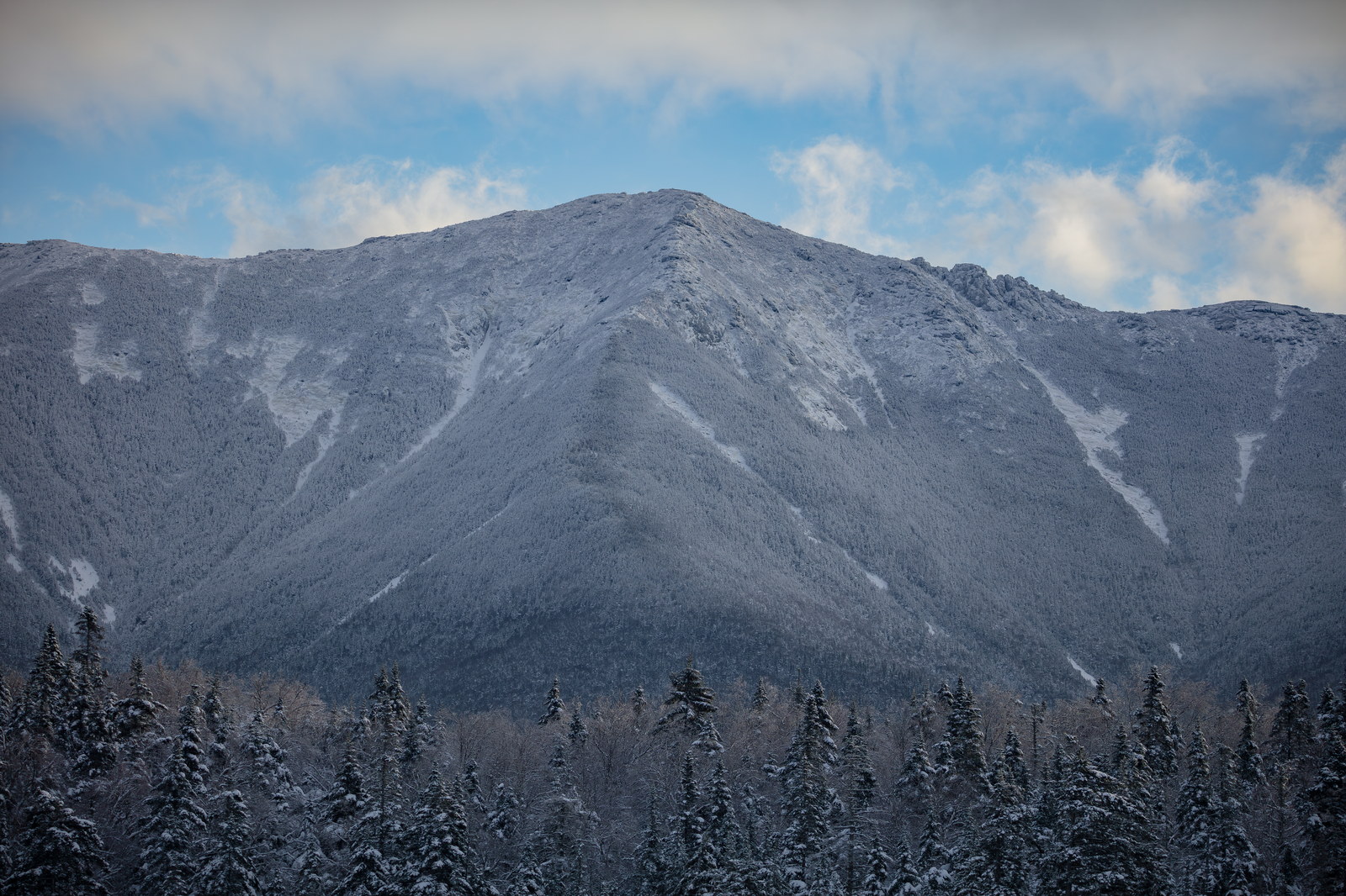
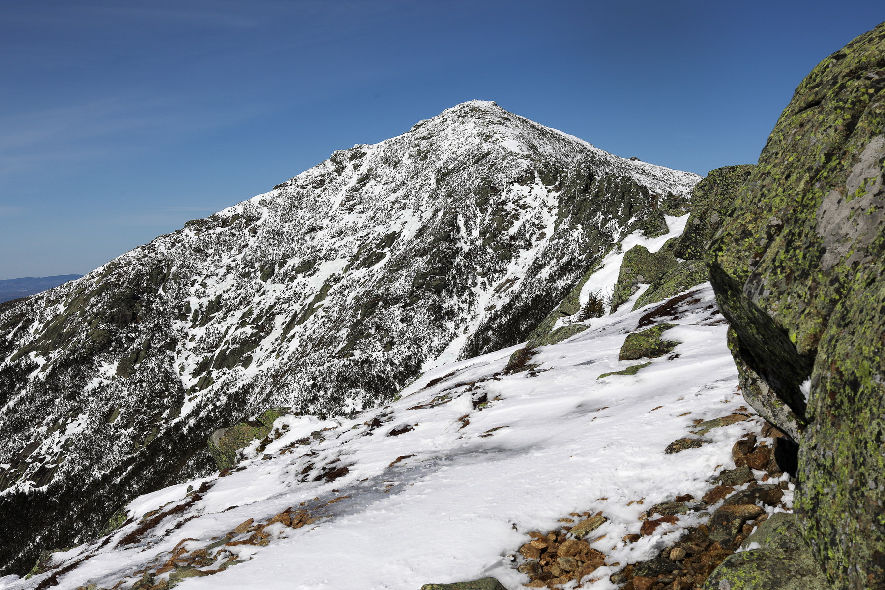 Snow-Dusted Mount Lincoln Ridge
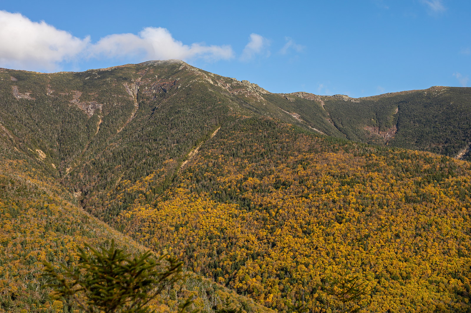
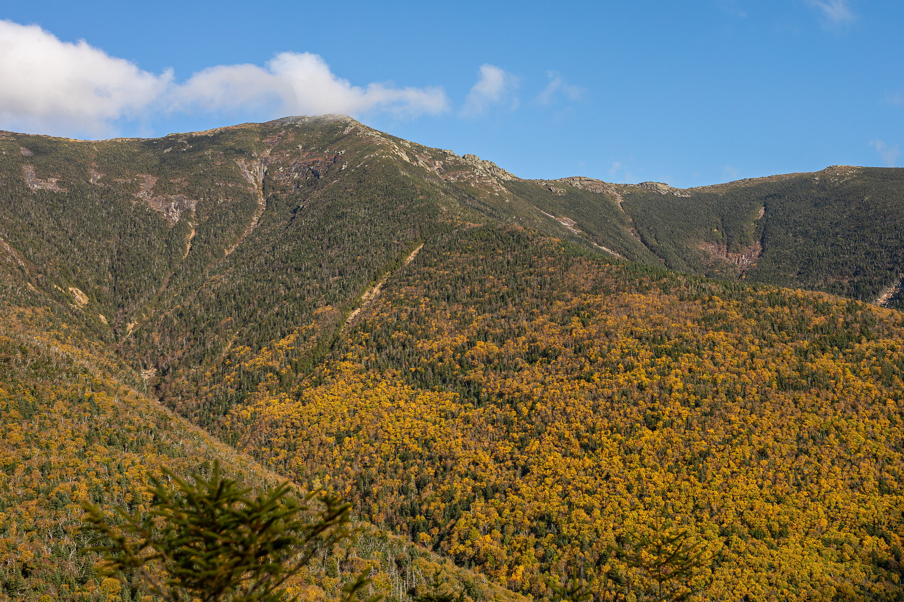 Golden Canopy Below Mount Lincoln Summit
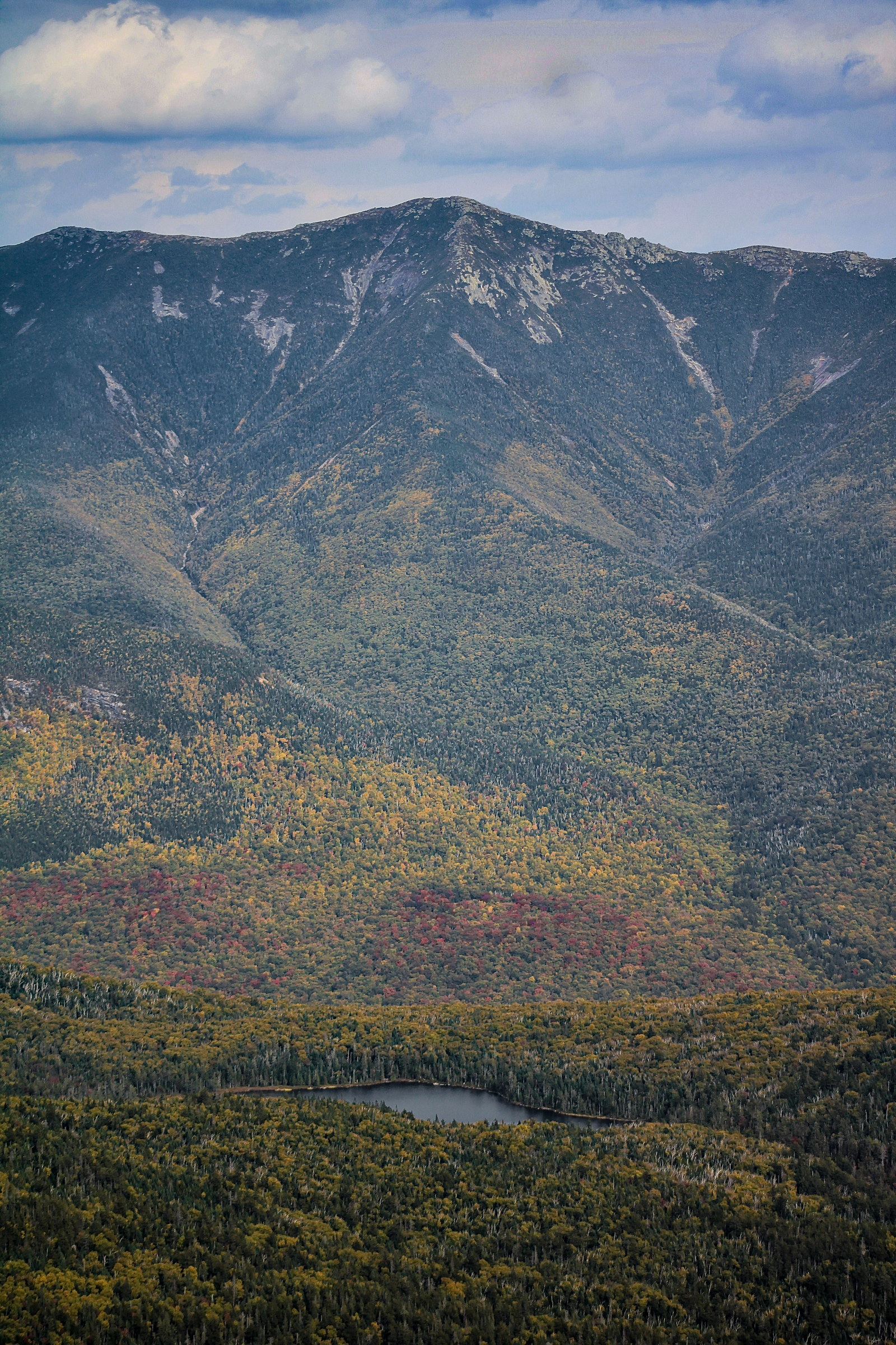
 Autumn Hues Beneath Mount Lincoln Summit
 Frosted Summit of Mount Lincoln
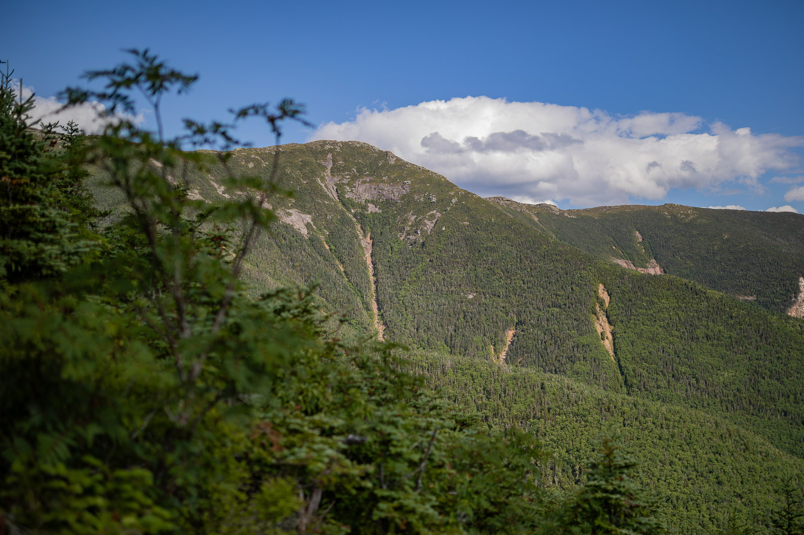
 Afternoon Light on Mount Lincoln Ridge
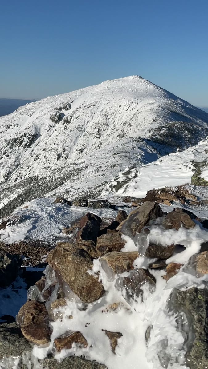 Iced Cairns and Bright Ridges from Mount Lincoln
Open video page
Iced Cairns and Bright Ridges from Mount Lincoln
Open video page
NH48 stylized terrain with summit marker, contours, and nearby trails.
Static map preview
Mount Lincoln: summit area with linked trail context.
NOAA / NWS point forecast for this summit location.
Live summit weather is temporarily unavailable. Static trip-planning guidance remains available below.
Sun and moon timing for this peak.
Astronomy timing is temporarily unavailable.
Stream context
Primary trailheads are linked, but no WMNF seasonal access-road dependency is currently linked to this route. This is common for state highways, AMC lots, ski-area lots, or year-round paved road access.
Verify official sources and posted signs before driving to a trailhead.