


NOAA / NWS
Updated Fri, Jul 31, 2:23 PM EDT
64°F
Isolated Showers And Thunderstorms
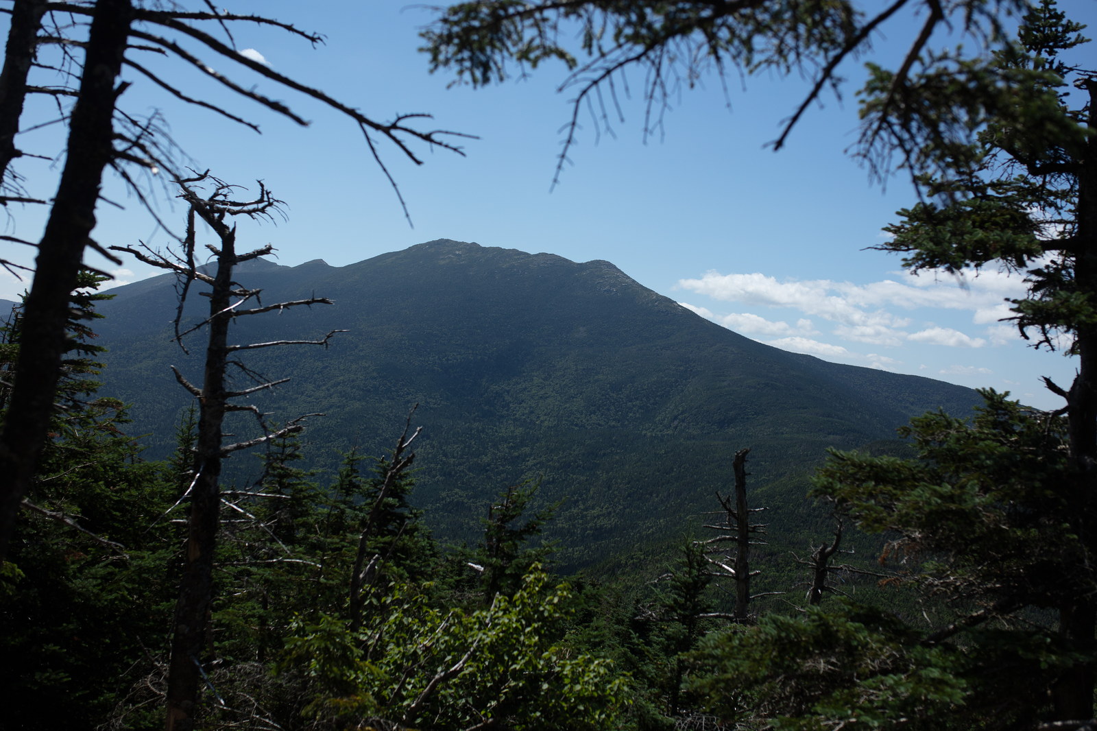
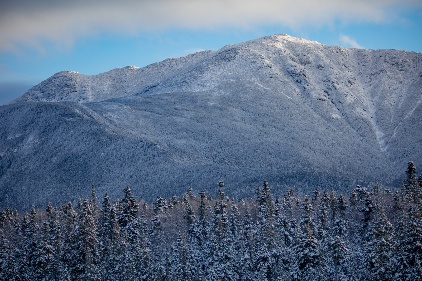
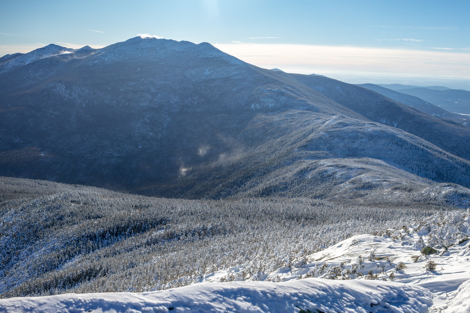
Lincoln, NH point forecast
Wind10 mph NW
Gusts16 mph
Precip18%
Humidity84%
5-Day Forecast
NOAA / NWS day and night periods near this summit point.
Fri
66°F / 53°F
Isolated Showers And Thunderstorms
Sat
70°F / 57°F
Mostly Sunny
Sun
70°F / 57°F
Mostly Cloudy then Slight Chance Rain Showers
Mon
65°F / 54°F
Showers And Thunderstorms
Tue
68°F / 53°F
Mostly Sunny then Chance Rain Showers
Forecast Snapshots
Choose 1-hour snapshots or 15-minute checkpoints from the NOAA hourly forecast.
Fri 5:00 PM
Isolated Showers And Thunderstorms
Isolated Showers And Thunderstorms
Temp64°F
Wind10 mph NW
Gusts16 mph
Precip18%
Humidity84%
NOAA hourly forecast period
Primary NOAA point forecast coverage is available for this summit location.