NOAA / NWS
Snapshot unavailable
Live summit weather is temporarily unavailable. Static trip-planning guidance remains available below.
North Kinsman Mountain is a 4,293-foot peak in the Kinsman Range of the White Mountains, in Grafton County, New Hampshire.
North Kinsman Mountain
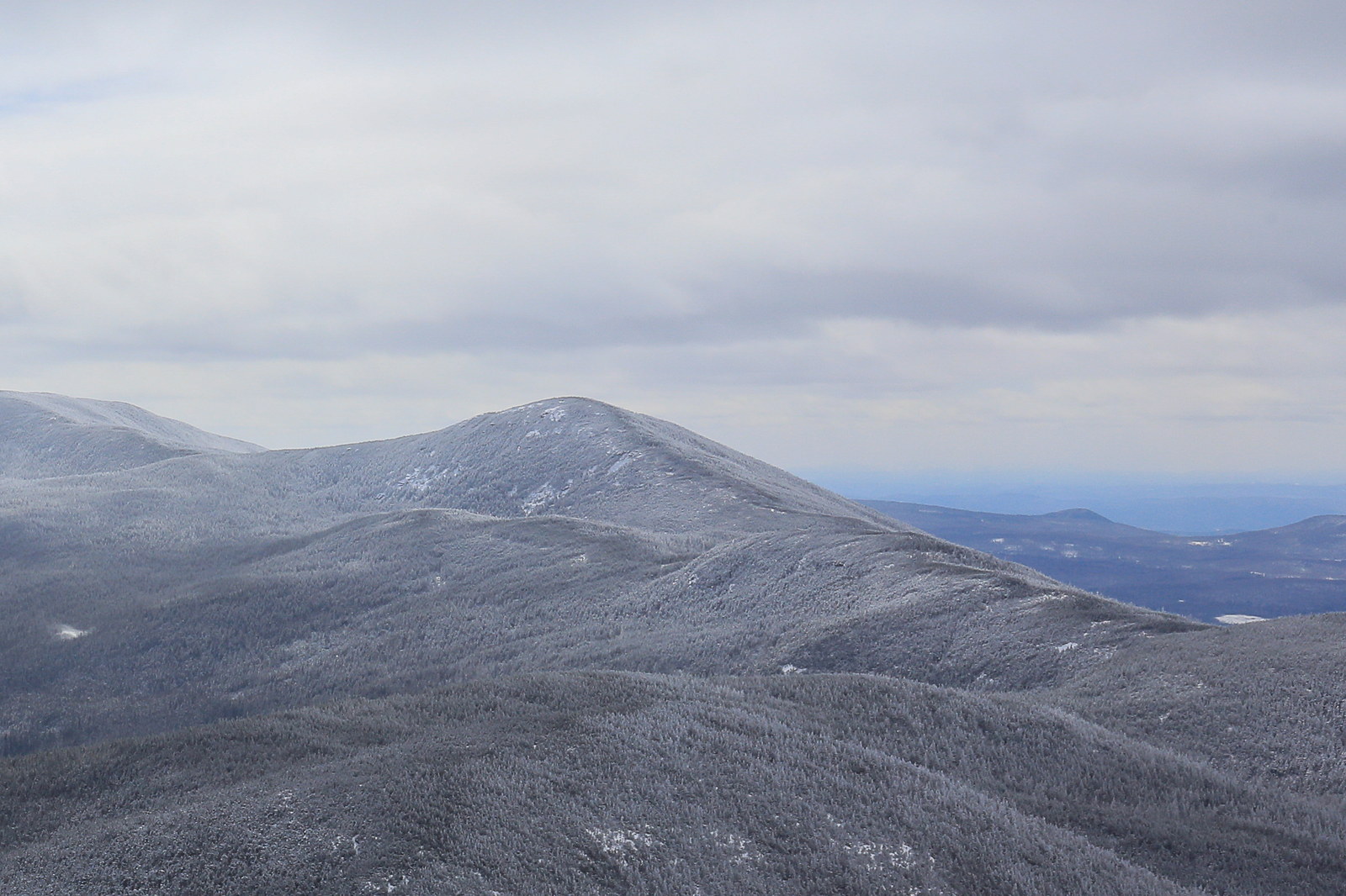
 Overcast Afternoon on North Kinsman Mountain
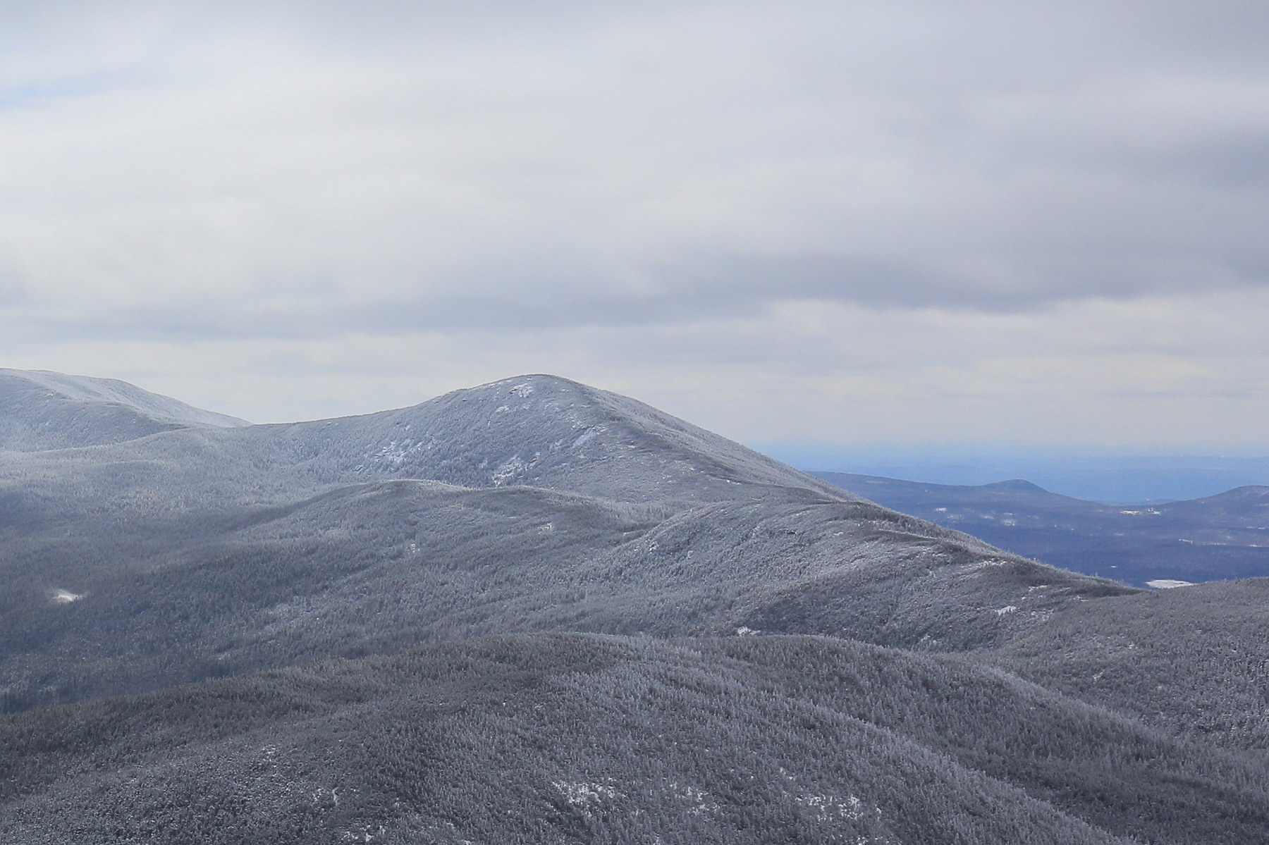
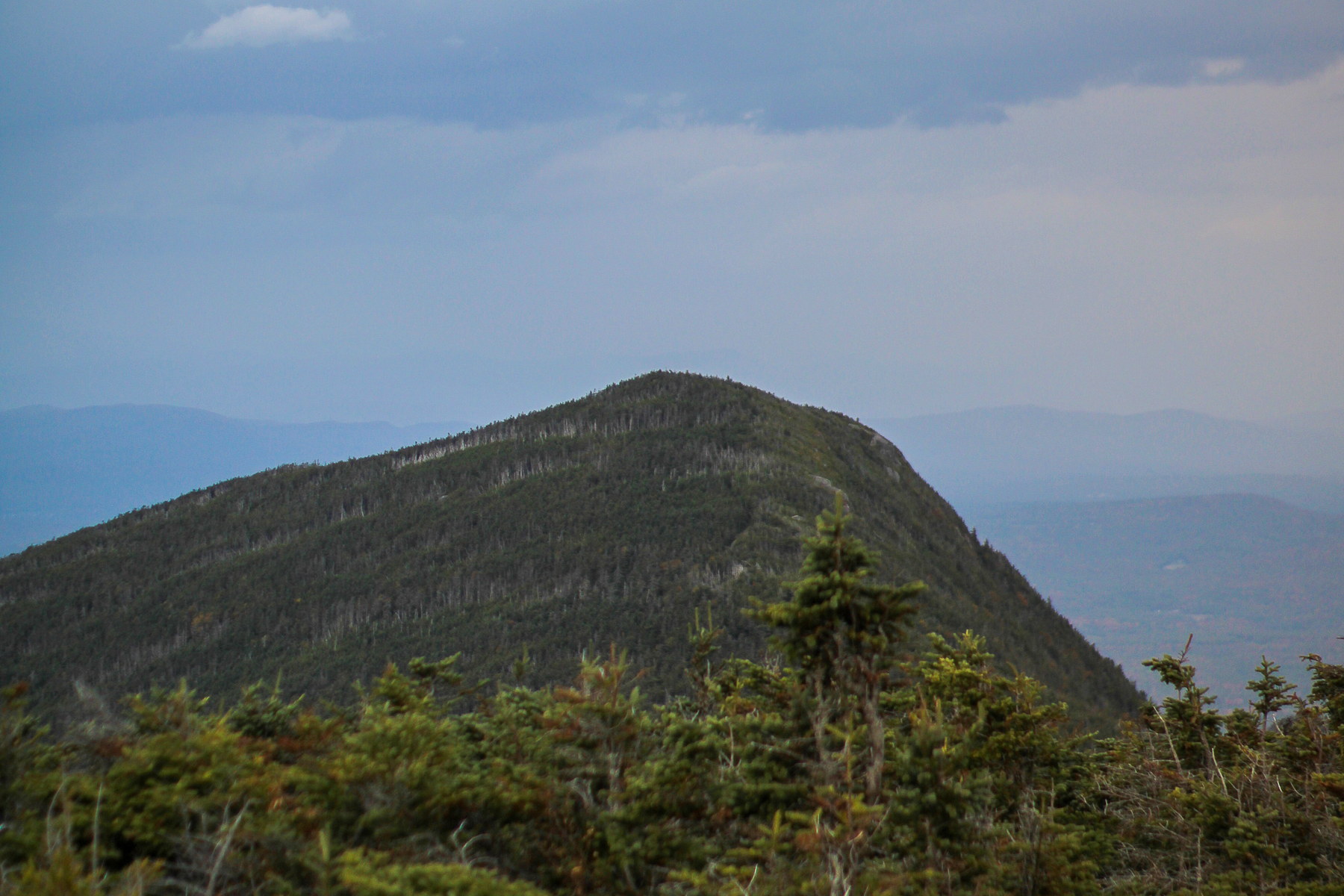 Cloud-Hung Summit of North Kinsman Mountain
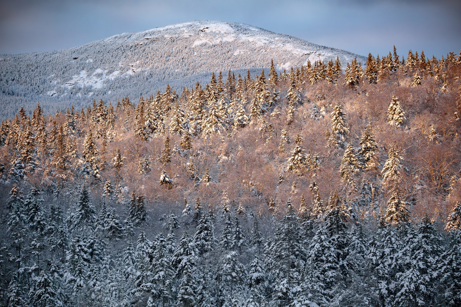
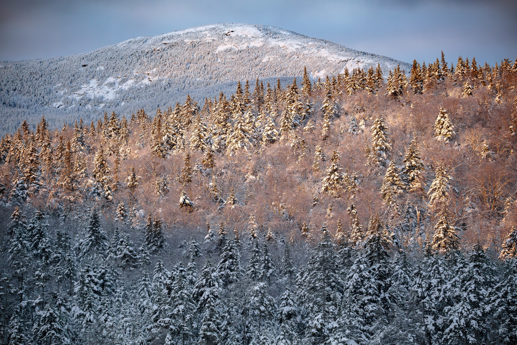 Winter Dawn Illuminates North Kinsman Mountain
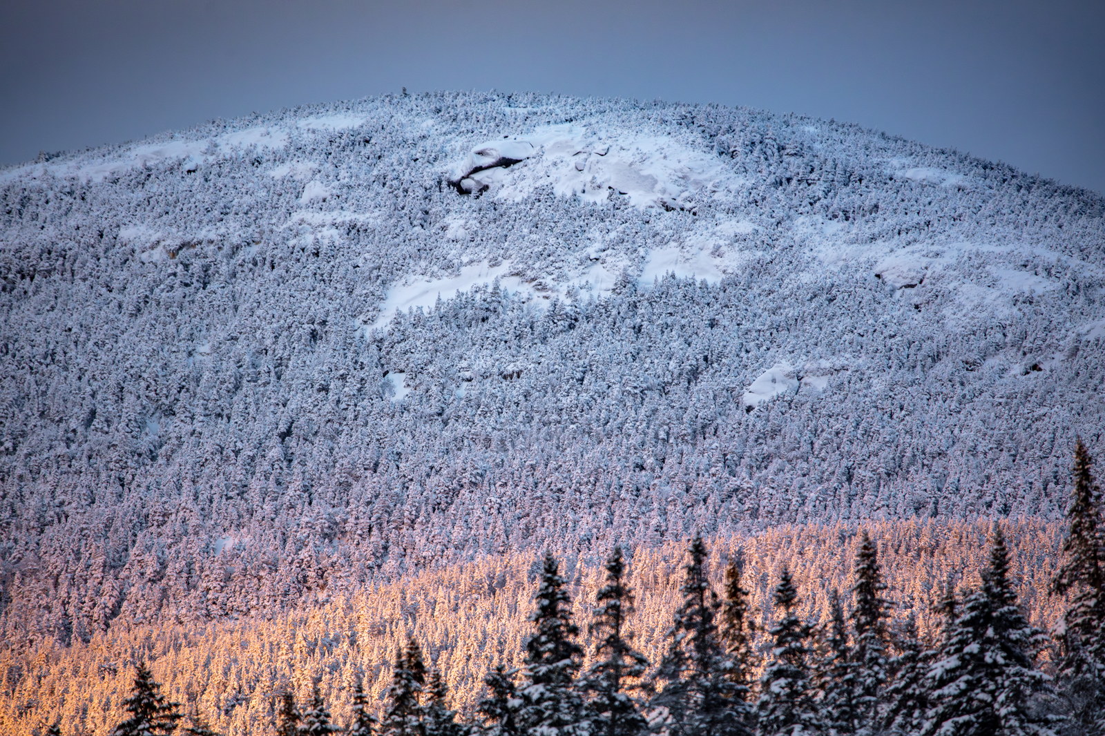
 Sunrise Light Touches North Kinsman Mountain
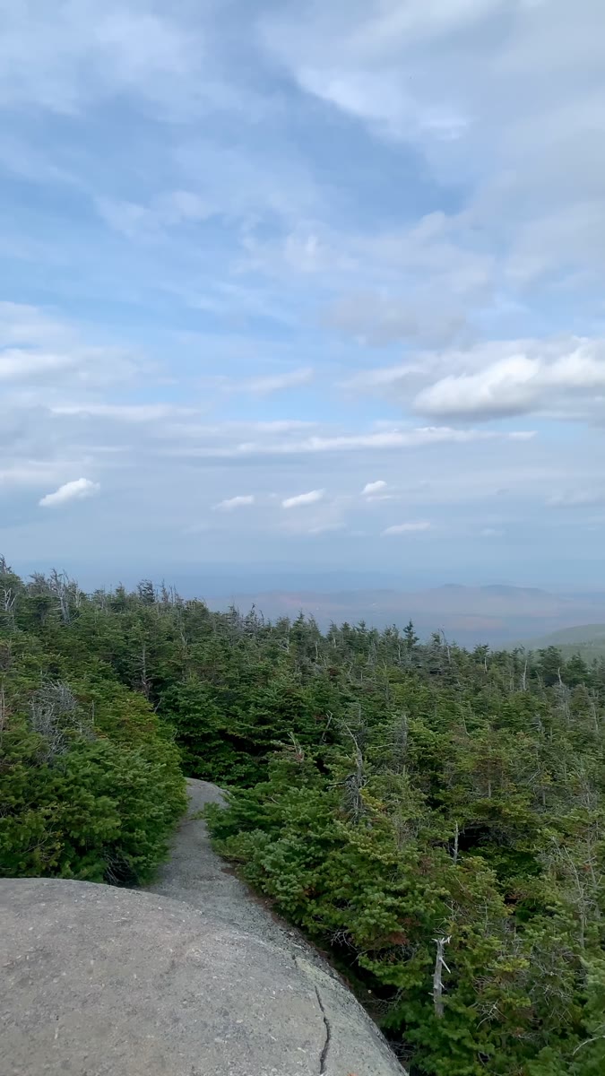 Open Ledge and Clouded Valley from North Kinsman
Open video page
Open Ledge and Clouded Valley from North Kinsman
Open video page
NH48 stylized terrain with summit marker, contours, and nearby trails.
Static map preview
North Kinsman Mountain: summit area with linked trail context.
NOAA / NWS point forecast for this summit location.
Live summit weather is temporarily unavailable. Static trip-planning guidance remains available below.
Sun and moon timing for this peak.
Astronomy timing is temporarily unavailable.
Stream context
Drainage context only, not a crossing safety decision. 3 linked water references; expand a row for sources and notes.
Route note: Yes – water and restrooms at AMC Lonesome Lake Hut and streams along the lower trails
StationEAST BRANCH PEMIGEWASSET RIVER AT LINCOLN, NH • 01074520
Strong Lincoln Woods and East Branch Pemigewasset context for Owl's Head, Liberty-Flume, and broader Franconia / Pemigewasset access days.
StationOLIVERIAN BROOK AT NH 25, NR EAST HAVERHILL, NH • 01139300
Oliverian Brook context for Moosilauke south-side access and Oliverian Brook Trail conditions after rain.
StationWILD AMMONOOSUC RIVER AT NH 116, NEAR BATH, NH • 01137975
Wild Ammonoosuc context for Moosilauke, Kinsmans, and western Franconia foothill access roads and brook crossings.
Treat rising, stale, modeled, or missing readings conservatively.
Primary trailheads are linked, but no WMNF seasonal access-road dependency is currently linked to this route. This is common for state highways, AMC lots, ski-area lots, or year-round paved road access.
Verify official sources and posted signs before driving to a trailhead.