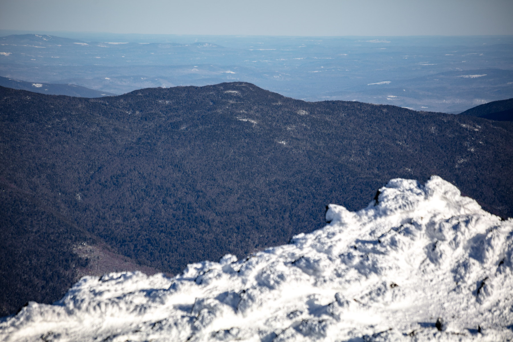
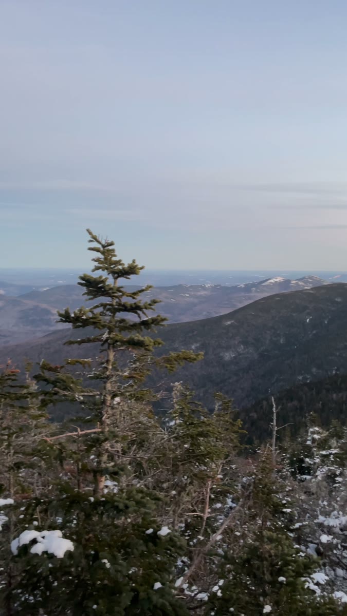
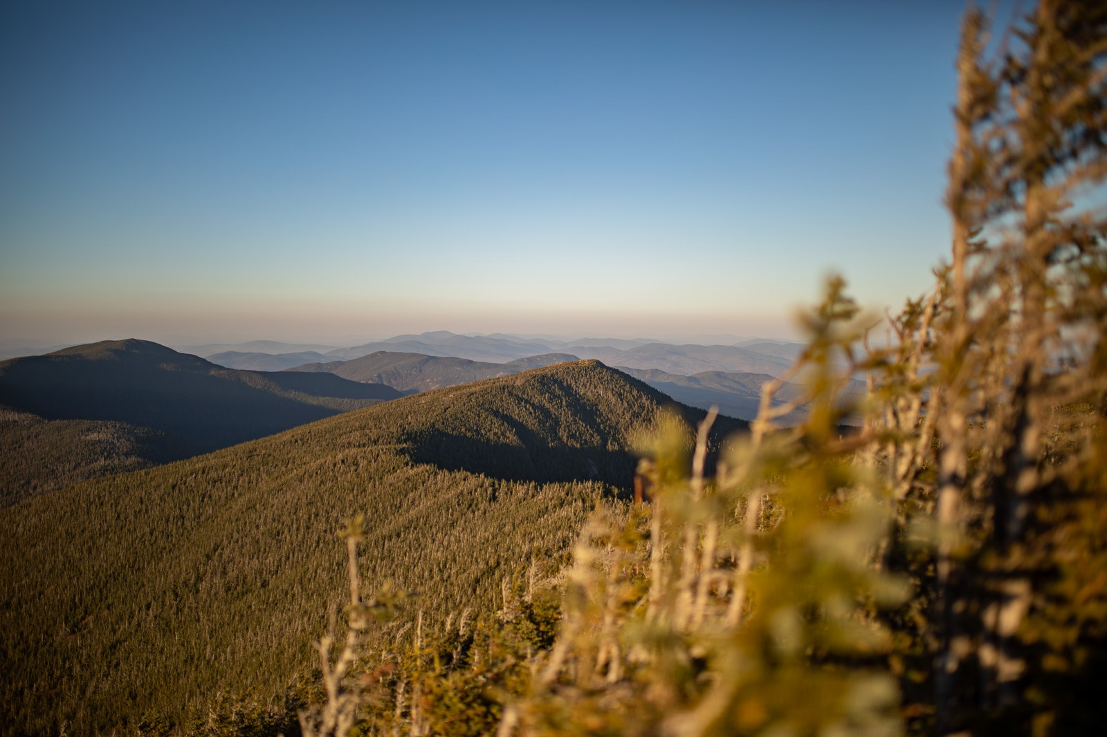
South Carter Mountain is a 4,430-foot mountain located in Coös County, New Hampshire. The mountain is part of the Carter-Moriah Range of the White Mountains. South Carter is flanked to the northeast by Middle Carter Mountain and to the southeast by Mount Hight. Like the other Carter Range peaks, its summit is wooded, and views are limited from the top, but nearby clearings along the ridge trail offer sightlines toward the Presidential Range and the Wild River valley. South Carter is another peak on the Carter-Moriah Range, lying between Middle Carter to the northeast and Mount Hight (and Carter Dome) to the southwest. It is densely wooded at the summit, like most of the Carters, with limited views. The Carter peaks derive their name from the prominent Carter family in 19th-century White Mountain history. There is some mystery as to the exact namesake – it could be in honor of Dr. Ezra Carter, a physician from Concord who was an early mountain explorer, or it could memorialize a local hunter/trapper named Carter who frequented the notch; we may never know for sure. South Carter’s history is intertwined with the development of the Carter-Moriah Trail, which was completed in the 1890s to connect the range for hikers. This trail construction came after the establishment of the White Mountain National Forest (1910s) because prior to that the area saw extensive logging. In fact, the slope east of South Carter drains into the Wild River, where huge fires in 1903 burned out the slash left by loggers. Since inclusion in the National Forest, the forests on South Carter have regrown. There was never a fire tower on South Carter (a tower was on nearby Mt. Hight for a time but not for long), and so South Carter has always been a relatively quiet, lesser-visited peak. Hikers today often remark that while the summit itself is viewless, a short walk north toward Middle Carter yields fine views west to Mount Washington – a rewarding reminder of why even these sub-alpine summits were included in the famous “NH 48” list.