NOAA / NWS
Snapshot unavailable
Live summit weather is temporarily unavailable. Static trip-planning guidance remains available below.
Carter Dome, or simply “The Dome,” is a mountain in Coös County, New Hampshire.
Carter Dome
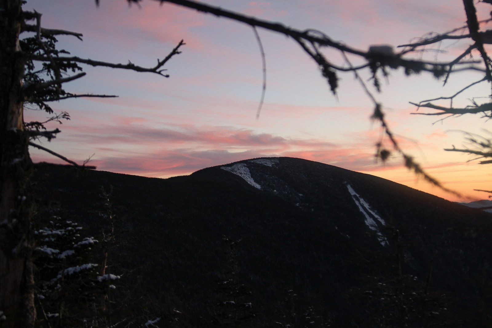
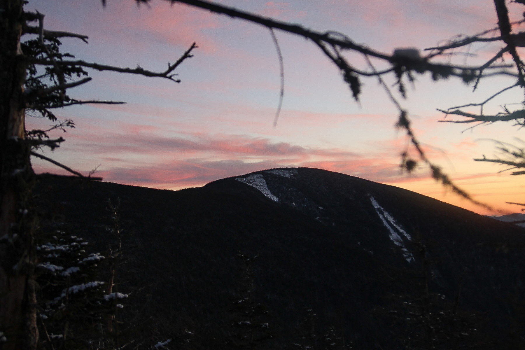 Twilight Glow Over Carter Dome
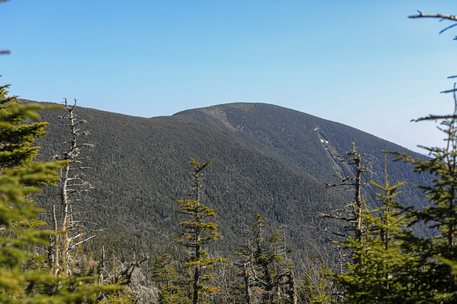
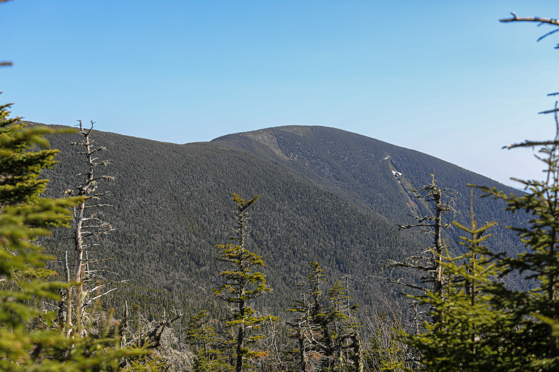 Springtime Clarity on Carter Dome
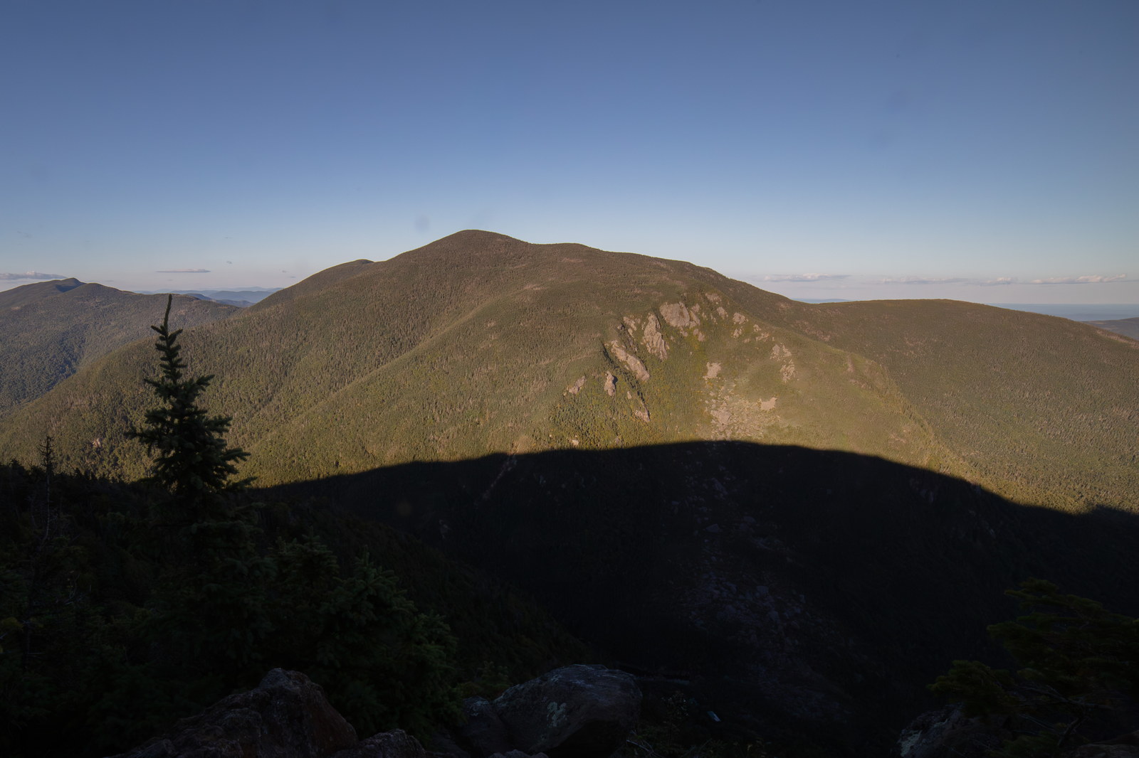
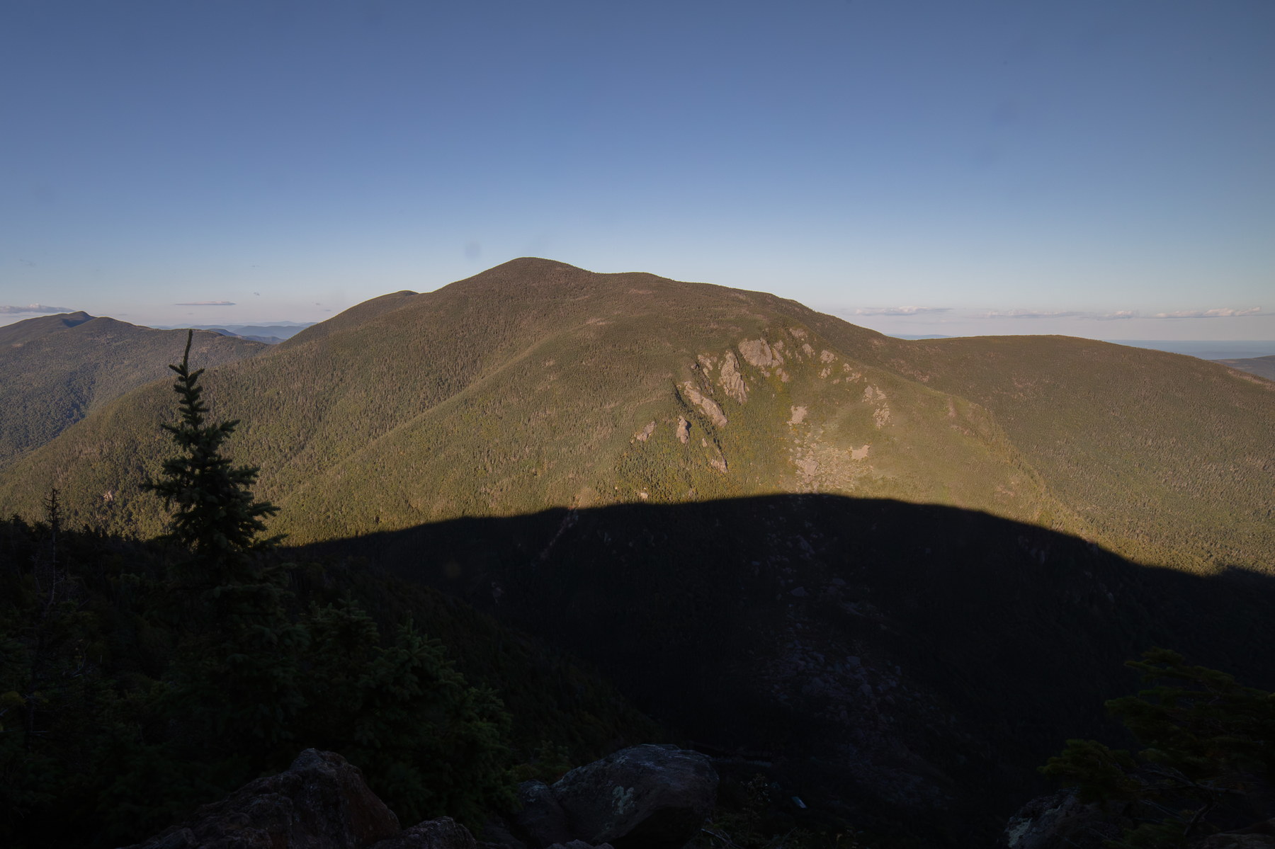 Evening Shadows Cast on Carter Dome
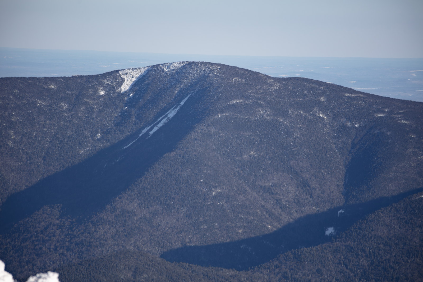
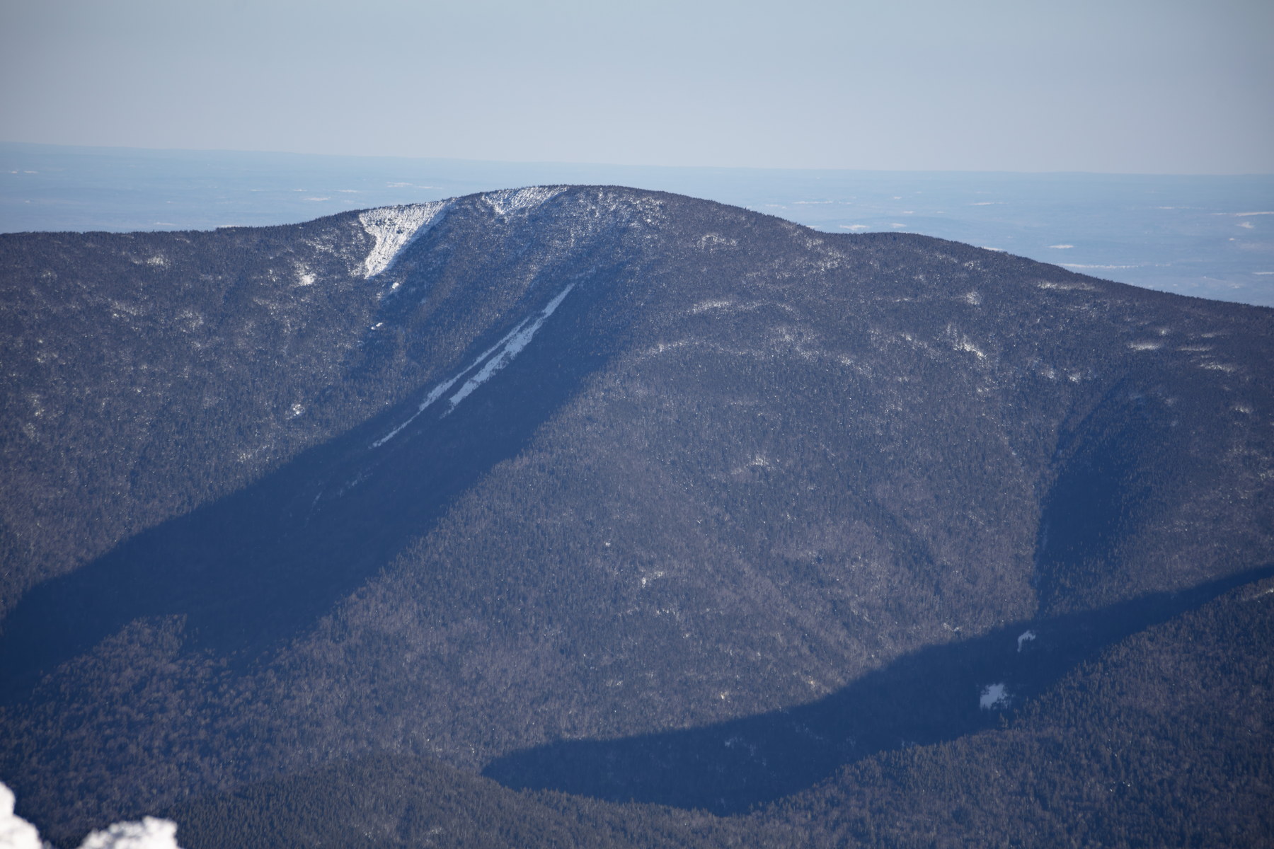 Winter Silhouettes on Carter Dome
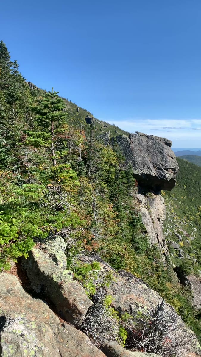 Sunlit Cliffs and Spruce Below Carter Dome
Open video page
Sunlit Cliffs and Spruce Below Carter Dome
Open video page
NH48 stylized terrain with summit marker, contours, and nearby trails.
Static map preview
Carter Dome: summit area with linked trail context.
NOAA / NWS point forecast for this summit location.
Live summit weather is temporarily unavailable. Static trip-planning guidance remains available below.
Sun and moon timing for this peak.
Astronomy timing is temporarily unavailable.
Stream context
Drainage context only, not a crossing safety decision. 2 linked water references; expand a row for sources and notes.
Route note: Yes - 19 Mile Brook alongside trail for first 1.9 miles; pond at Carter Notch near hut.
StationWild River at Gilead, Maine • 01054200
Wild River Wilderness context for east-side Moriah and Carter approach planning when remote drainages are the main concern.
Official sourceStationELLIS RIVER NEAR JACKSON, NH • 01064300
Useful Ellis River context for Glen Ellis, Wildcat, Carter Notch, and lower Pinkham approaches when drainages are running high.
Treat rising, stale, modeled, or missing readings conservatively.
Primary trailheads are linked, but no WMNF seasonal access-road dependency is currently linked to this route. This is common for state highways, AMC lots, ski-area lots, or year-round paved road access.
Verify official sources and posted signs before driving to a trailhead.