NOAA / NWS
Snapshot unavailable
Live summit weather is temporarily unavailable. Static trip-planning guidance remains available below.
Zealand Mountain (sometimes called Mount Zealand) is a 4,260-foot mountain located in Grafton County, New Hampshire.
Zealand Mountain
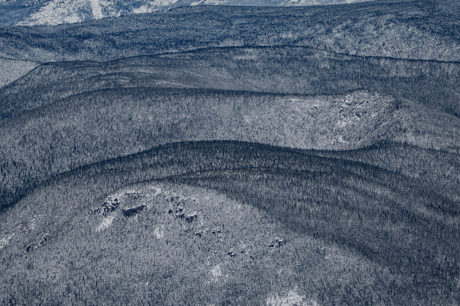
 Winter Layers on Zealand Mountain Ridge
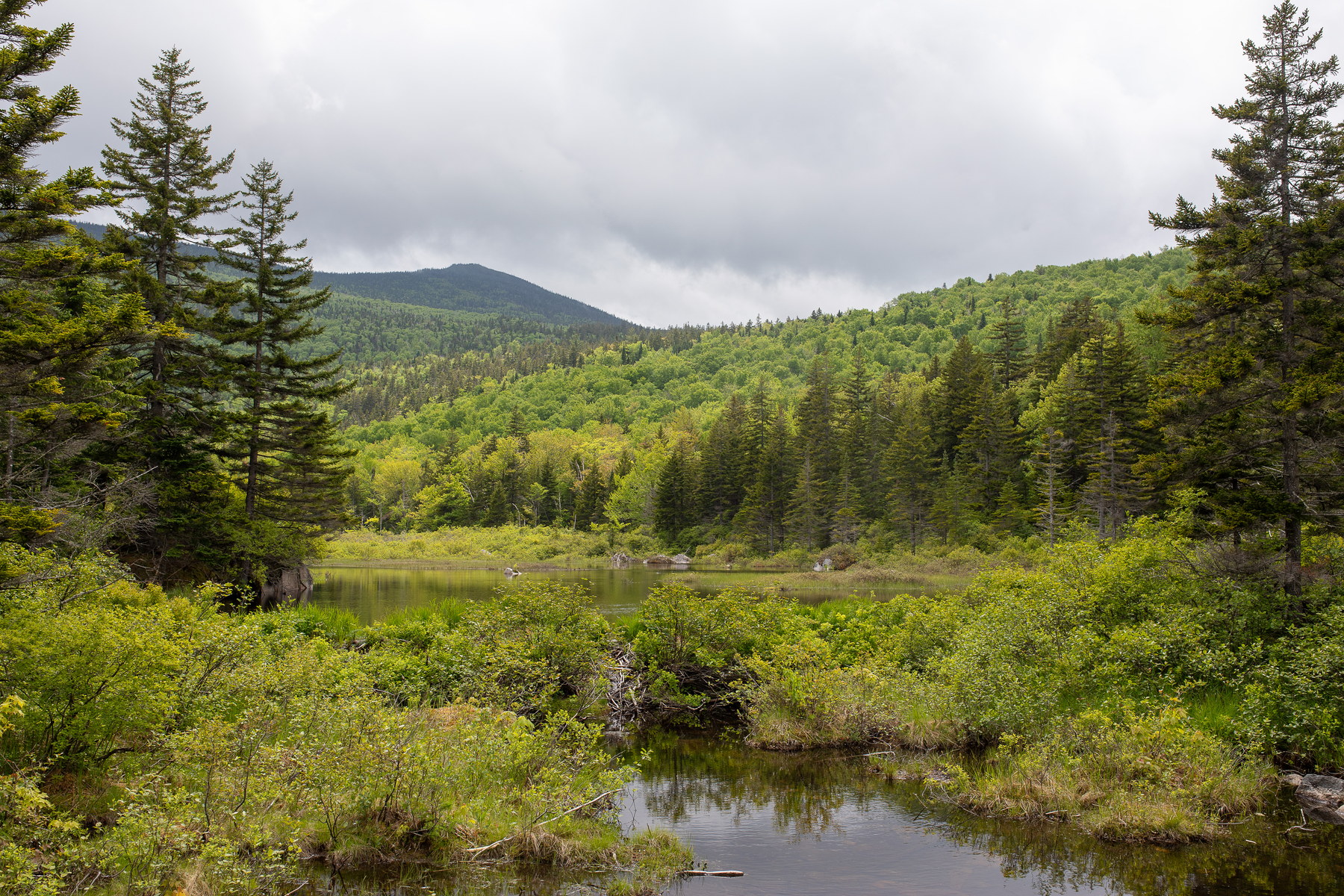 Cloud-Hung Zealand Mountain Over Serene Wetlands
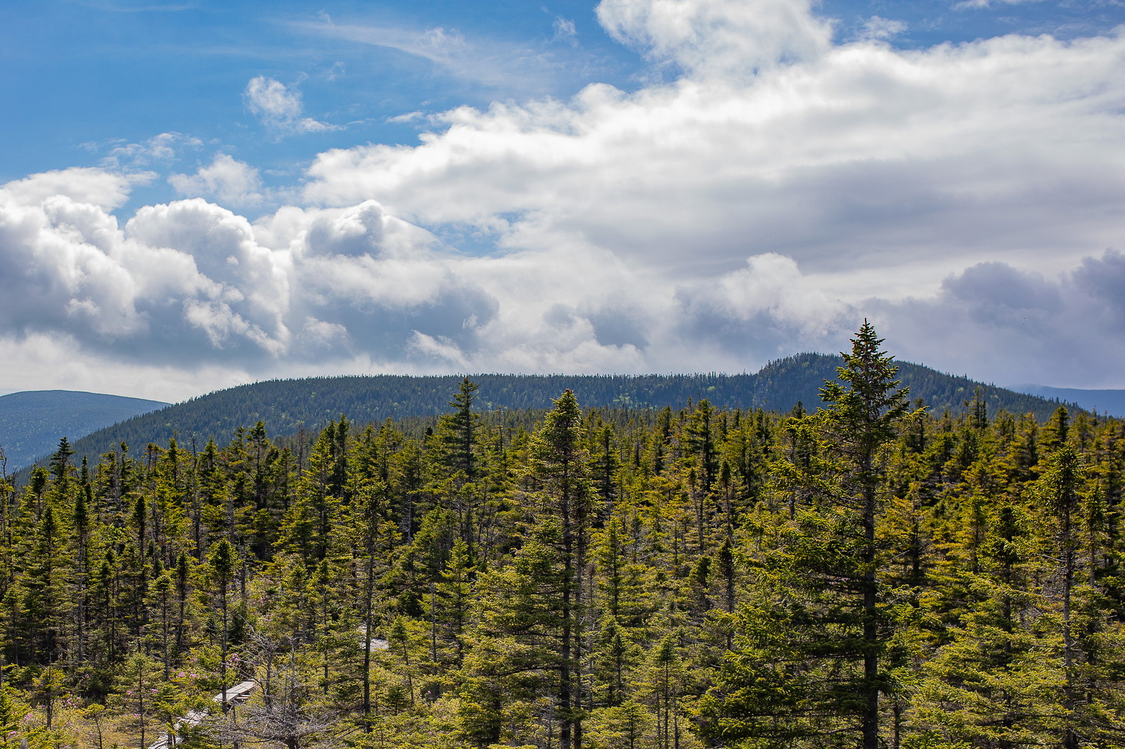
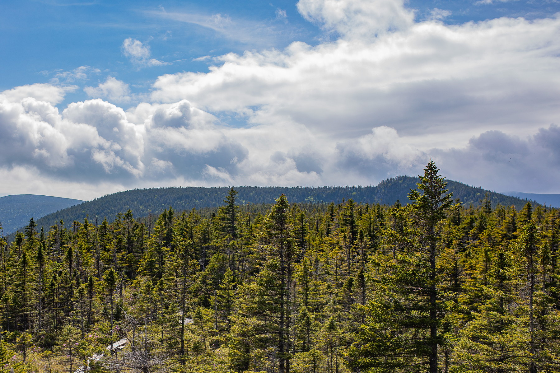 Summer Breeze over Zealand Mountain Forest
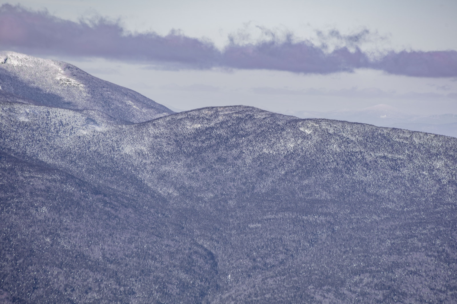
 Snow-Dusted Slopes of Zealand Mountain
NH48 stylized terrain with summit marker, contours, and nearby trails.
Static map preview
Zealand Mountain: summit area with linked trail context.
NOAA / NWS point forecast for this summit location.
Live summit weather is temporarily unavailable. Static trip-planning guidance remains available below.
Sun and moon timing for this peak.
Astronomy timing is temporarily unavailable.
Stream context
Drainage context only, not a crossing safety decision. 1 linked water reference; expand a row for sources and notes.
Route note: Yes - streams and ponds along Zealand Trail; Zealand Falls by hut.
StationZEALAND R 0.2 MI AB MOUTH, NR TWIN MOUNTAIN, NH • 01136900
Useful Zealand valley context for Hale, Zealand, Galehead, and Ethan Pond corridor crossings.
Treat rising, stale, modeled, or missing readings conservatively.
Verify official sources and posted signs before driving to a trailhead.