South Twin Mountain

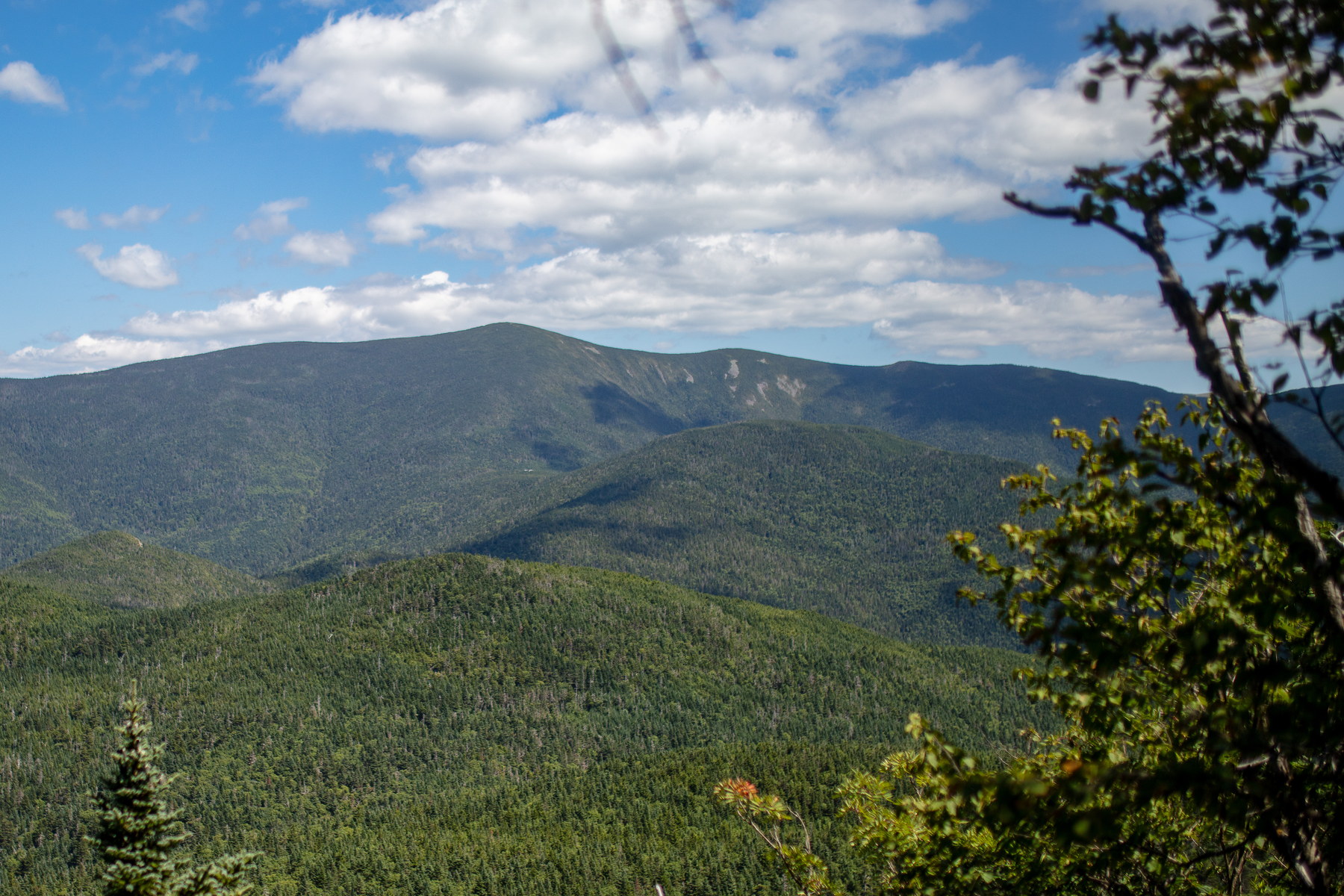
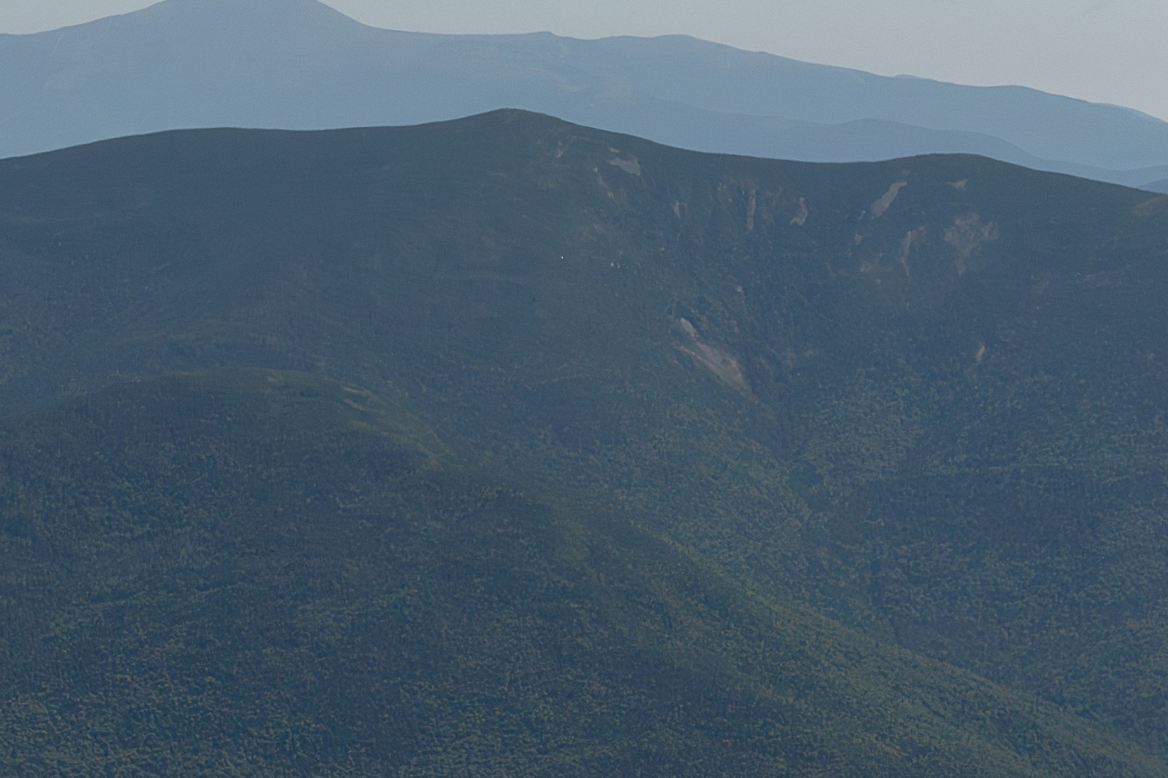
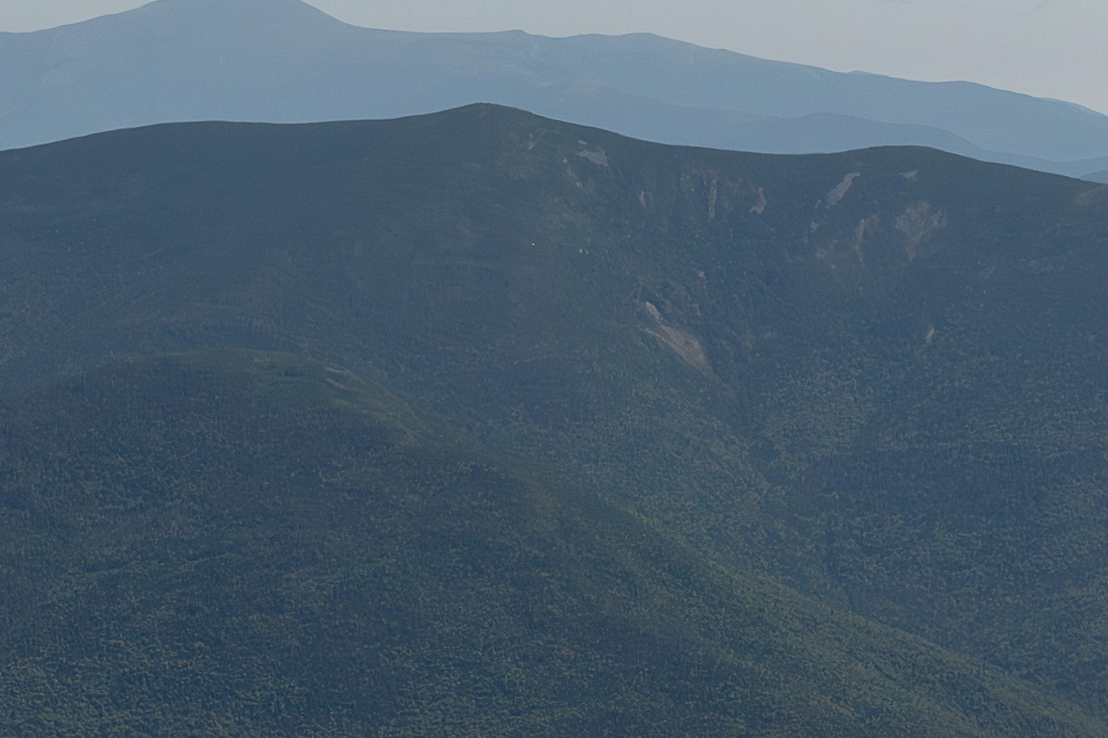
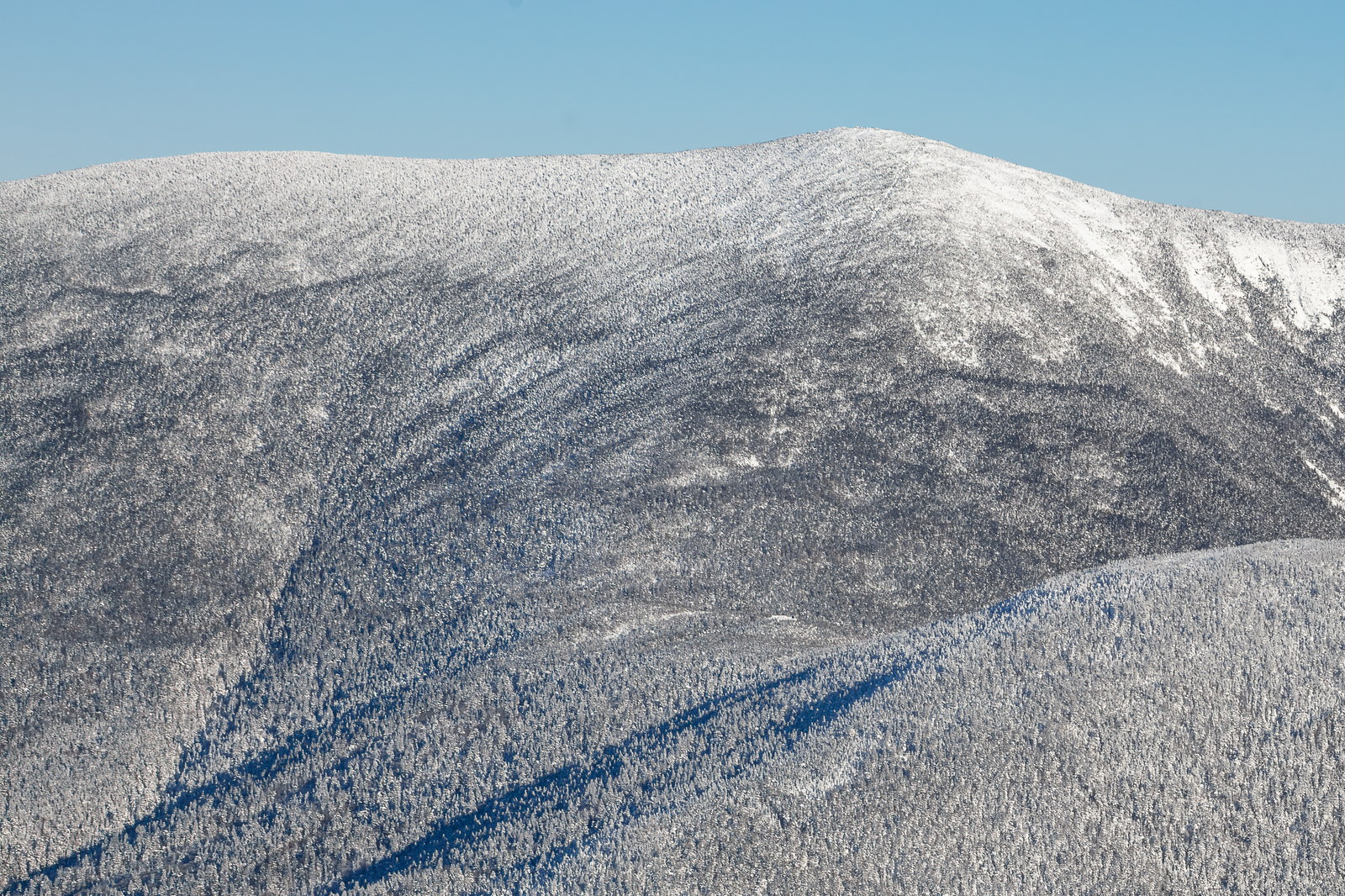
South Twin Mountain is a 4,902-foot mountain located in Grafton County, New Hampshire.

Prominence: 1522 ft Range: Twin Range
Get directions
Elevation: 4,902 ft

South Twin Mountain

Area Map

OpenStreetMap area view with summit marker and nearby trail context.

Peak trail map

Static map preview

South Twin Mountain: summit area with linked trail context.

Summit: 44.1600, -71.5542

Trails: Twinway Trail, North Twin Spur, Gale River Trail, North Twin Trail North Twin

Trails

Current Summit Weather

NOAA / NWS point forecast for this summit location.

NOAA / NWS Server snapshot pending

Static guide content is available now; the Worker injects the latest weather snapshot when the page is served.

Astronomy

Sun and moon timing for this peak.

USNO Server snapshot pending

The Worker injects the latest astronomy timing when the page is served.

Monthly Weather Averages

12-month profile

Water & Crossing Context

Stream context

Multi-source water data near routes, trailheads, and drainages associated with this peak. These readings and support layers provide runoff and crossing context, not a safe/unsafe crossing decision.

Route water note: Yes - river crossings on North Twin Trail; Galehead Hut nearby has water.

Gale River

No Current Core Data
USGS Historical

Gale River context for Garfield, Galehead, Twins, and west-side Twin Range approaches.

  • Nearby live proxy: AMMONOOSUC RIVER AT BETHLEHEM JUNCTION, NH • CONNECTICUT RIVER NEAR DALTON, NH
Official source

Observed gages, forecasts, and modeled support context provide drainage context only. They do not determine whether a specific crossing is safe. Treat rising, stale, modeled, or missing readings conservatively.

Nearby Peaks & Connections

Parking & Access

North Twin Trailhead - Haystack Road, summer only.

Access roads & trailheads

Gale River Loop Rd

Closed

Haystack Rd

Closed

Zealand Rd

Closed

Verify official sources and posted signs before driving to a trailhead.

Difficulty Metrics

Risk & Preparation

Wilderness Safety

Trail & Terrain

South Twin Mountain Route & Conditions

Route
South Twin Mountain's standard hiking options include North Twin Trail via North Twin - out & back at 11.2 miles with 3,700 feet of gain and Gale River Trail to Twinway - via Galehead Hut at 13 miles with 3,300 feet of gain. A typical completion time is 7–9 hours - out-and-back over North Twin.
Terrain and exposure
This is a difficult Twin Range hike. Expect steep, rocky final climb; lower trails gradual with typical roots and rocks. There are no major scrambling sections; expect just steep hiking; summit approach is steep but not technical. Upper-mountain terrain includes birch and maple forest low; transitioning to spruce-fir; small alpine scrub patch at summit and 360°, open summit with panoramic views. Weather and exposure are defining planning concerns here: medium, summit exposed but not a long above-treeline stretch.
Weather window
The best normal hiking window is summer, early fall, Zealand Road access for some approaches in season. Download offline maps and do not rely on cell service; leave a plan with someone.
Water, signal, and bailout
Water is available: river crossings on North Twin Trail; Galehead Hut nearby has water. Cell reception is spotty, occasionally at summit; generally weak in valleys. Bailout options include Galehead Hut shelter to escape weather and descend via Gale River Trail for faster shelter. Nearby live water context is available from Gale River.
Trailhead and access
The most common trailhead is Lincoln Woods Trailhead, with room for about 15 vehicles. Trailhead on Haystack Rd - closed in winter.; alternative winter start at end of Little River Road adds mileage. Other linked starts include Zealand Road Trailhead, Haystack Road / Galehead Trailhead, Zealand Falls Hut Access (Zealand Rd), and Haystack / Firewarden Trailhead (North Twin), and 1 more. Seasonal access-road context includes Gale River Loop Rd, Haystack Rd, and Zealand Rd.
Connected route context
Major linked trails include Twinway Trail, North Twin Spur, and Gale River Trail. Nearby 4,000-footer connections include North Twin Mountain and Galehead Mountain.

Last Updated: 2026-02-14