NOAA / NWS
Snapshot unavailable
Live summit weather is temporarily unavailable. Static trip-planning guidance remains available below.
North Twin Mountain is a 4,761-foot mountain in Grafton County, New Hampshire.
North Twin Mountain
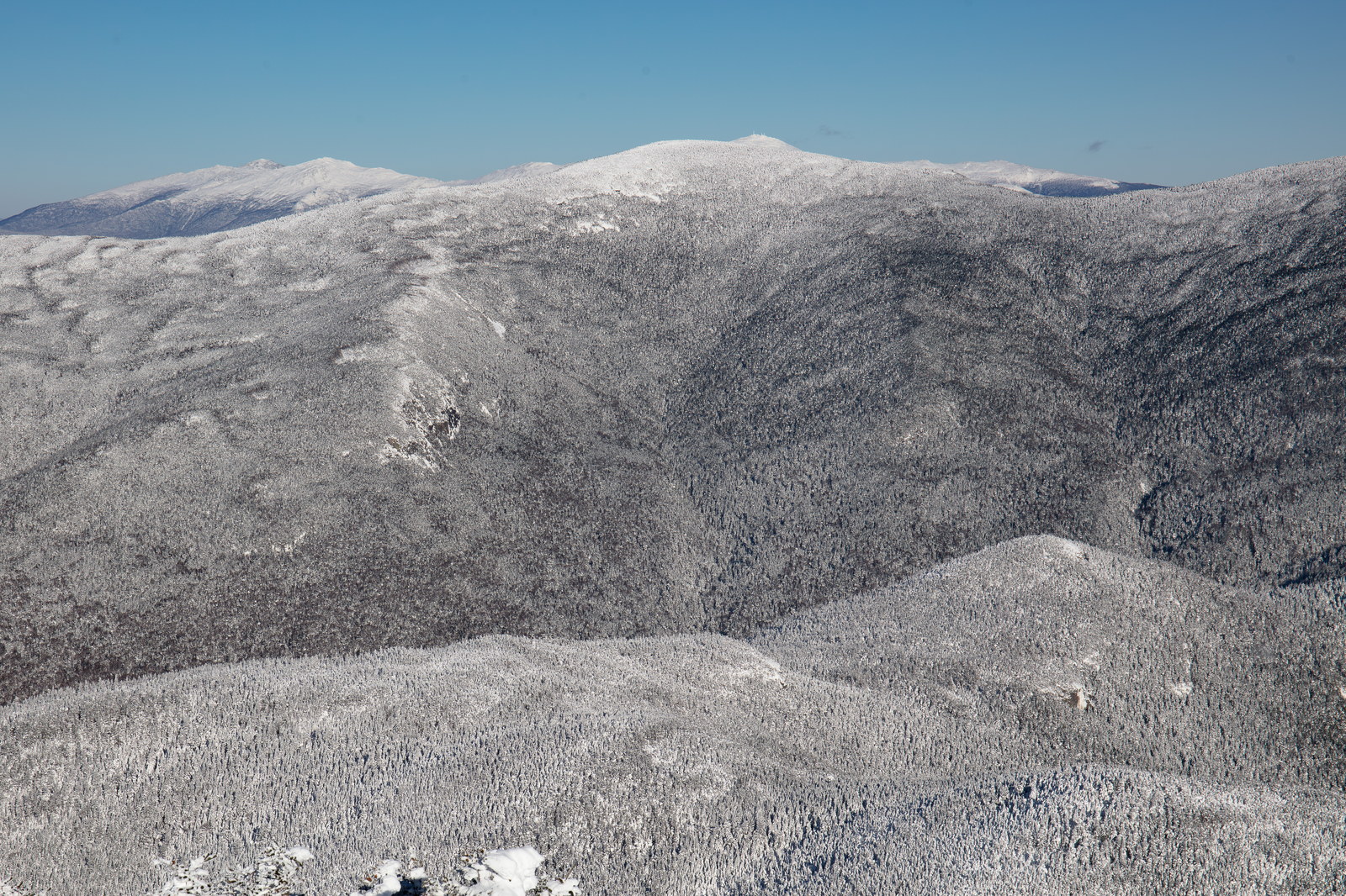
 Winter Clarity Over North Twin Mountain
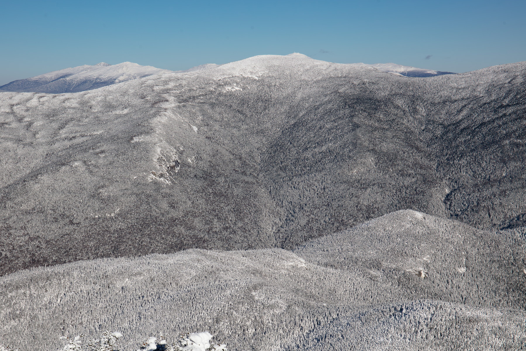
 Afternoon Shadows on North Twin Mountain
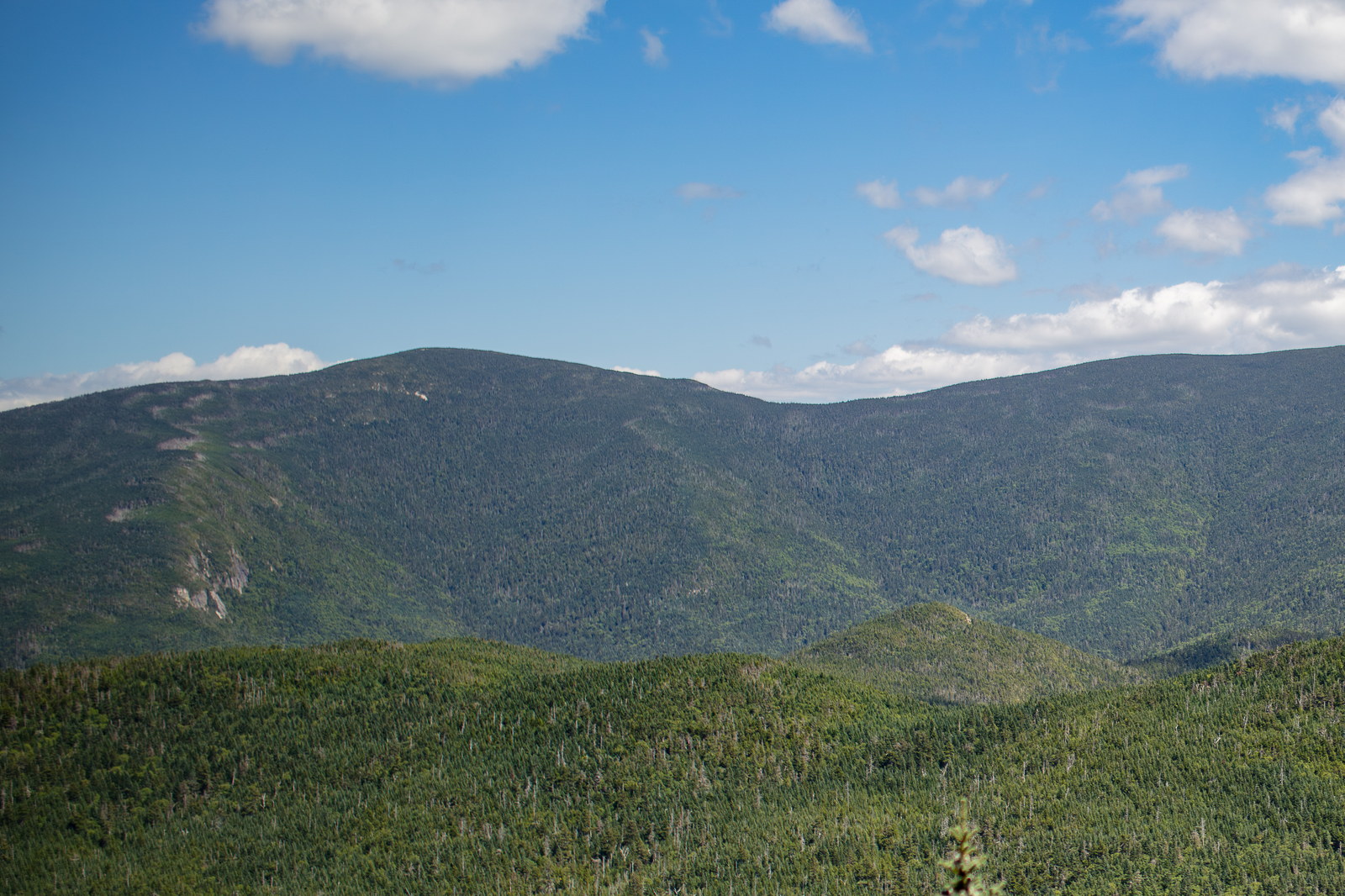
 Sunlit Forest Canopy and North Twin Mountain
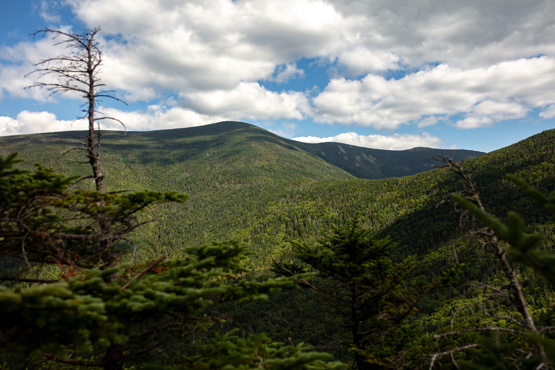
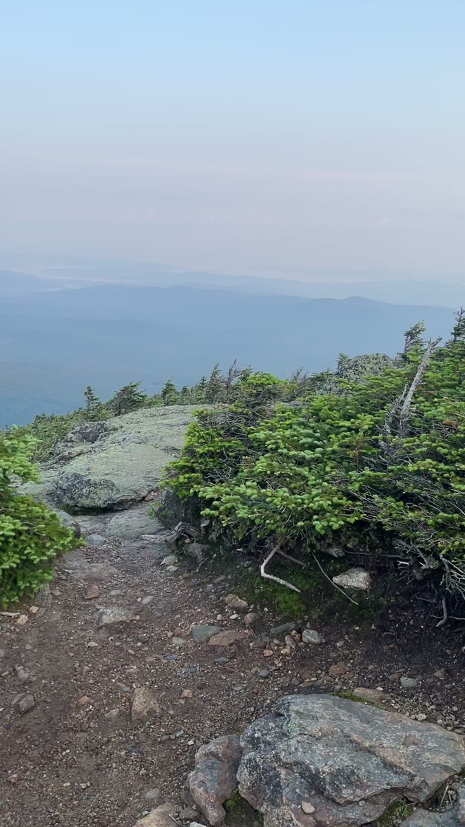 Rocky Summit Path into North Twin's Layered View
Open video page
Rocky Summit Path into North Twin's Layered View
Open video page
NH48 stylized terrain with summit marker, contours, and nearby trails.
Static map preview
North Twin Mountain: summit area with linked trail context.
NOAA / NWS point forecast for this summit location.
Live summit weather is temporarily unavailable. Static trip-planning guidance remains available below.
Sun and moon timing for this peak.
Astronomy timing is temporarily unavailable.
Stream context
Drainage context only, not a crossing safety decision. 1 linked water reference; expand a row for sources and notes.
Route note: Yes - Little River crossed multiple times in first half of trail.
StationGALE RIVER AT US 3, NEAR BETHLEHEM, NH • 01137870
Gale River context for Garfield, Galehead, Twins, and west-side Twin Range approaches.
Treat rising, stale, modeled, or missing readings conservatively.
Verify official sources and posted signs before driving to a trailhead.