NOAA / NWS
Snapshot unavailable
Live summit weather is temporarily unavailable. Static trip-planning guidance remains available below.
Mount Hale is a 4,054-foot mountain in Grafton County, New Hampshire.
Mount Hale
 Mount Hale Silhouetted at Dawn
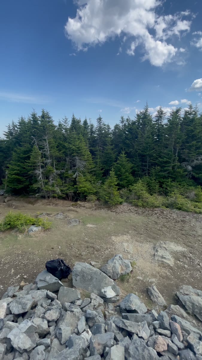 Stone Cairn and Open Clearing on Mount Hale
Open video page
Stone Cairn and Open Clearing on Mount Hale
Open video page
NH48 stylized terrain with summit marker, contours, and nearby trails.
Static map preview
Mount Hale: summit area with linked trail context.
NOAA / NWS point forecast for this summit location.
Live summit weather is temporarily unavailable. Static trip-planning guidance remains available below.
Sun and moon timing for this peak.
Astronomy timing is temporarily unavailable.
Stream context
Drainage context only, not a crossing safety decision. 3 linked water references; expand a row for sources and notes.
Route note: Yes - Hale Brook crossed twice on trail – good source, especially lower crossing.
StationZEALAND R 0.2 MI AB MOUTH, NR TWIN MOUNTAIN, NH • 01136900
Useful Zealand valley context for Hale, Zealand, Galehead, and Ethan Pond corridor crossings.
StationAMMONOOSUC RIVER AT BETHLEHEM JUNCTION, NH • 01137500
StationGALE RIVER AT US 3, NEAR BETHLEHEM, NH • 01137870
Gale River context for Garfield, Galehead, Twins, and west-side Twin Range approaches.
Treat rising, stale, modeled, or missing readings conservatively.
Verify official sources and posted signs before driving to a trailhead.
