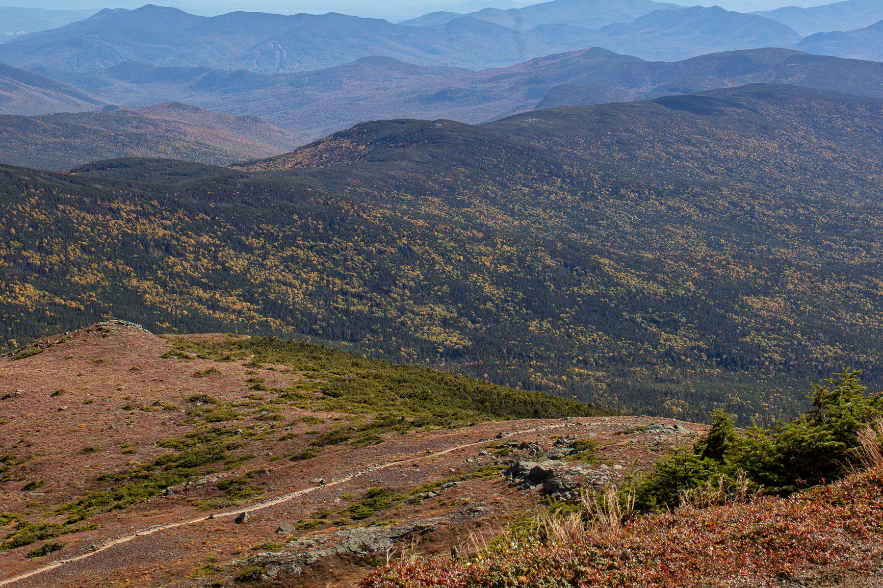
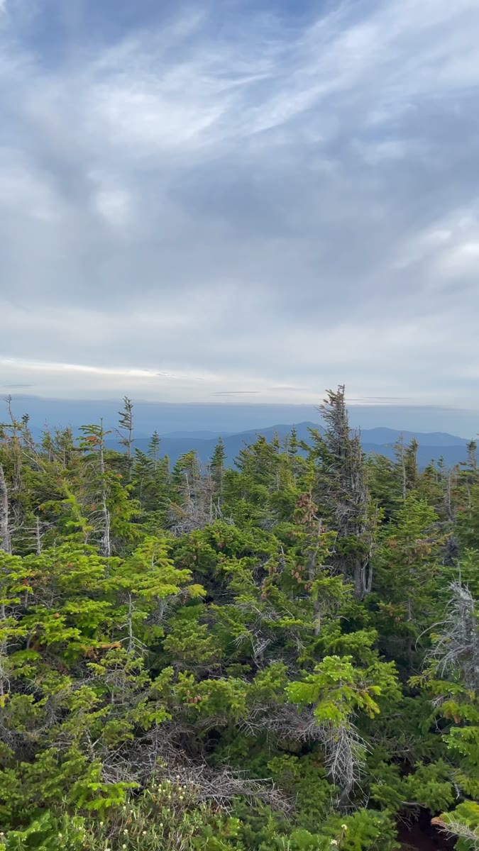
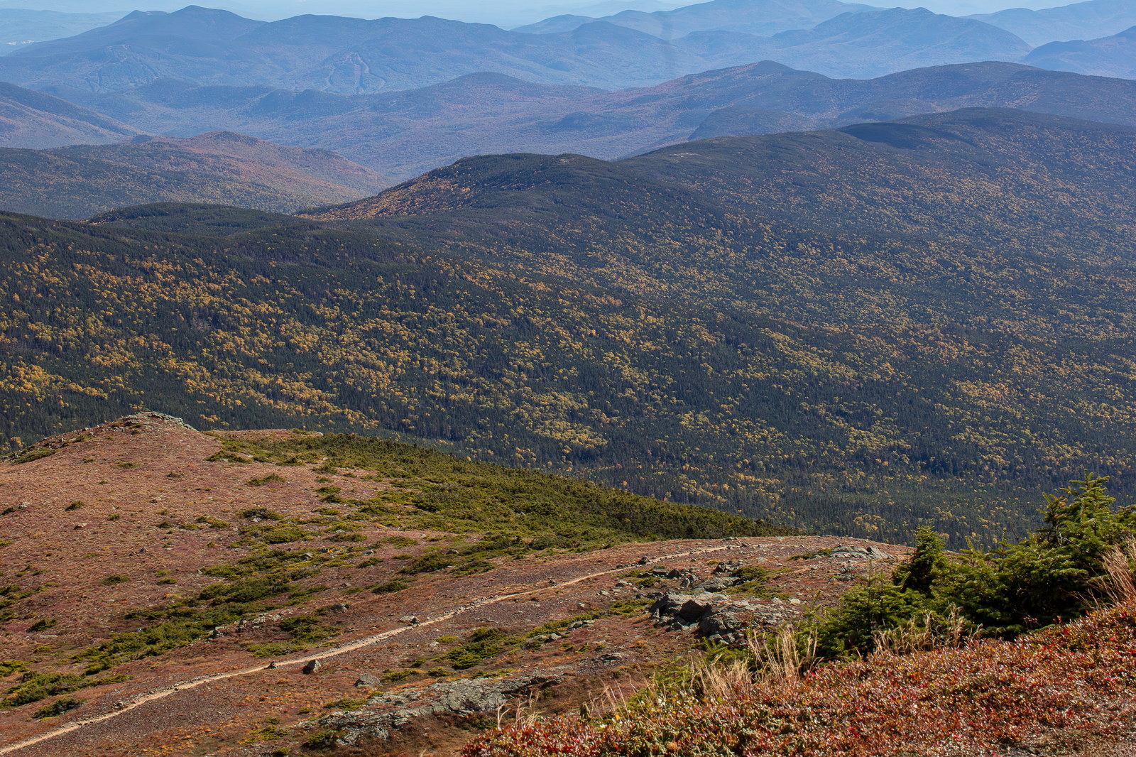
Mount Isolation is a 4,004-foot mountain in Coös County, New Hampshire. True to its name, it is one of the most isolated peaks in the White Mountains, situated in the Dry River Wilderness area at the southern end of the Presidential Range. Mount Isolation is the highest summit on the Montalban Ridge, which extends south from Mount Washington. Hiking to Mount Isolation requires a long journey (generally 12–14 miles round trip), often via Glen Boulder Trail and Davis Path or Rocky Branch Trail and Isolation Trail. The summit of Mount Isolation has an open ledge that yields outstanding views, especially of Mount Washington and the southern Presidentials to the north and of the Pemigewasset Wilderness to the west. Its remoteness and length of hike make it a challenging but rewarding peak for dedicated hikers. Mount Isolation lives up to its name: situated in the middle of the Dry River Wilderness, it is one of the most remote peaks in the Whites. It is the highest summit on the Montalban Ridge, a long spur extending south from Mount Washington. Because of its remoteness, any approach is roughly a 12 to 14 mile round-trip, making it a challenging day hike. One of the earliest trails in this area was the Davis Path, opened in 1845 by local hotelier Thomas J. Davis. Davis built this bridle path from Crawford Notch all the way to Mount Washington’s summit. On its way, the Davis Path traversed near Mount Isolation (just a short spur off the main trail). In the 19th century, tourists would take the Davis Path to Mount Washington, and a few intrepid ones bagged Isolation by this spur – thus Isolation, though remote, has been known to climbers for over 150 years. The Davis Path fell into disuse by the late 1800s but was reopened in the early 1900s by the AMC. Besides explorers and hikers, Mount Isolation has seen little human impact: no logging railroads reached its slopes (being in the Presidential Range’s shadow, the terrain was too rough), though some logging occurred in the Dry River valley to its west in the 1890s. In 1975, the area around Isolation was designated as part of the Presidential Range–Dry River Wilderness, further protecting it. There are no buildings on Isolation – never were – but an interesting artifact remained for years: on the summit ledge, hikers in the mid-20th century established a “register” (a glass jar or canister containing a notebook). Notably, legendary hiker Guy Waterman reported on the Isolation register in the 1980s as one of the most remote and thus intriguing ones (it’s since been removed per wilderness policy). Isolation’s open granite slab at the summit yields outstanding views: Mount Washington’s cone dominates the north, and the southern vista extends over the Wild River and Pemi wildernesses. Many hikers reach this peak and feel a sense of historical continuity – treading the same quiet ridge that 19th-century pathfinders did. The long miles and the mountain’s name often prompt reflections on solitude and perseverance. Mount Isolation hasn’t changed much since those early explorers set foot here, and that is precisely its charm: it’s a time capsule of wilderness in a range increasingly tamed by trails and roads.