NOAA / NWS
Snapshot unavailable
Live summit weather is temporarily unavailable. Static trip-planning guidance remains available below.
Mount Jackson is a mountain in Coös County, New Hampshire.
Mount Jackson
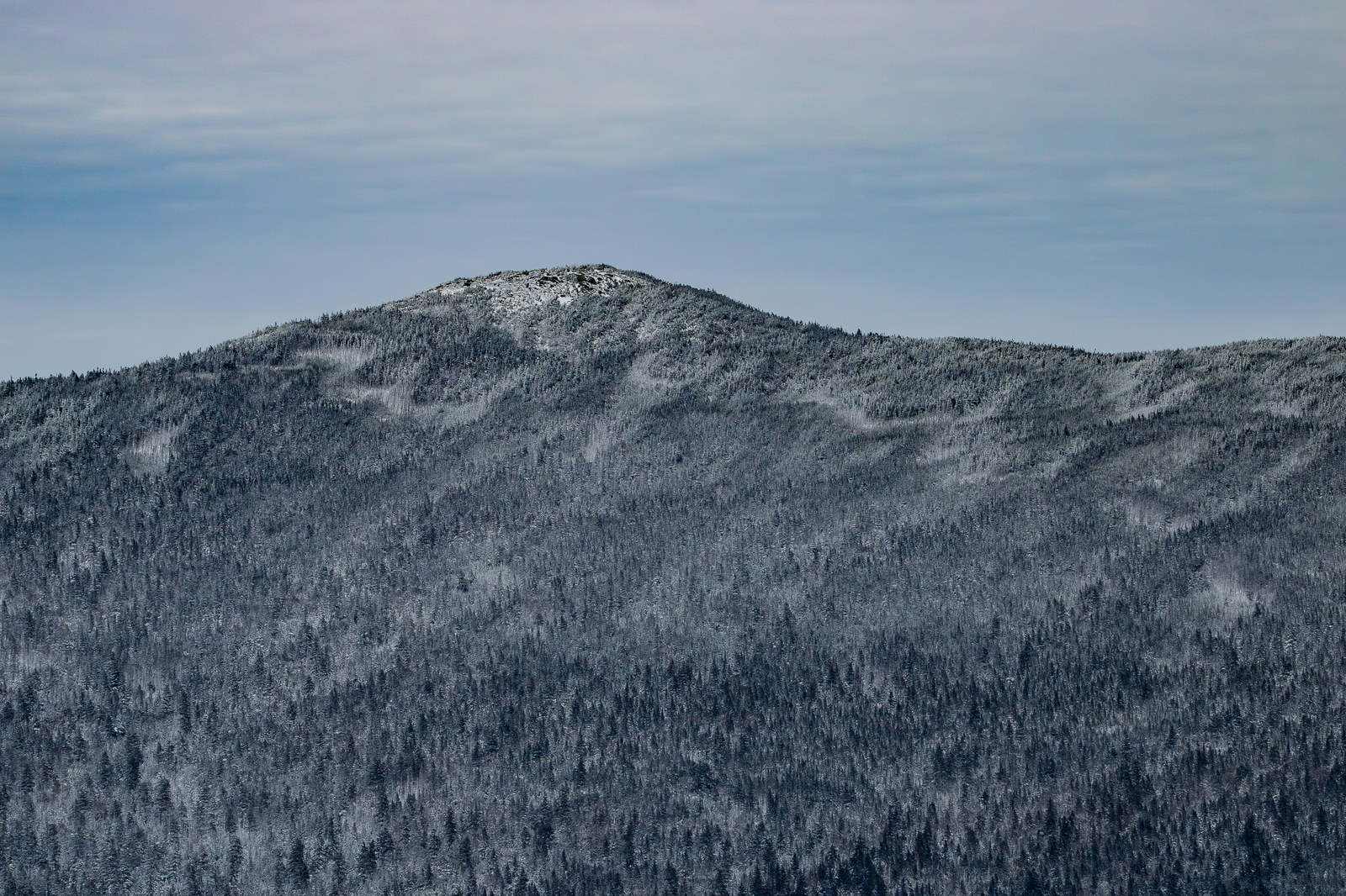
 Snow-Dusted Summit of Mount Jackson
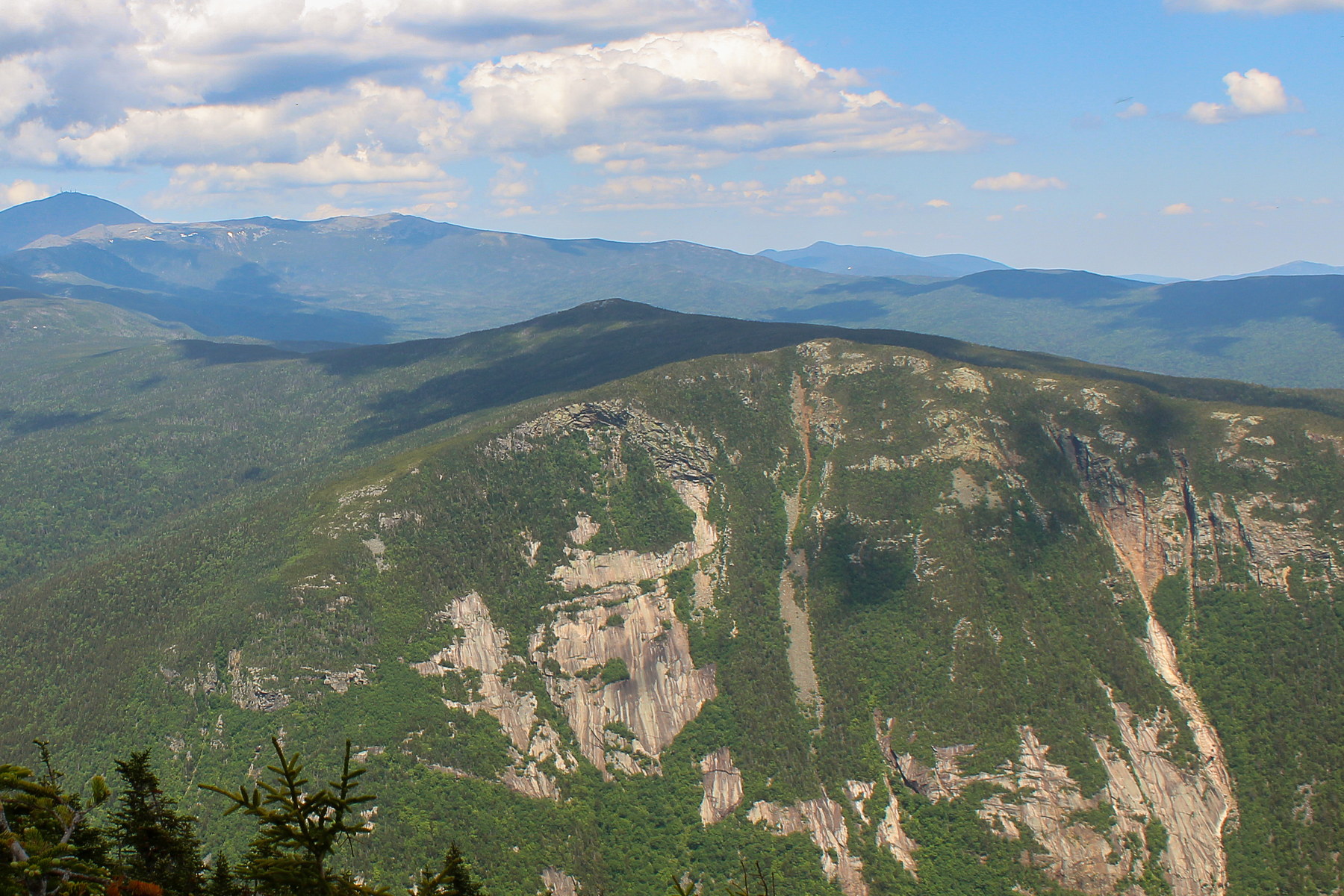 Afternoon Light on Mount Jackson's Granite Faces
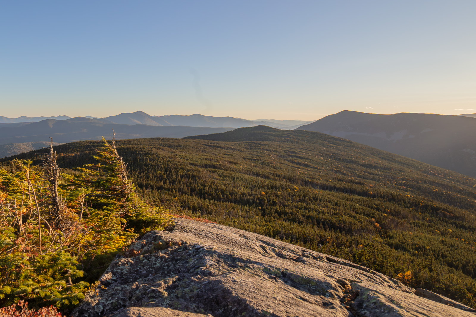
 Golden Hour Vista from Mount Jackson
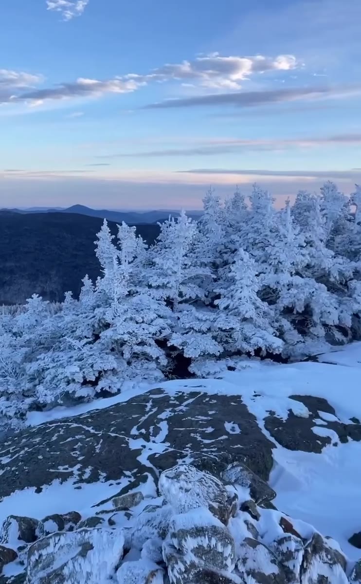
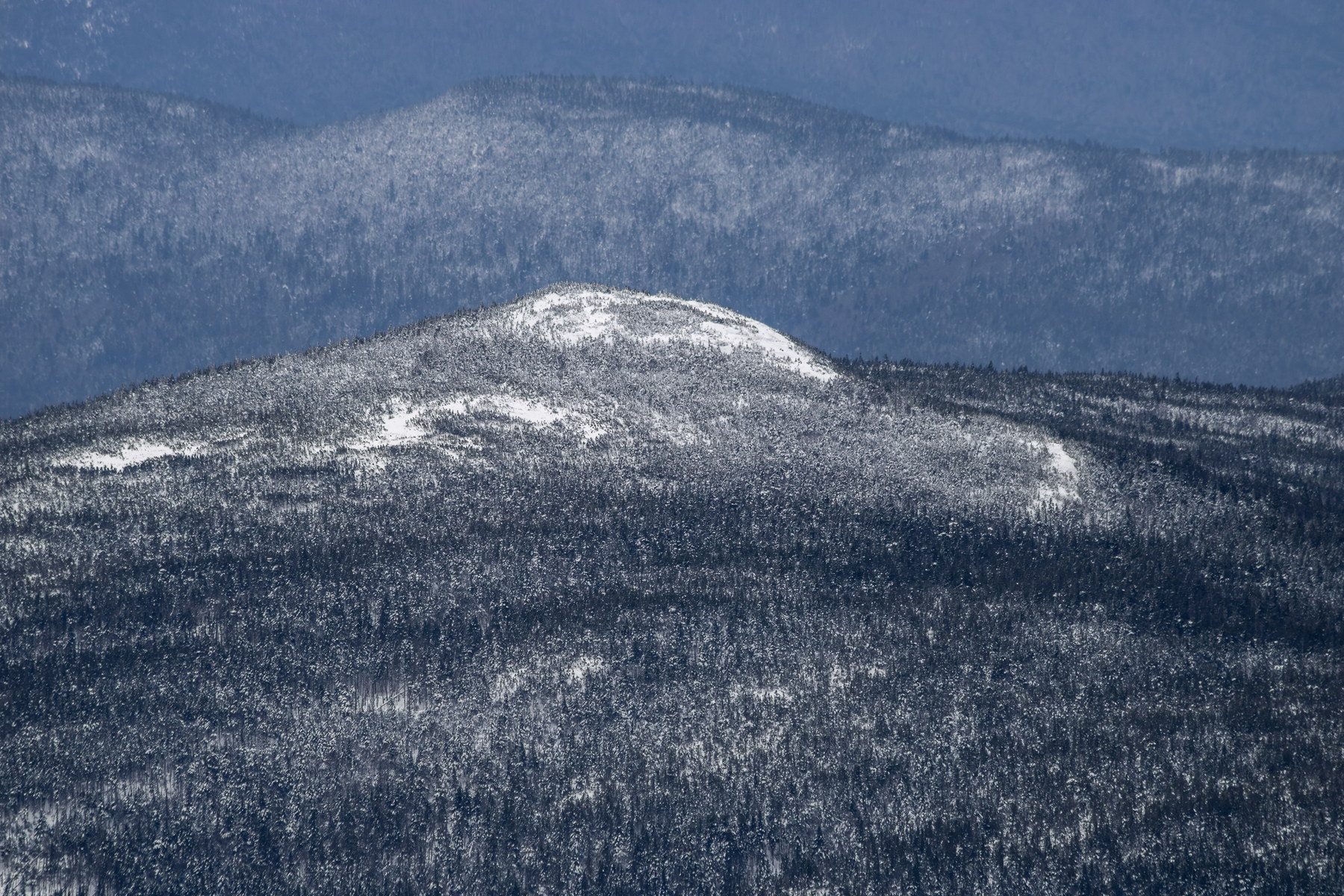 Winter Veil Over Mount Jackson
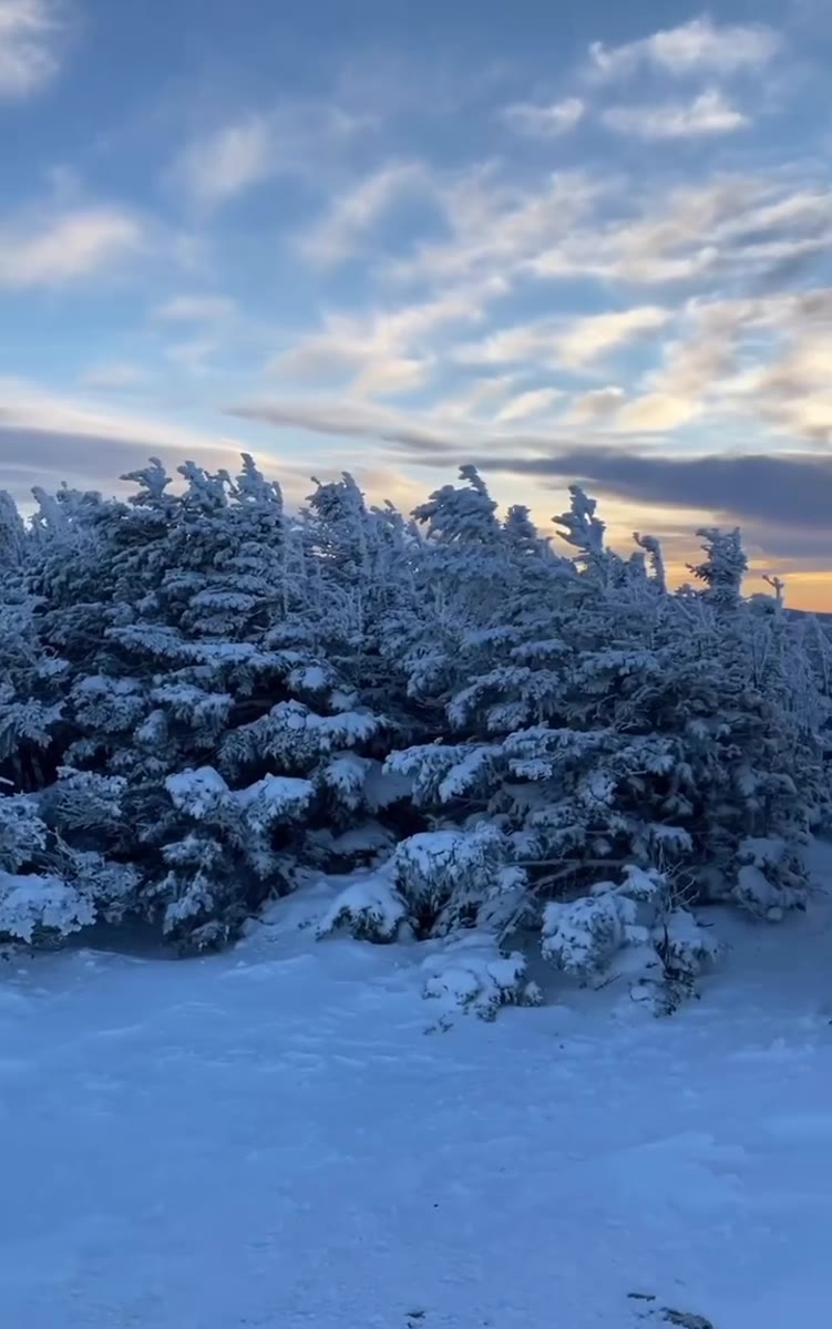 Blue-Hour Spruce and Open Slopes on Mount Jackson
Open video page
Blue-Hour Spruce and Open Slopes on Mount Jackson
Open video page
 Snow-Striped Granite at Mount Jackson Sunset
Open video page
Snow-Striped Granite at Mount Jackson Sunset
Open video page
NH48 stylized terrain with summit marker, contours, and nearby trails.
Static map preview
Mount Jackson: summit area with linked trail context.
NOAA / NWS point forecast for this summit location.
Live summit weather is temporarily unavailable. Static trip-planning guidance remains available below.
Sun and moon timing for this peak.
Astronomy timing is temporarily unavailable.
Stream context
Drainage context only, not a crossing safety decision. 1 linked water reference; expand a row for sources and notes.
Route note: Limited - Silver Cascade Brook near trail beginning; after that, mostly dry ridge.
StationSACO RIVER AT RIVER STREET, AT BARTLETT, NH • 010642505
Broad Bartlett valley context for Sawyer River, Rocky Branch, and Kanc-side access days after heavy rain.
Treat rising, stale, modeled, or missing readings conservatively.
Primary trailheads are linked, but no WMNF seasonal access-road dependency is currently linked to this route. This is common for state highways, AMC lots, ski-area lots, or year-round paved road access.
Verify official sources and posted signs before driving to a trailhead.