NOAA / NWS
Snapshot unavailable
Live summit weather is temporarily unavailable. Static trip-planning guidance remains available below.
Mount Pierce is a 4,310-foot mountain in the Presidential Range of the White Mountains, located in Coös County, New Hampshire.
Mount Pierce
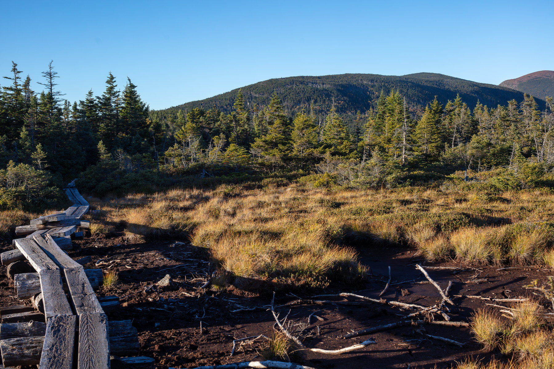 Golden Marsh Trail to Mount Pierce
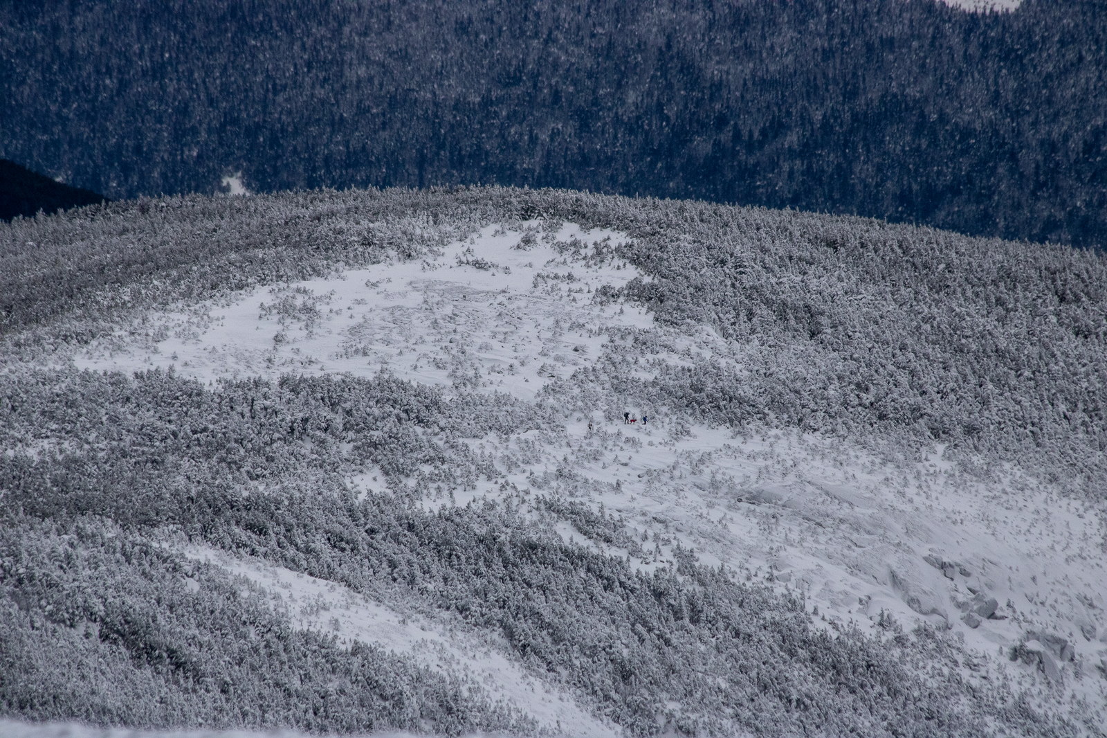
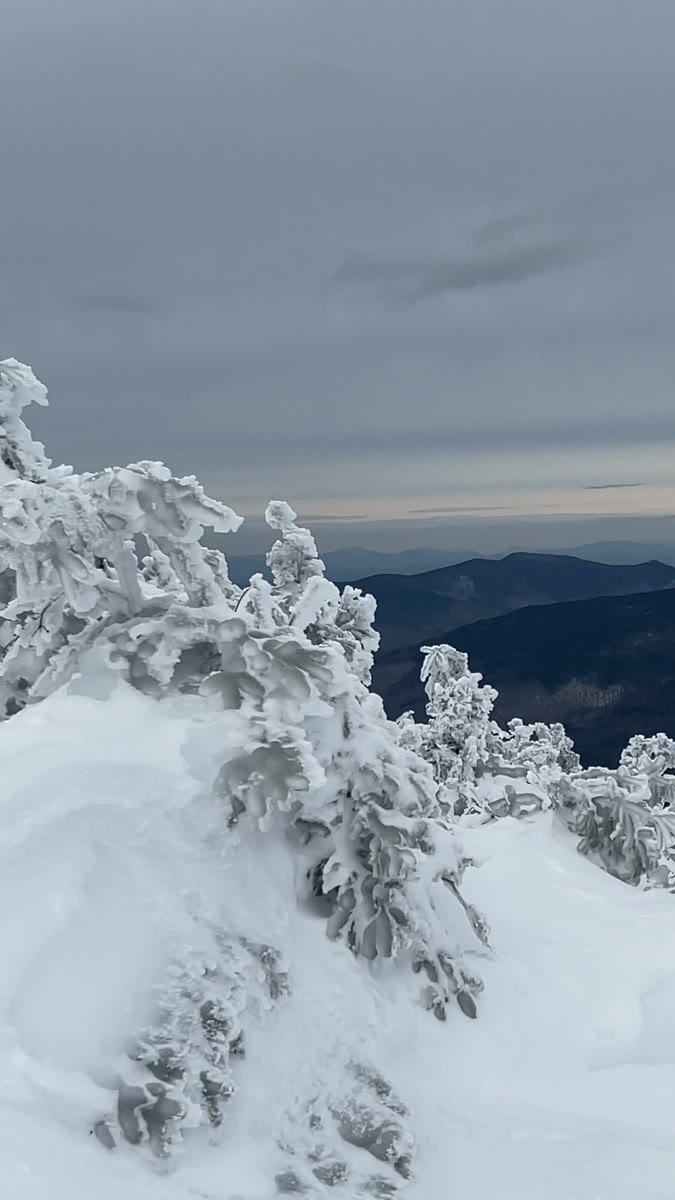
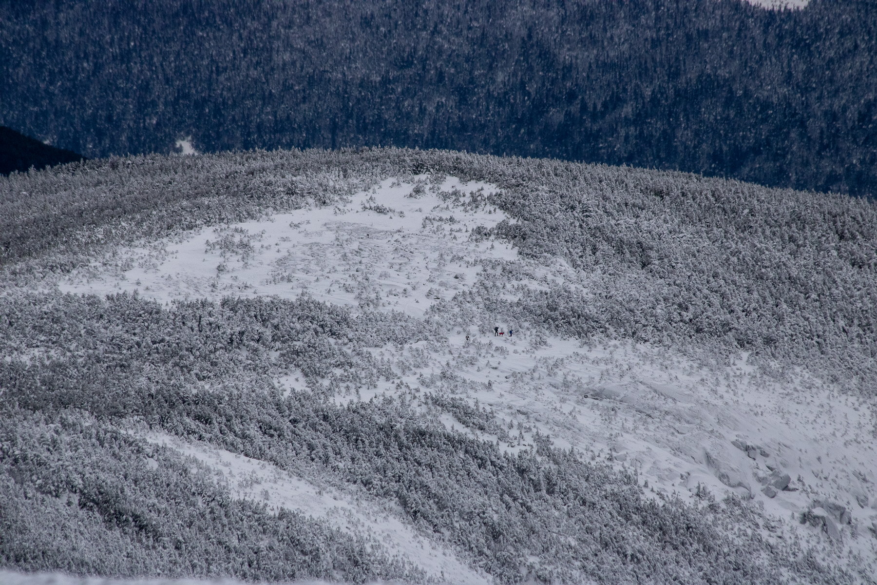 Winter Ascent on Mount Pierce Ridge
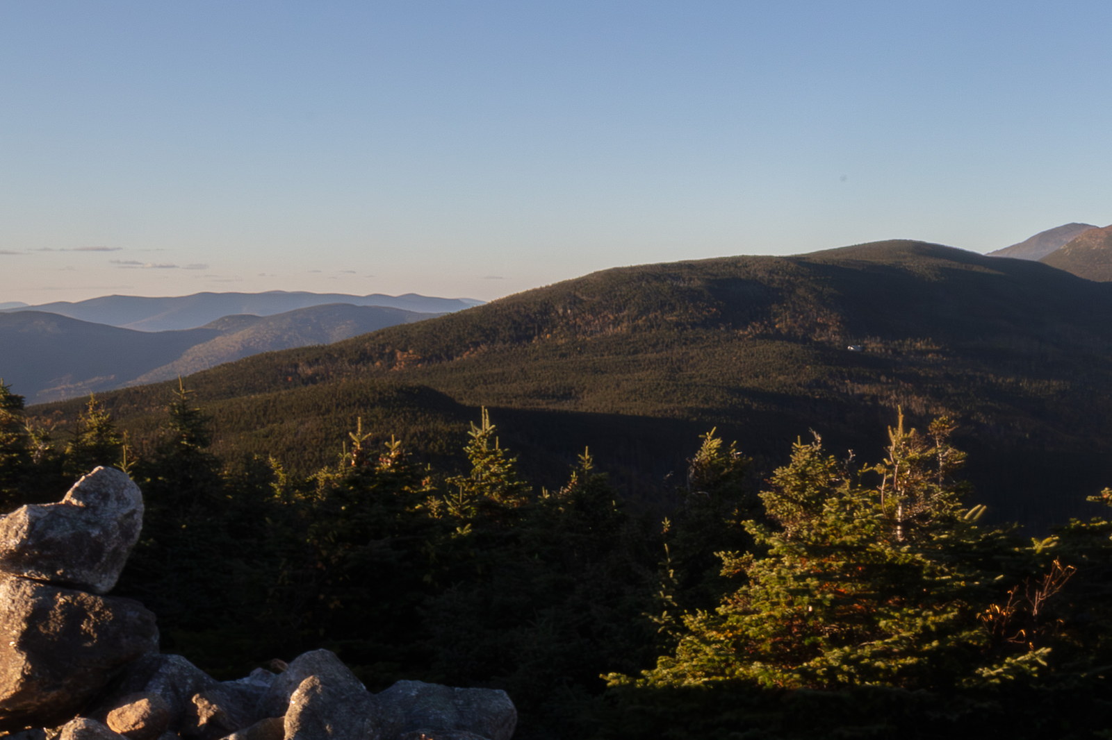
 Sunset Glow on Mount Pierce Ridge
 Mount Pierce summit video
OpenStreetMap area view with summit marker and nearby trail context.
Static map preview
Mount Pierce: summit area with linked trail context.
NOAA / NWS point forecast for this summit location.
Live summit weather is temporarily unavailable. Static trip-planning guidance remains available below.
Sun and moon timing for this peak.
Astronomy timing is temporarily unavailable.
Stream context
Drainage context only, not a crossing safety decision. 1 linked water reference; expand a row for sources and notes.
Route note: Yes - Gibbs Brook near start; seasonal small streams partway up Crawford Path; reliable water at Mizpah Spring Hut on Webster Cliff route.
StationAMMONOOSUC R @ BRETTON WOODS, NR TWIN MOUNTAIN, NH • 01136500
Ammonoosuc west-side context for the Presidential Range, Crawford Notch, and Bretton Woods approaches.
Treat rising, stale, modeled, or missing readings conservatively.
Maintained by NHDOT - NOT maintained for winter travel
Verify official sources and posted signs before driving to a trailhead.