NOAA / NWS
Snapshot unavailable
Live summit weather is temporarily unavailable. Static trip-planning guidance remains available below.
Mount Passaconaway is a 4,043-foot mountain in the Sandwich Range, located in Grafton County (town of Waterville Valley), New Hampshire.
Mount Passaconaway
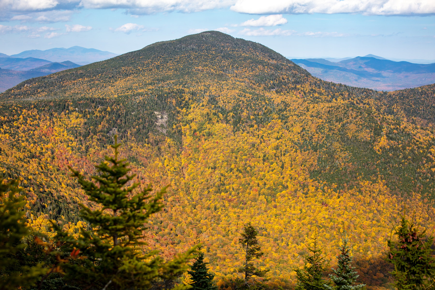 Golden Canopy on Mount Passaconaway
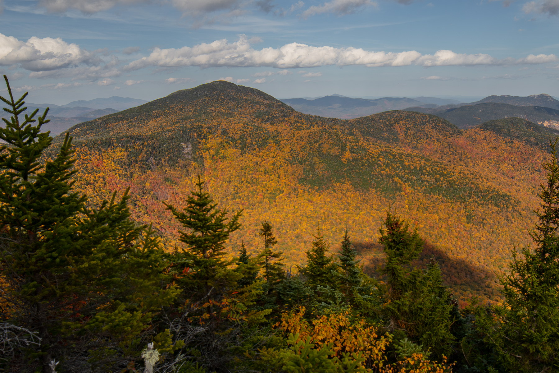 Afternoon Light on Mount Passaconaway Ridge
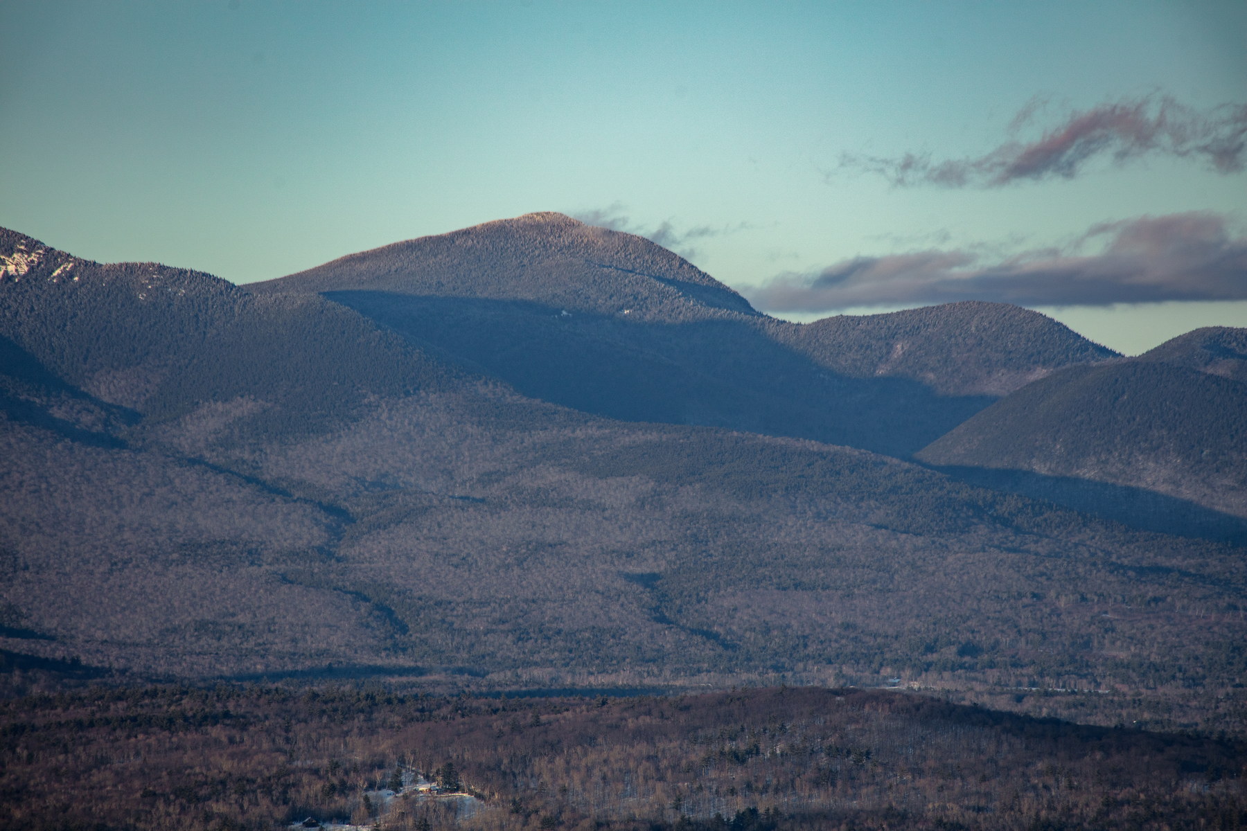 Winter Shadows on Mount Passaconaway
NH48 stylized terrain with summit marker, contours, and nearby trails.
Static map preview
Mount Passaconaway: summit area with linked trail context.
NOAA / NWS point forecast for this summit location.
Live summit weather is temporarily unavailable. Static trip-planning guidance remains available below.
Sun and moon timing for this peak.
Astronomy timing is temporarily unavailable.
Stream context
Drainage context only, not a crossing safety decision. 5 linked water references; expand a row for sources and notes.
Route note: Yes - Wonalancet River at Dicey’s Mill crossing ~1.7 mi in; small brook on lower Blueberry Ledge; none high up.
StationBEARCAMP RIVER AT SOUTH TAMWORTH, NH • 01064801
StationCOLD RIVER AT NH 113 BRIDGE NEAR N SANDWICH, NH • 01064795
Useful lower-valley Cold River signal for Sandwich Range trailheads and north Sandwich approach roads after storms.
StationSWIFT RIVER 0.5 MI BL HOBBS BR, NR CONWAY, NH • 01064485
Swift River context for Kancamagus crossings and Sandwich / Passaconaway approach planning.
StationSACO RIVER AT RIVER STREET, AT BARTLETT, NH • 010642505
Broad Bartlett valley context for Sawyer River, Rocky Branch, and Kanc-side access days after heavy rain.
StationSaco River near Conway, NH • 01064500
Treat rising, stale, modeled, or missing readings conservatively.
Primary trailheads are linked, but no WMNF seasonal access-road dependency is currently linked to this route. This is common for state highways, AMC lots, ski-area lots, or year-round paved road access.
Verify official sources and posted signs before driving to a trailhead.


