NOAA / NWS
Snapshot unavailable
Live summit weather is temporarily unavailable. Static trip-planning guidance remains available below.
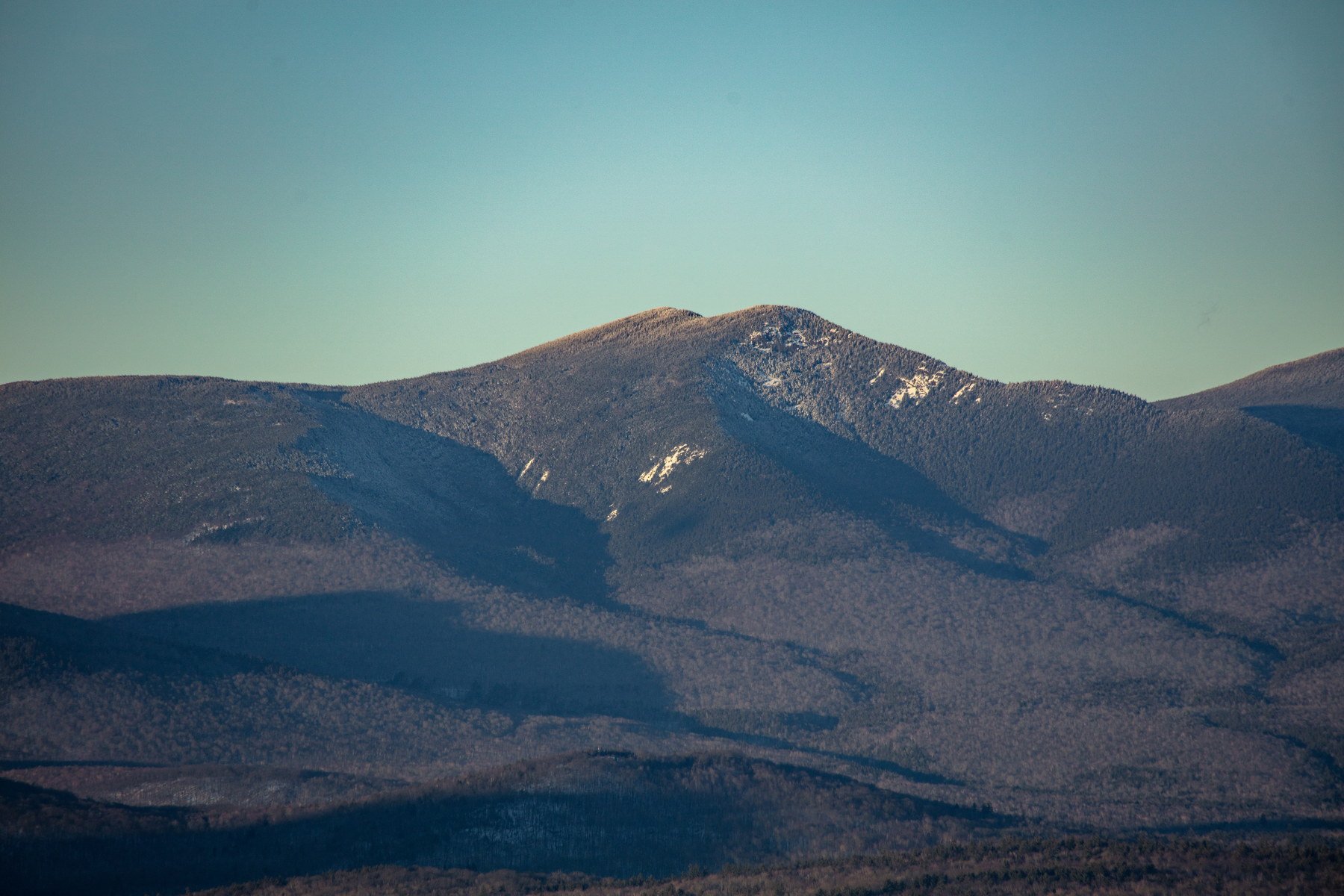
Mount Whiteface is a 4,020-foot mountain in the Sandwich Range of the White Mountains, straddling the border of Grafton and Carroll counties in New Hampshire.
Mount Whiteface
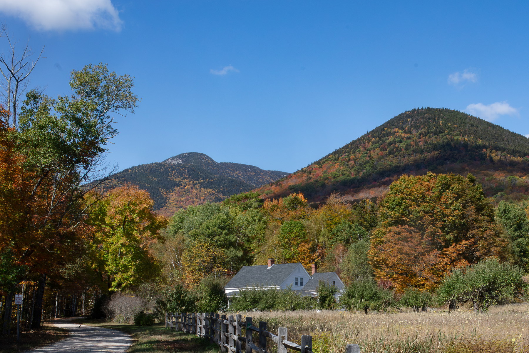 Autumn Morning Near Mount Whiteface
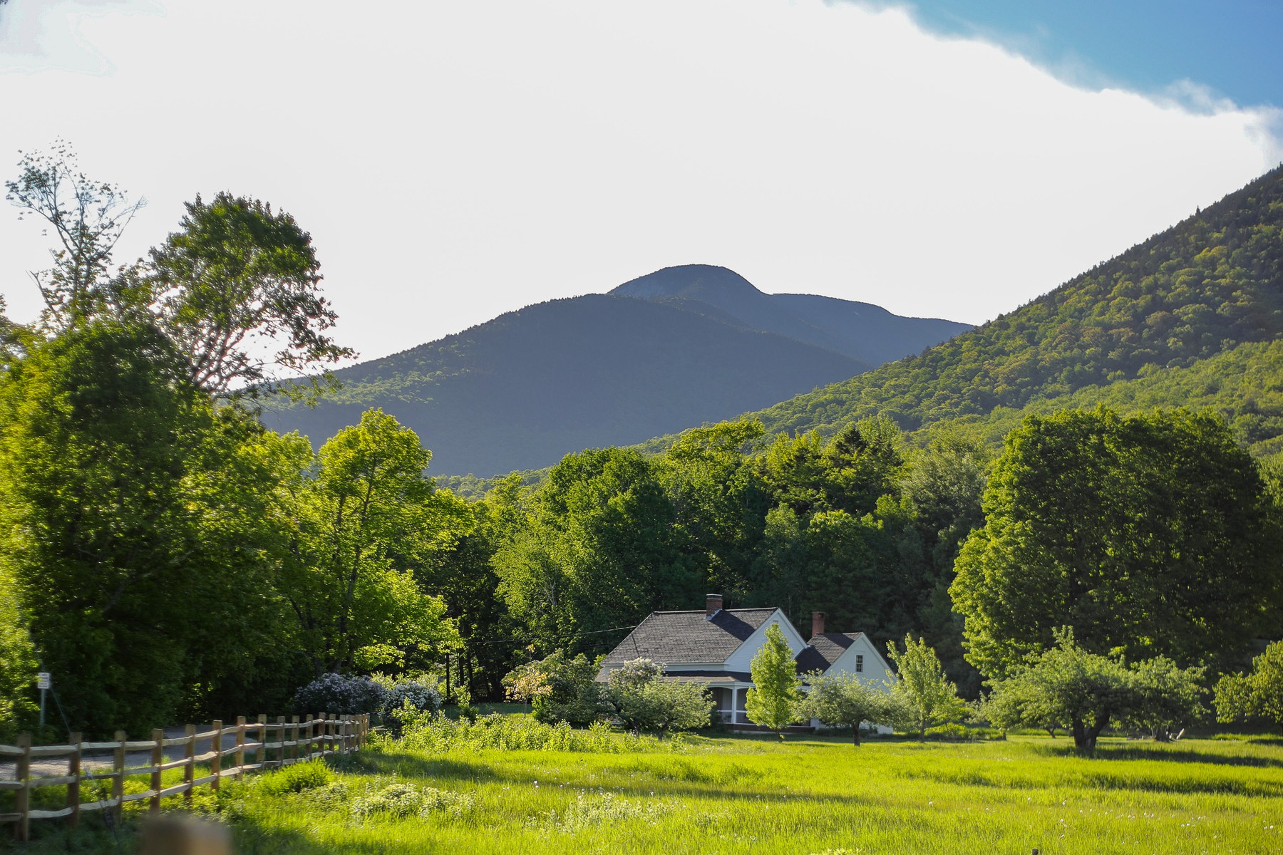 Spring Evening Glow on Mount Whiteface
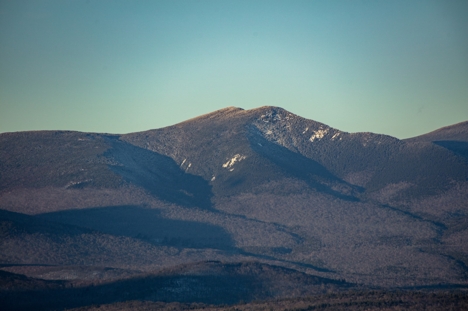
 Late Afternoon Shadows on Mount Whiteface
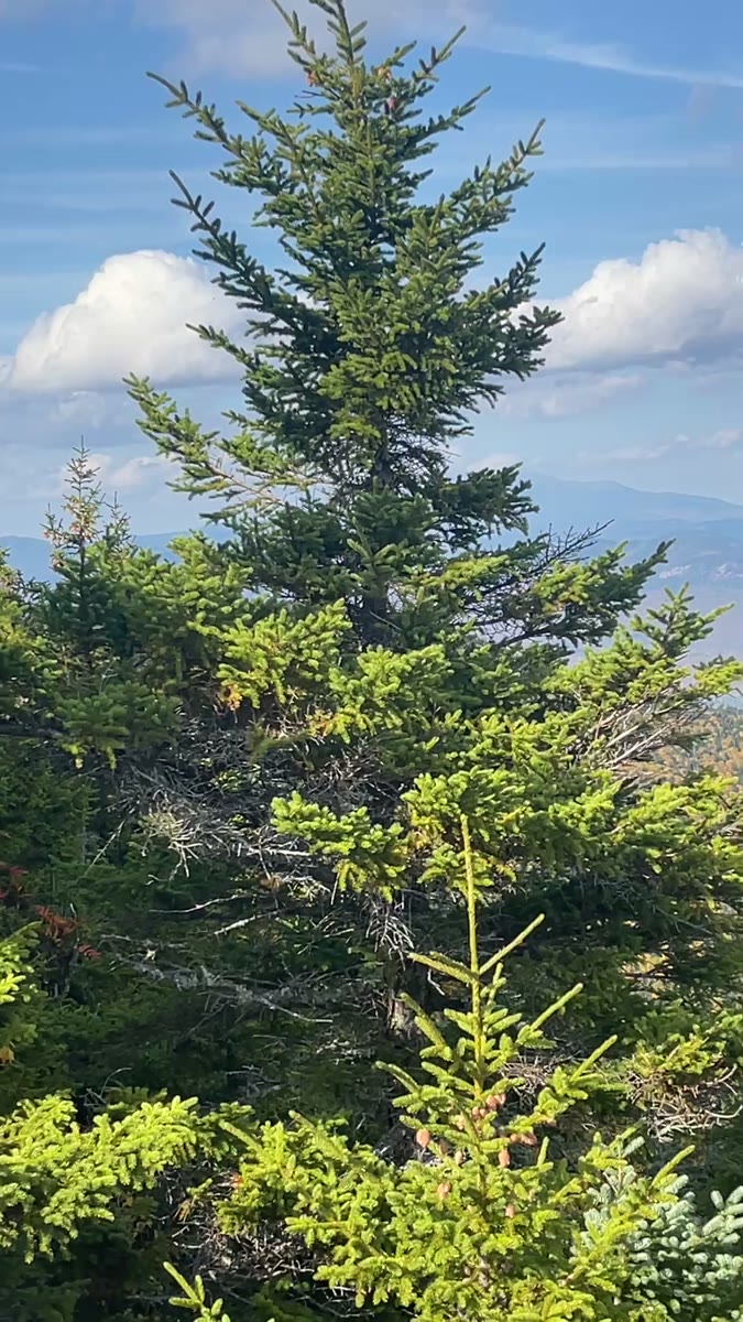 Summit Fir Opening onto Mount Whiteface's Autumn Valley
Open video page
Summit Fir Opening onto Mount Whiteface's Autumn Valley
Open video page
NH48 stylized terrain with summit marker, contours, and nearby trails.
Static map preview
Mount Whiteface: summit area with linked trail context.
NOAA / NWS point forecast for this summit location.
Live summit weather is temporarily unavailable. Static trip-planning guidance remains available below.
Sun and moon timing for this peak.
Astronomy timing is temporarily unavailable.
Stream context
Drainage context only, not a crossing safety decision. 4 linked water references; expand a row for sources and notes.
Route note: Limited - small brook near start of Blueberry Ledge Trail; none on ridge or upper mountain.
StationBEARCAMP RIVER AT SOUTH TAMWORTH, NH • 01064801
StationCOLD RIVER AT NH 113 BRIDGE NEAR N SANDWICH, NH • 01064795
Useful lower-valley Cold River signal for Sandwich Range trailheads and north Sandwich approach roads after storms.
StationSWIFT RIVER 0.5 MI BL HOBBS BR, NR CONWAY, NH • 01064485
Swift River context for Kancamagus crossings and Sandwich / Passaconaway approach planning.
StationSaco River near Conway, NH • 01064500
Treat rising, stale, modeled, or missing readings conservatively.
Primary trailheads are linked, but no WMNF seasonal access-road dependency is currently linked to this route. This is common for state highways, AMC lots, ski-area lots, or year-round paved road access.
Verify official sources and posted signs before driving to a trailhead.