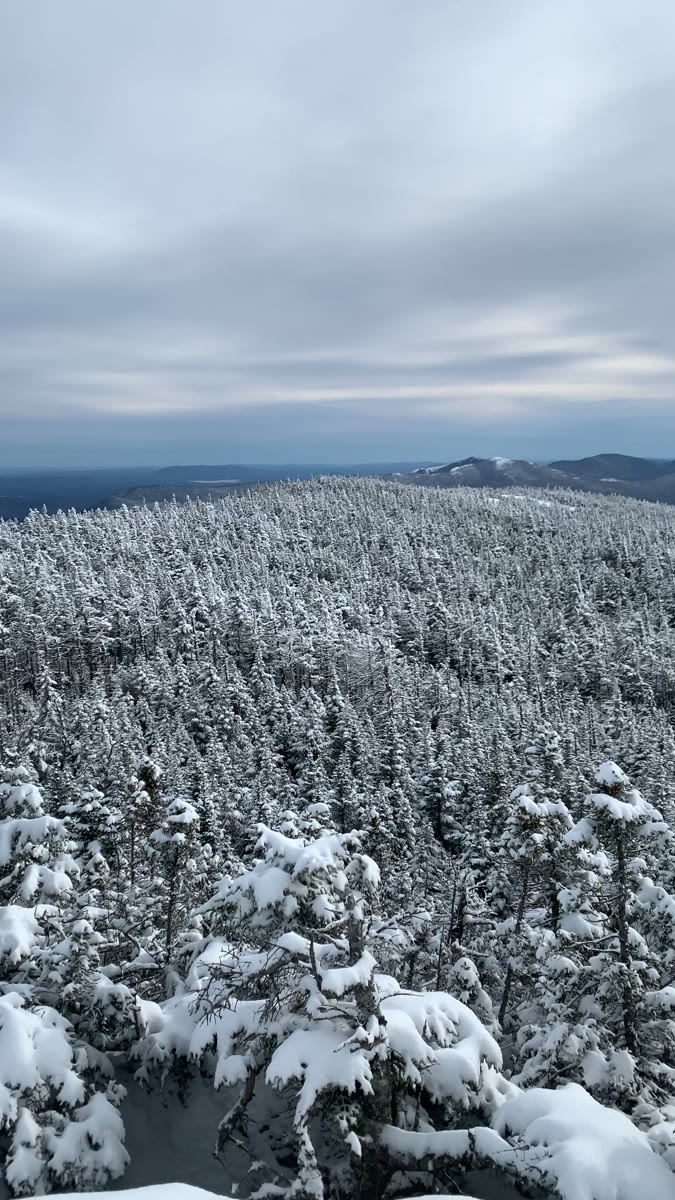
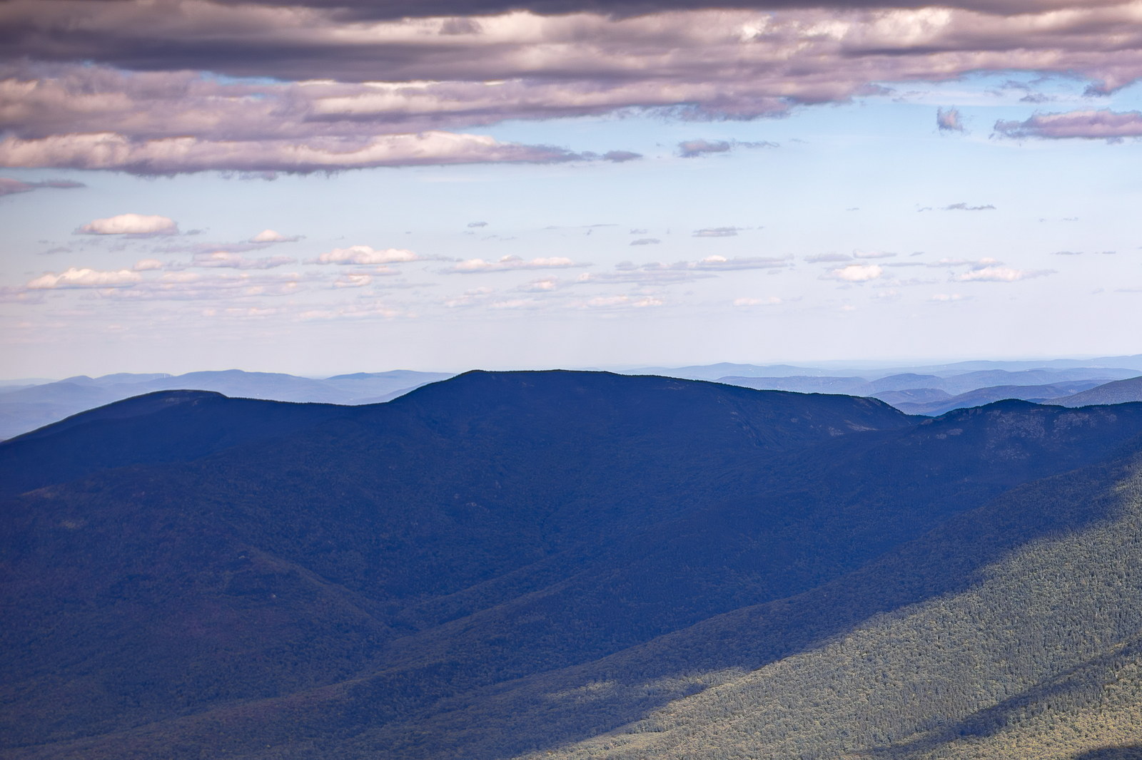
Mount Moriah is a 4,049-foot mountain in Coös County, New Hampshire. It is the northernmost peak on the Appalachian Mountain Club’s list of 4,000-footers in the White Mountains. Mount Moriah is part of the Carter-Moriah Range and stands to the northeast of Pinkham Notch, overlooking the town of Gorham. The summit, reached via the Carter-Moriah Trail (which is also the Appalachian Trail in this section), consists of open ledges that provide excellent views. From Mount Moriah’s summit one can see the Presidential Range to the west, as well as the Carter Range and the Wild River Wilderness. The mountain’s name comes from the Bible (likely named by 19th-century mapmakers), keeping with the theme after nearby Mount Zion and the town of Bethel, Maine to the east. Mount Moriah stands at the northeast end of the Carter-Moriah Range, overlooking the town of Gorham and the Androscoggin valley. Its name has biblical origins: “Mount Moriah” is referenced in the Bible as the mountain where Abraham prepared to sacrifice his son Isaac, and later one of the hills on which Jerusalem was built. The peak’s naming likely occurred in the mid-1800s, when it became fashionable to use biblical and classical names in the White Mountains (nearby Imp Mountain was once called Mount Zion, and there is a Mount Abram and a Jerusalem Valley in the vicinity). According to local legend, a deeply religious early settler or mapmaker chose the name Moriah to go along with the theme of “holy land” names after seeing the sun’s rays break through clouds on the summit – an almost divine spectacle. While the precise story is unconfirmed, the legend has become the accepted lore. In the late 19th century, logging encroached on Moriah from the east (the Wild River logging railroad) and from the north (Berlin Mills operations), but the summit cone was spared. Around 1881, AMC trail-builders led by George Van Nostrand cut the Carter-Moriah Trail from Gorham to the summit, making it one of the earlier White Mountain recreational paths. This route was later incorporated into the Appalachian Trail, and Moriah became (and remains) the northernmost NH 4,000-footer on the AT. In terms of structures, Mount Moriah never had a fire tower – the nearby Mount Surprise had a fire lookout instead. However, Moriah’s summit did see a shelter: in 1933 the AMC built Ralph’s Vista Shelter just below the summit for AT hikers (it was removed in the 1950s). Today, Mount Moriah’s open ledge summit provides excellent views – you can see the Presidential Range to the west and the wilds of the Carter-Wild River region all around. The mountain’s mix of cultural naming and natural beauty encapsulates how 19th-century perceptions of the White Mountains often intertwined religious reverence with the awe of nature.