NOAA / NWS
Snapshot unavailable
Live summit weather is temporarily unavailable. Static trip-planning guidance remains available below.
Mount Moosilauke is a 4,802-foot mountain at the southwestern end of the White Mountains, located in Grafton County, New Hampshire.
Mount Moosilauke
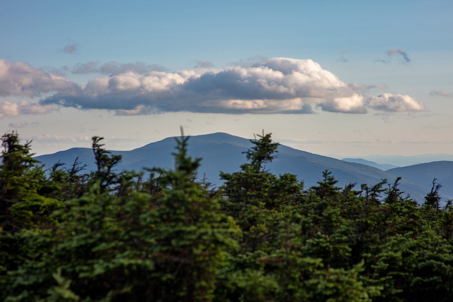 Mount Moosilauke Beneath Evening Clouds
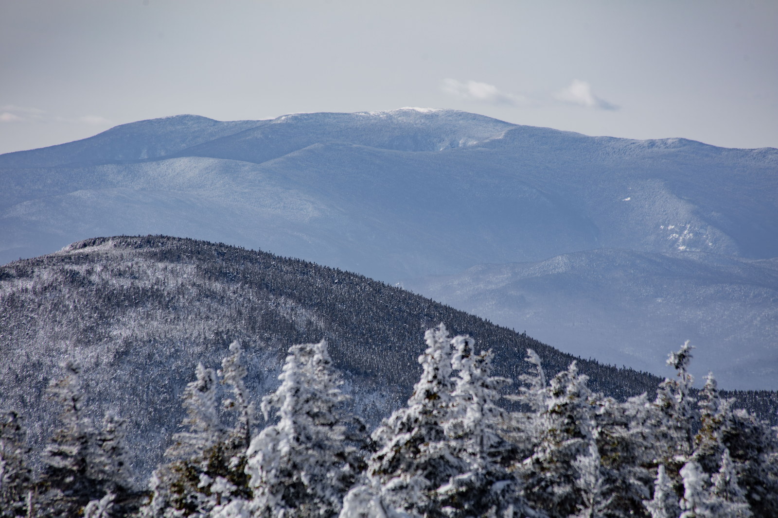
 Winter Panorama of Mount Moosilauke
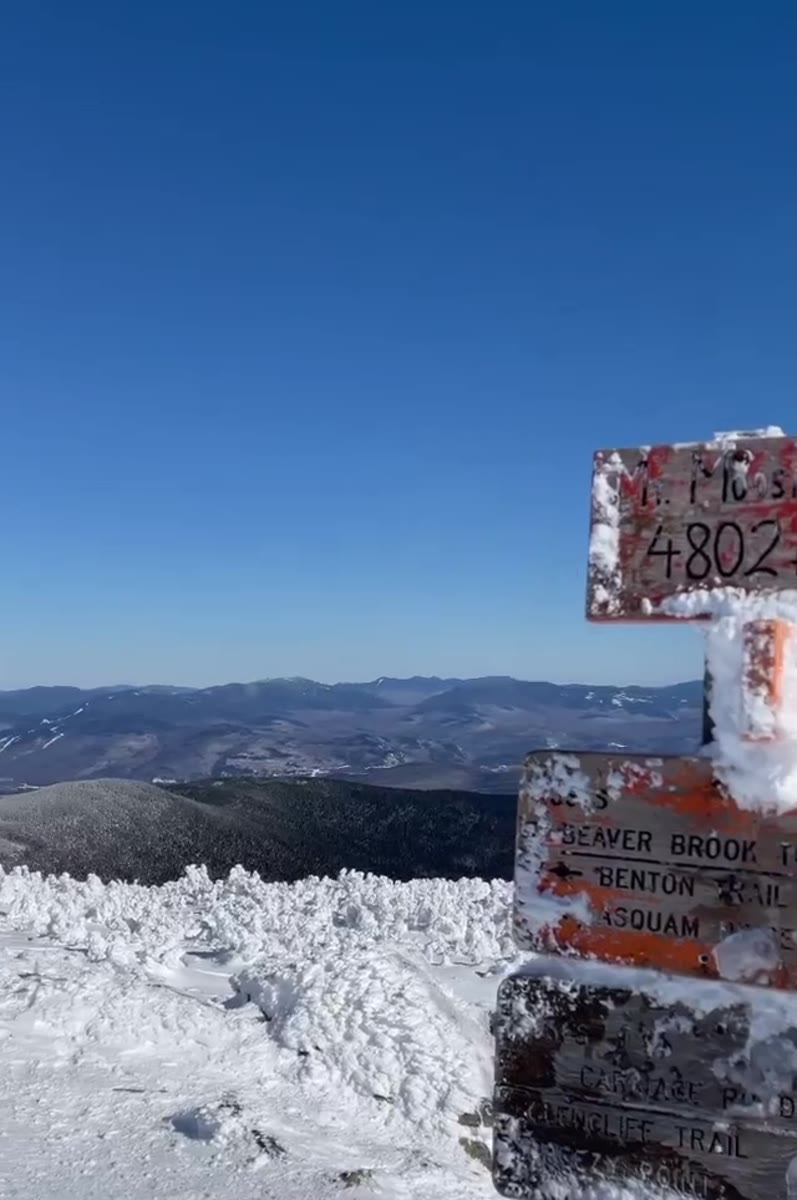 Frosted Trail Sign on Mount Moosilauke's Snowfield
Open video page
Frosted Trail Sign on Mount Moosilauke's Snowfield
Open video page
NH48 stylized terrain with summit marker, contours, and nearby trails.
Static map preview
Mount Moosilauke: summit area with linked trail context.
NOAA / NWS point forecast for this summit location.
Live summit weather is temporarily unavailable. Static trip-planning guidance remains available below.
Sun and moon timing for this peak.
Astronomy timing is temporarily unavailable.
Stream context
Drainage context only, not a crossing safety decision. 4 linked water references; expand a row for sources and notes.
Route note: Yes - streams along Gorge Brook; spring at Beaver Brook shelter on Beaver Brook Trail.
StationPEMIGEWASSET RIVER AT WOODSTOCK, NH • 01075000
StationWILD AMMONOOSUC RIVER AT NH 116, NEAR BATH, NH • 01137975
Wild Ammonoosuc context for Moosilauke, Kinsmans, and western Franconia foothill access roads and brook crossings.
StationOLIVERIAN BROOK AT NH 25, NR EAST HAVERHILL, NH • 01139300
Oliverian Brook context for Moosilauke south-side access and Oliverian Brook Trail conditions after rain.
StationBAKER RIVER NEAR RUMNEY, NH • 01076000
Treat rising, stale, modeled, or missing readings conservatively.
Maintained in the winter by Dartmouth Outing Club. Parking available halfway up the access road.
Verify official sources and posted signs before driving to a trailhead.