NOAA / NWS
Snapshot unavailable
Live summit weather is temporarily unavailable. Static trip-planning guidance remains available below.
Cannon Mountain is a 4,100-foot (1,249 m) mountain located in Grafton County, New Hampshire.
Cannon Mountain
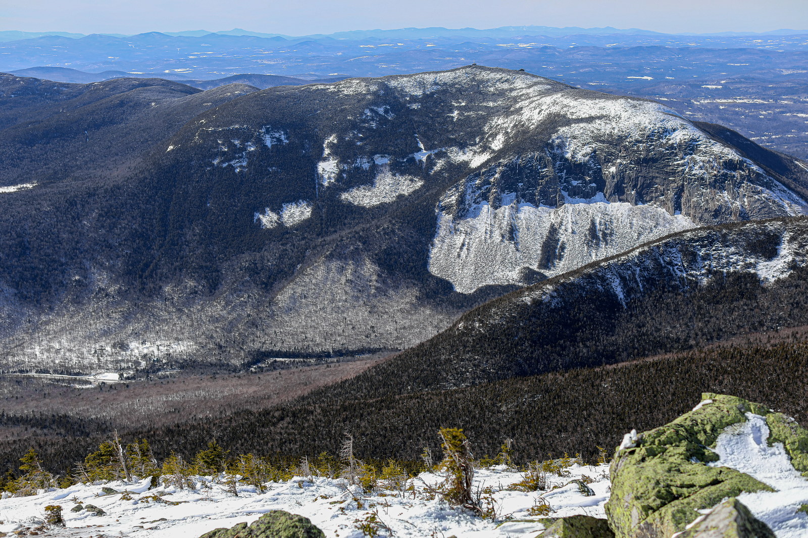
 Late Winter Snow Patches on Cannon Mountain
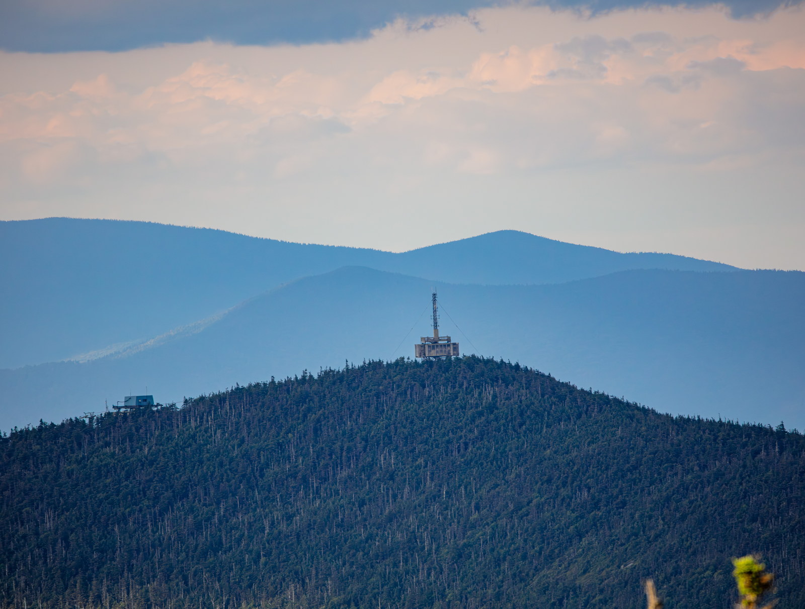
 Evening Glow on Cannon Mountain Summit
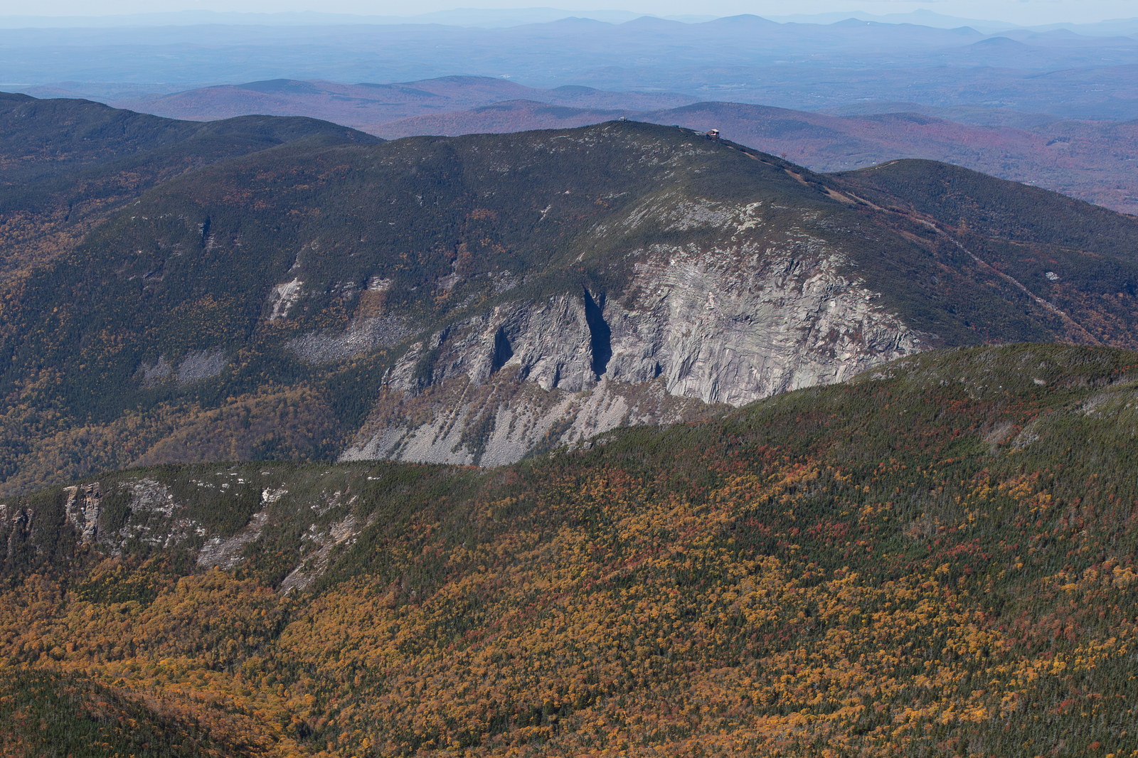
 Cannon Mountain Granite Face in Autumn
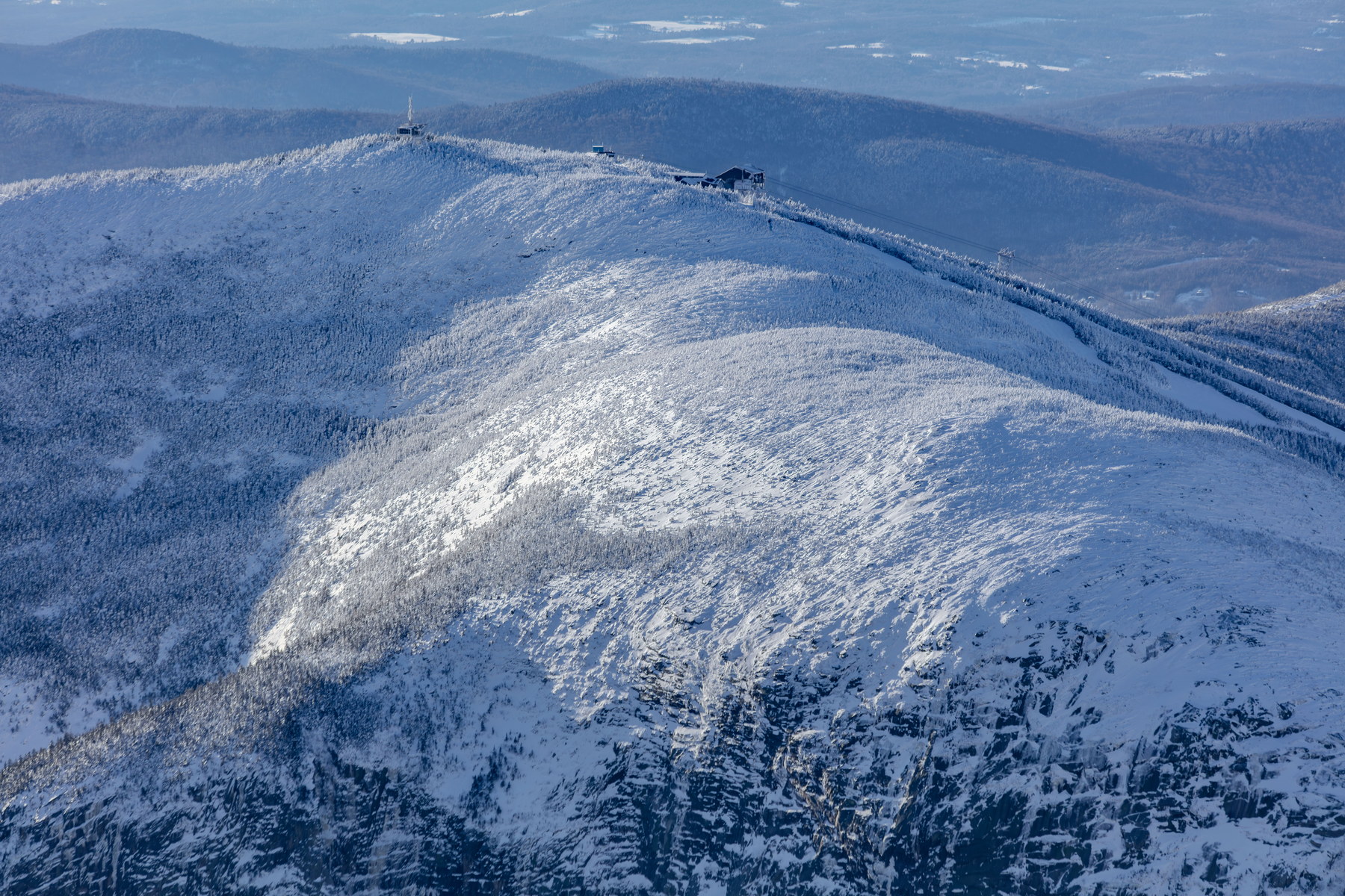 Winter Light on Cannon Mountain Summit Ridge
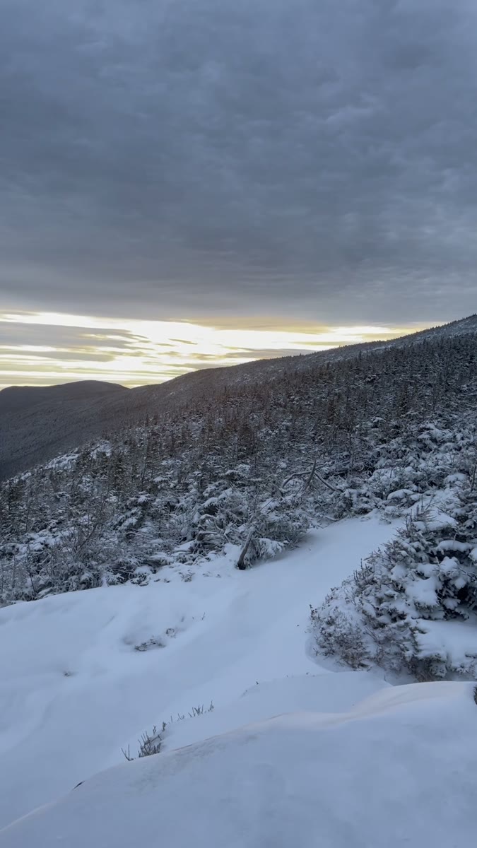 Snowy Cannon Mountain Under a Low Winter Sky
Open video page
Snowy Cannon Mountain Under a Low Winter Sky
Open video page
NH48 stylized terrain with summit marker, contours, and nearby trails.
Static map preview
Cannon Mountain: summit area with linked trail context.
NOAA / NWS point forecast for this summit location.
Live summit weather is temporarily unavailable. Static trip-planning guidance remains available below.
Sun and moon timing for this peak.
Astronomy timing is temporarily unavailable.
Stream context
Drainage context only, not a crossing safety decision. 2 linked water references; expand a row for sources and notes.
Route note: Yes - Lonesome Lake on route; otherwise no flowing water on steep sections.
StationOLIVERIAN BROOK AT NH 25, NR EAST HAVERHILL, NH • 01139300
Oliverian Brook context for Moosilauke south-side access and Oliverian Brook Trail conditions after rain.
StationWILD AMMONOOSUC RIVER AT NH 116, NEAR BATH, NH • 01137975
Wild Ammonoosuc context for Moosilauke, Kinsmans, and western Franconia foothill access roads and brook crossings.
Treat rising, stale, modeled, or missing readings conservatively.
Primary trailheads are linked, but no WMNF seasonal access-road dependency is currently linked to this route. This is common for state highways, AMC lots, ski-area lots, or year-round paved road access.
Verify official sources and posted signs before driving to a trailhead.