NOAA / NWS
Snapshot unavailable
Live summit weather is temporarily unavailable. Static trip-planning guidance remains available below.
Bondcliff is a 4,265-foot peak in the White Mountains of New Hampshire.
Bondcliff
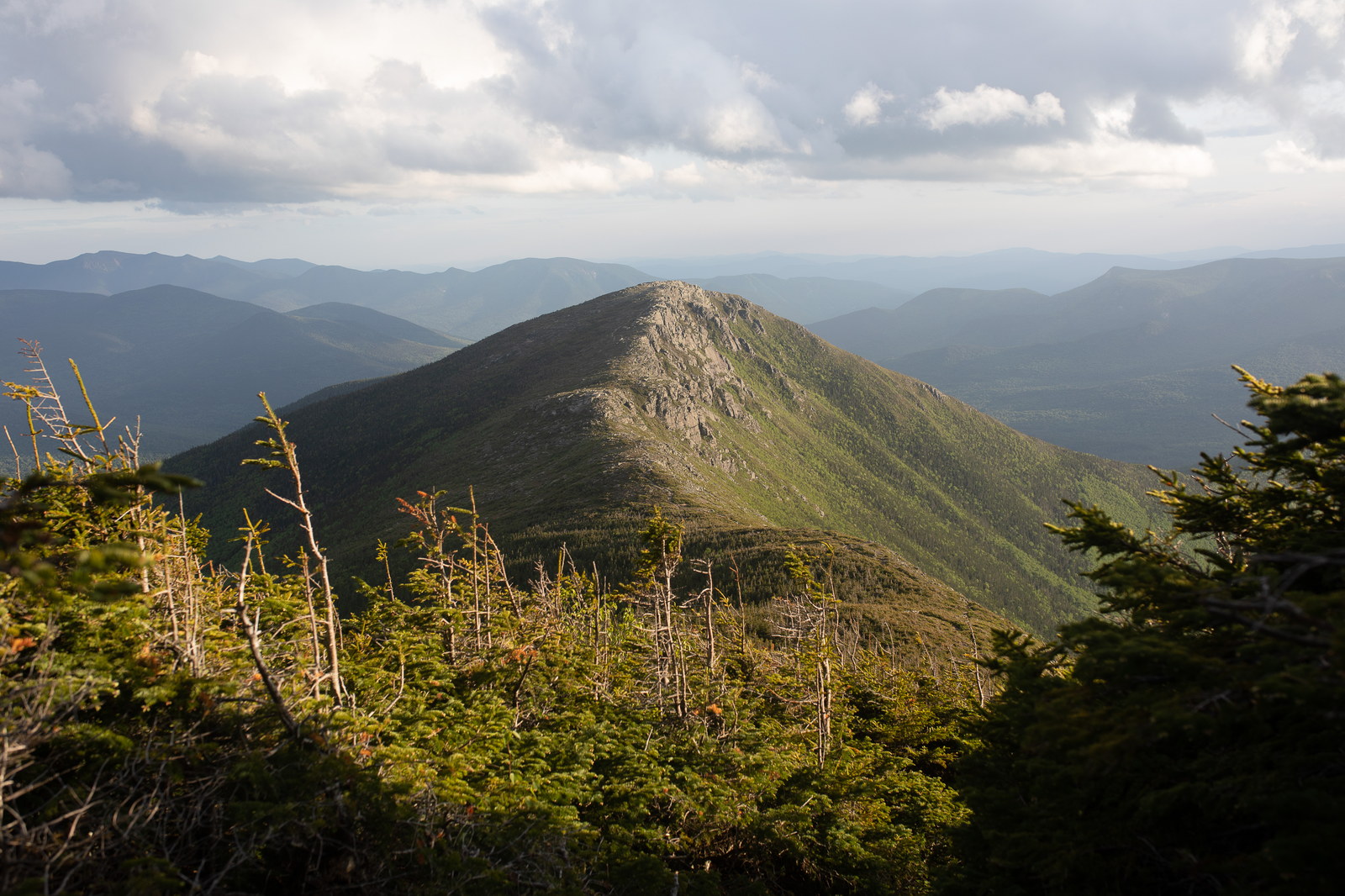
 Golden Light on Bondcliff Ridge
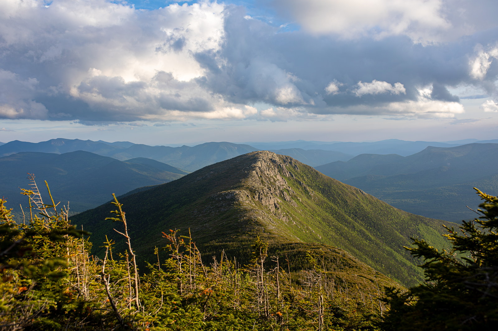
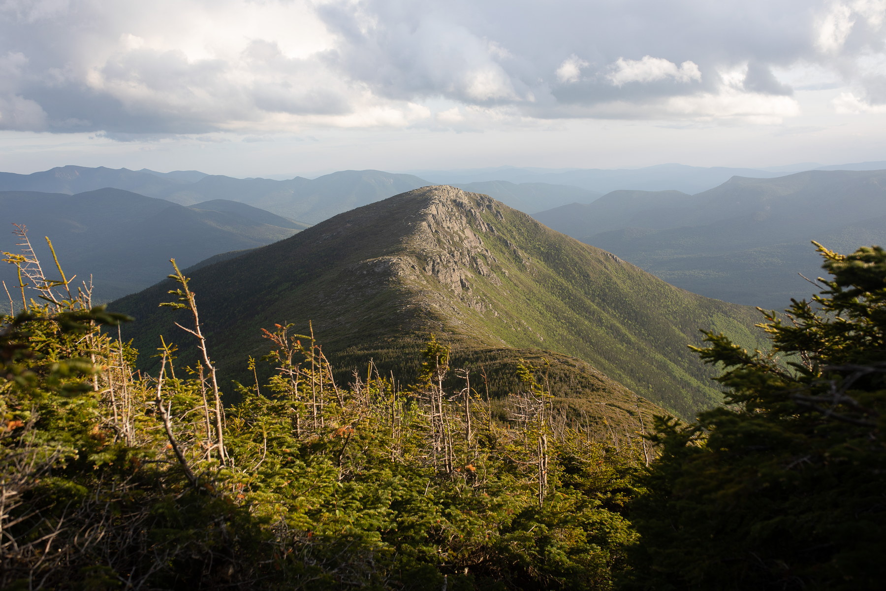
 Late Afternoon Shadows on Bondcliff Summit
 Twilight Haze Over Bondcliff Summit
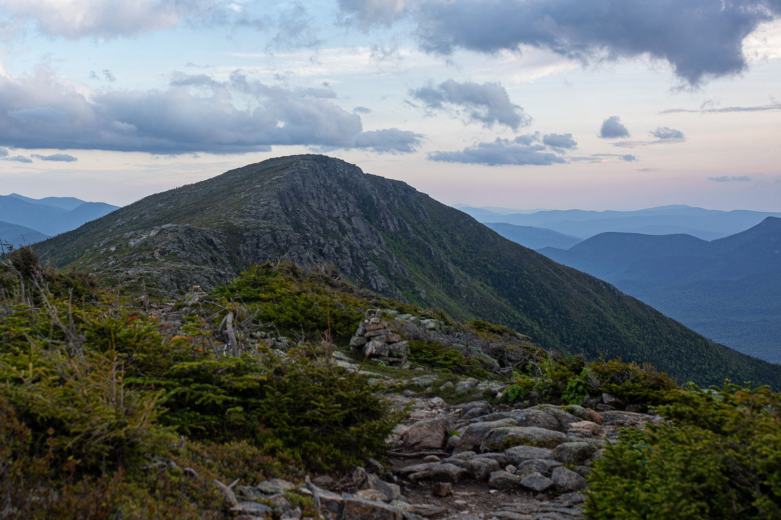
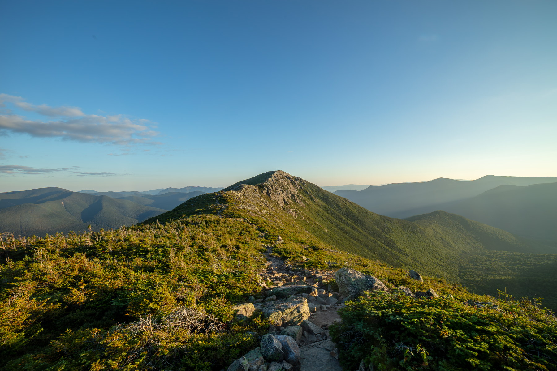 Sunset Trail Leading to Bondcliff Summit
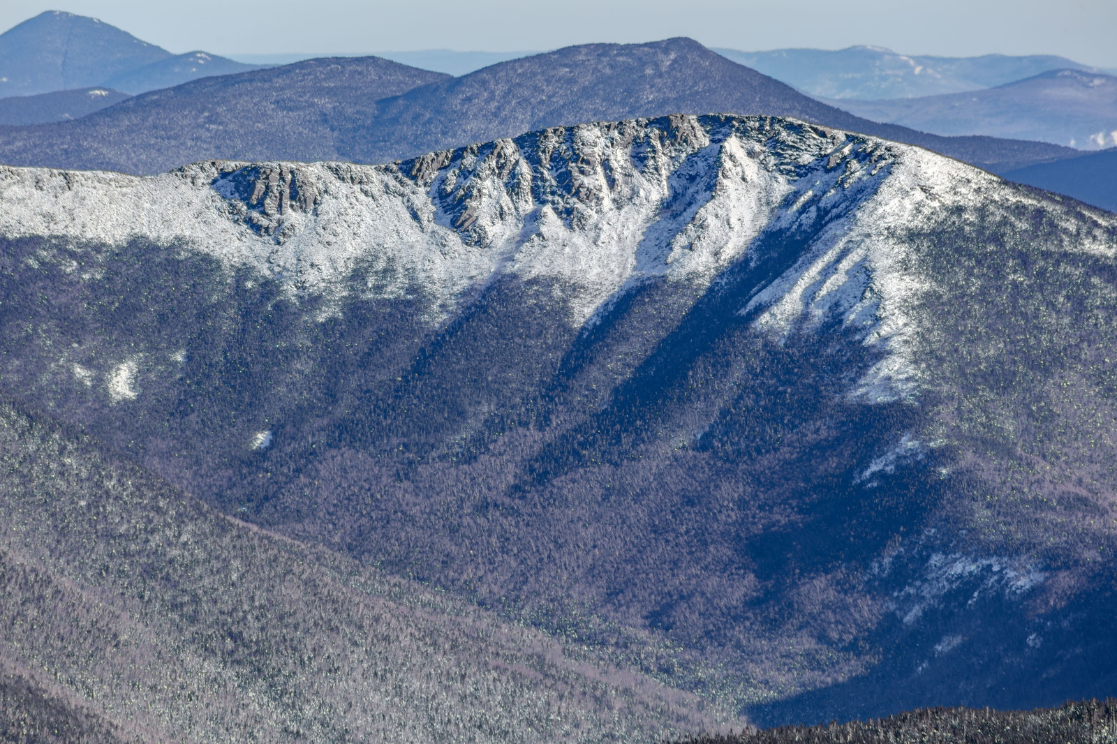
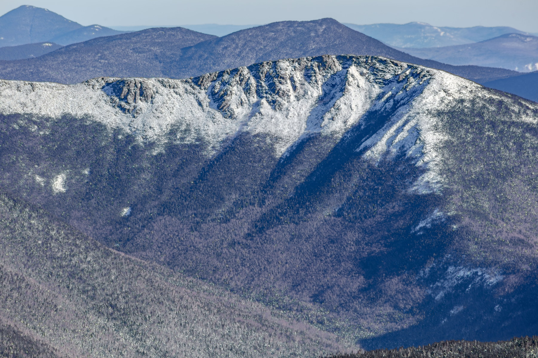 Winter Light on Bondcliff’s Granite Crest
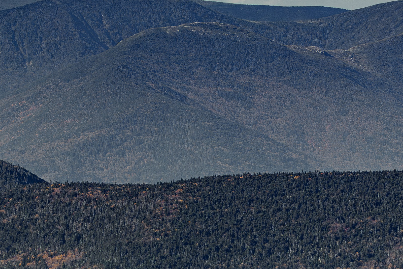
 Bondcliff’s Autumnal Forest Canopy
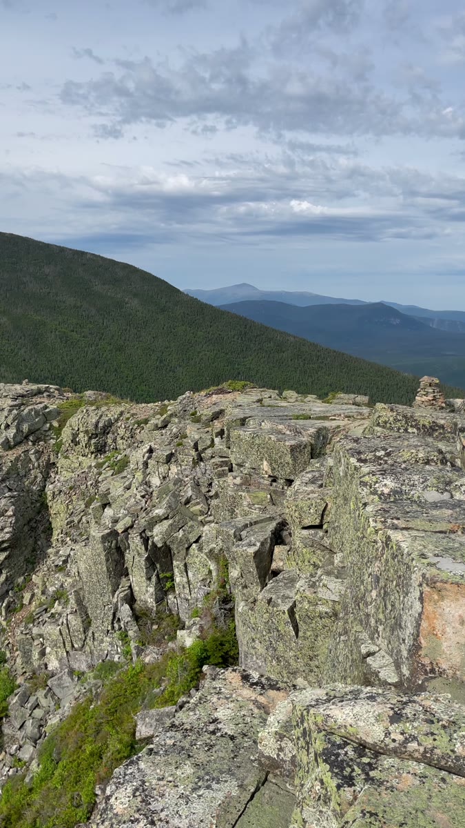 Rocky Bondcliff Ledges Above Forested Ridges
Open video page
Rocky Bondcliff Ledges Above Forested Ridges
Open video page
NH48 stylized terrain with summit marker, contours, and nearby trails.
Static map preview
Bondcliff: summit area with linked trail context.
NOAA / NWS point forecast for this summit location.
Live summit weather is temporarily unavailable. Static trip-planning guidance remains available below.
Sun and moon timing for this peak.
Astronomy timing is temporarily unavailable.
Stream context
Verify official sources and posted signs before driving to a trailhead.