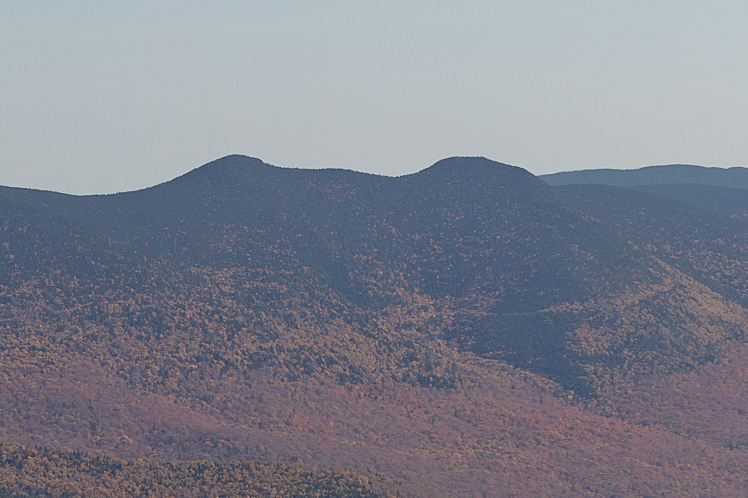
Mount Tripyramid, Middle Peak is a 4,140-foot summit in the Sandwich Range of the White Mountains, located in Grafton County, New Hampshire. It is the middle of the three Tripyramid peaks and the second-highest (after North Tripyramid). Middle Tripyramid is also included in the official 4,000-footers list. Like North Tripyramid, its summit is wooded with no direct views. The peaks are often hiked together via the Mt. Tripyramid Trail (which ascends the steep North Slide and descends the South Slide), and hikers can find good views from the slide areas or from Scaur Ridge nearby. Middle Tripyramid just meets the prominence requirement above the col with North Tripyramid to count as a distinct summit. Middle Tripyramid is the middle summit of Mount Tripyramid’s trio of peaks and the second-highest of the three. Like North Tripyramid, its name was given by Professor Arnold Guyot during his extensive survey of the White Mountains in the 1850s. Guyot named numerous peaks (including the neighboring Mount Carrigain, Mount Lafayette’s alternate name North & South Peaks, etc.), and for Tripyramid he used a straightforward descriptive approach. The name “Tripyramid” first appears in print on Guyot’s 1860s maps, solidifying these labels. Middle Tripyramid is densely wooded on top and has no view, which has meant little human development on the peak itself. The history of the Tripyramid area is largely a tale of logging and nature’s reclamation. In the late 1800s, the immense Livermore Logging Operation was active to the south of Tripyramid. The Tripyramid Slide of 1869 on the south side (visible from Waterville) was possibly triggered by heavy rains during that period of logging. Middle Tripyramid stands between the two large slide scars (North Slide and South Slide) that have become geological landmarks. Early hikers—members of the AMC in the 1870s and 1880s—explored these slides; one account from 1886 describes an intrepid descent of the South Slide “over loose rock and gravel.” The first formal trail across Middle Tripyramid was part of the Tri-Path created in 1899 linking all three summits. In the early 20th century, as the forests regrew, the slides remained open, providing the best views of the range’s interior. Middle Tripyramid just meets the prominence requirement to count as a distinct summit, which is why it’s on the official list. As such, many peak-baggers visit it specifically. Other than that, Middle Tripyramid’s summit might be one of the most inconspicuous of the 48 – only a small sign and canister used to mark it (the canister, a relic of the older peak-bagging verification system, has since been removed). Hiking Middle Tripyramid today, one passes through forests that hide the past scars of logging railroads and witness the enduring regeneration of these ancient Appalachian slopes.