Mount Cabot is a 4,170-foot mountain located in Coös County, New Hampshire. It is the highest peak in the Pilot Range of the White Mountains and the northernmost of New Hampshire’s 48 four-thousand footers. Mount Cabot is named (indirectly) for the Cabot family or possibly the explorer John Cabot, and it lies within the Kilkenny region of the White Mountain National Forest. The mountain is heavily forested. Its summit has a clearing (where a fire lookout tower once stood) but only obstructed views; however, nearby viewpoints on the trail, such as Bunnell Rock, offer nice vistas to the south and east. Mount Cabot is the highest peak of the Pilot Range and the northernmost of New Hampshire’s 48 four-thousand footers. The mountain was named for the Cabot family, specifically referencing either the explorer John Cabot or (more commonly asserted) his son Sebastian Cabot, who was a famous navigator in his own right. The Cabot name was likely applied by 19th-century mapmakers to honor the early explorers of North America (much as nearby peaks like Columbus, Franklin, etc., have exploratory or patriotic names). Mount Cabot lies in a region that was once quite remote from tourist influence. However, even this far north, logging had an impact. In the late 19th century, the Kilkenny Lumber Company built logging camps on Cabot’s slopes, and by the early 20th century the Berlin Lumber Company was active to the east. A logging railroad (the Randolph & Pleasant Valley) edged near the base of Cabot around 1912. The summit ridge of Cabot was never logged due to its inaccessible height, and so by the 1920s it made a prime location for a fire lookout. In 1924, the Forest Service built a small fire lookout cabin near Mount Cabot’s summit (just a few yards below the high point on the west side). They also erected a steel fire tower. The tower stood for several decades but was removed by the 1960s. The cabin still remains and is now maintained as an overnight shelter for hikers – one of the few surviving original fire warden’s cabins in the Whites. Because of its northern location, Mount Cabot wasn’t officially added to the AMC 4,000-footer list until later (it was recognized by the AMC in the 1950s). Its summit is marked by a clearing where the tower once stood, but trees have since grown to obscure the once-impressive view. Nevertheless, an outlook at Bunnell Rock on the trail up provides a beautiful vista across the North Country. Mount Cabot’s legacy is a blend of exploration history (with the Cabot name), conservation (it anchors the Pilot Range within the National Forest), and the bygone era of solitary fire watchers scanning the horizon from its top.
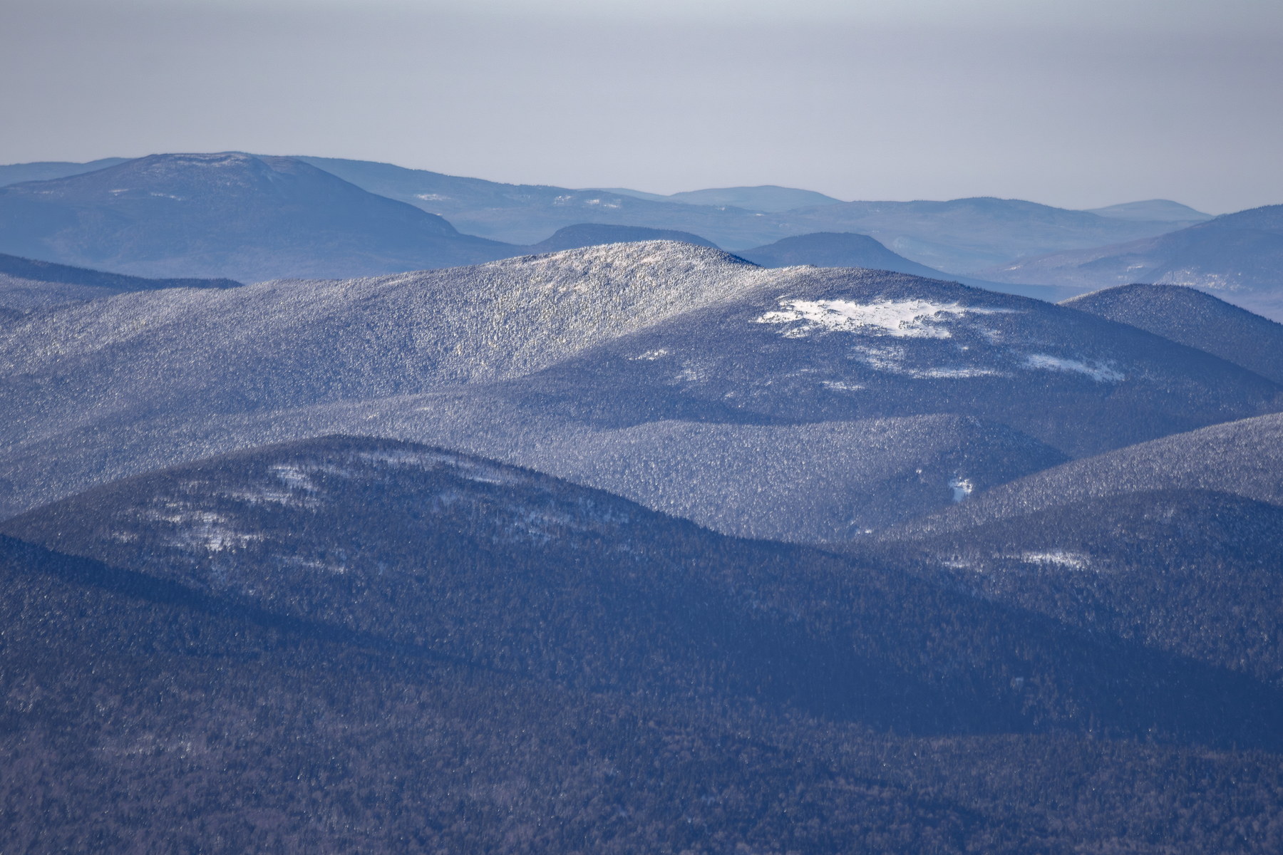 Winter Light on Mount Cabot Ridge
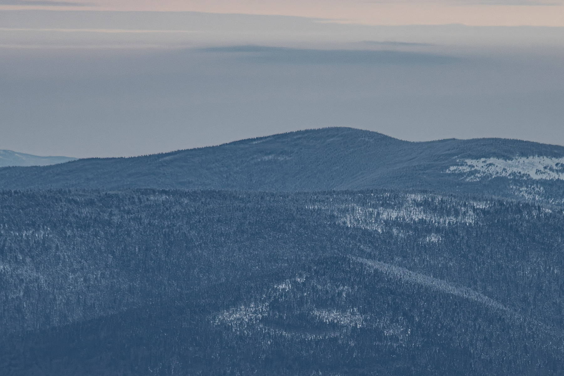 Subtle Winter Haze over Mount Cabot
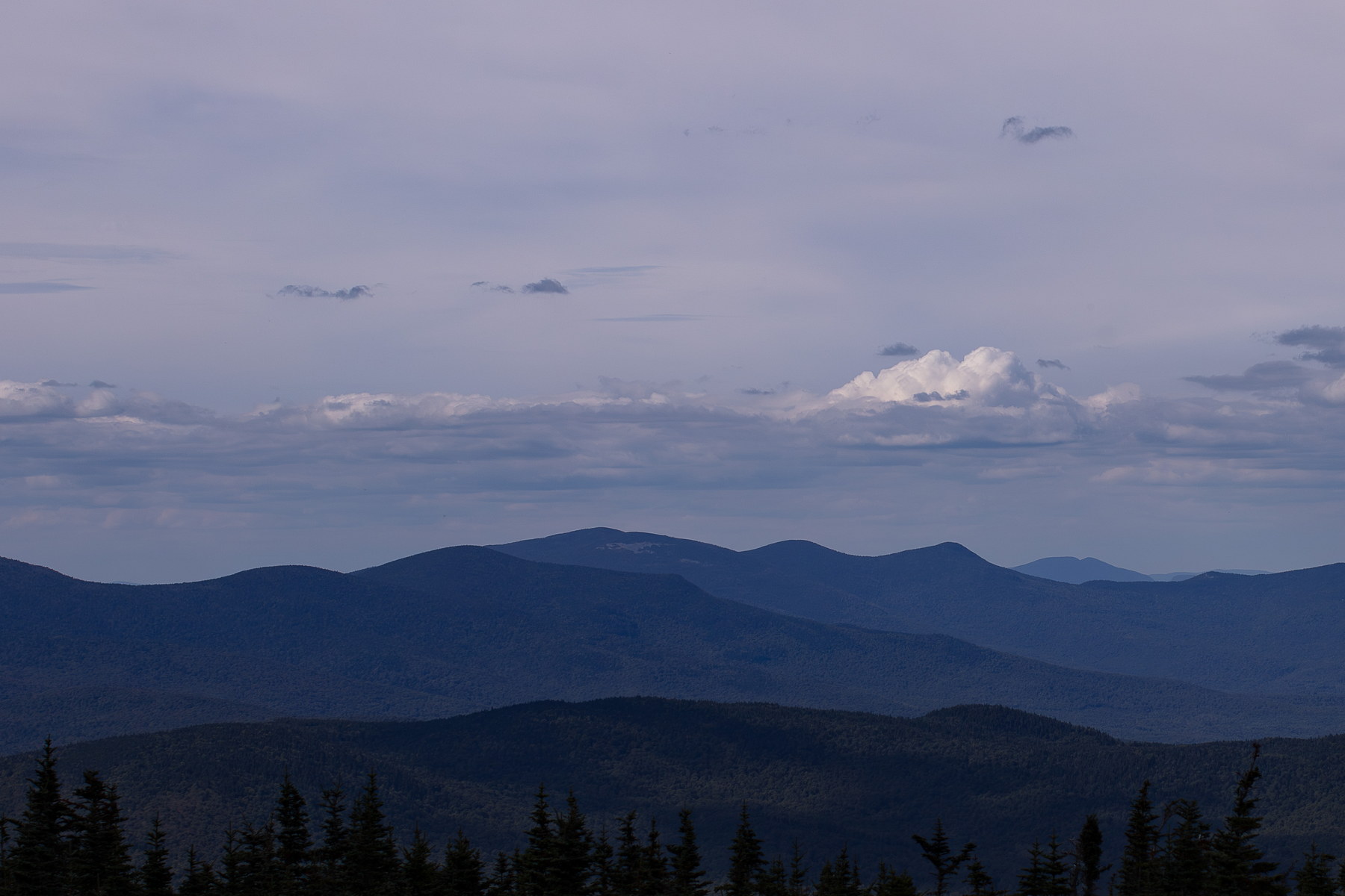 Afternoon Haze over Mount Cabot
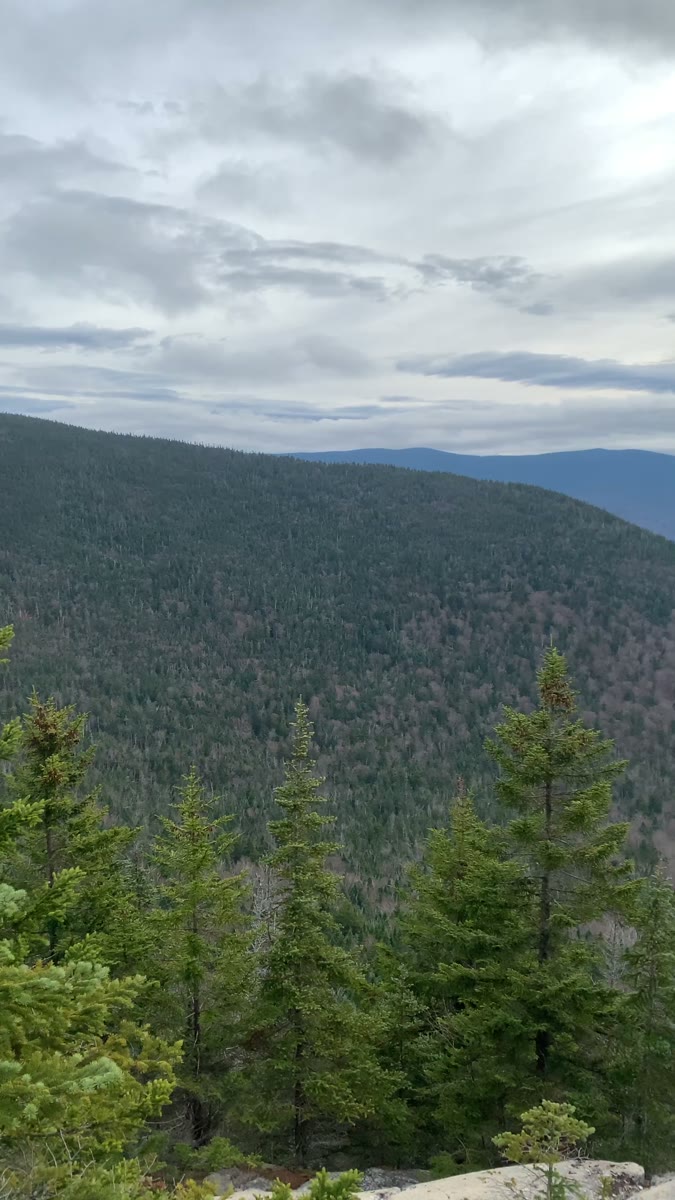 Clouded Forest Ridges from Mount Cabot
Open video page
Clouded Forest Ridges from Mount Cabot
Open video page


