NOAA / NWS
Snapshot unavailable
Live summit weather is temporarily unavailable. Static trip-planning guidance remains available below.
Mount Waumbek is a 4,006-foot mountain in Coös County, New Hampshire.
Mount Waumbek
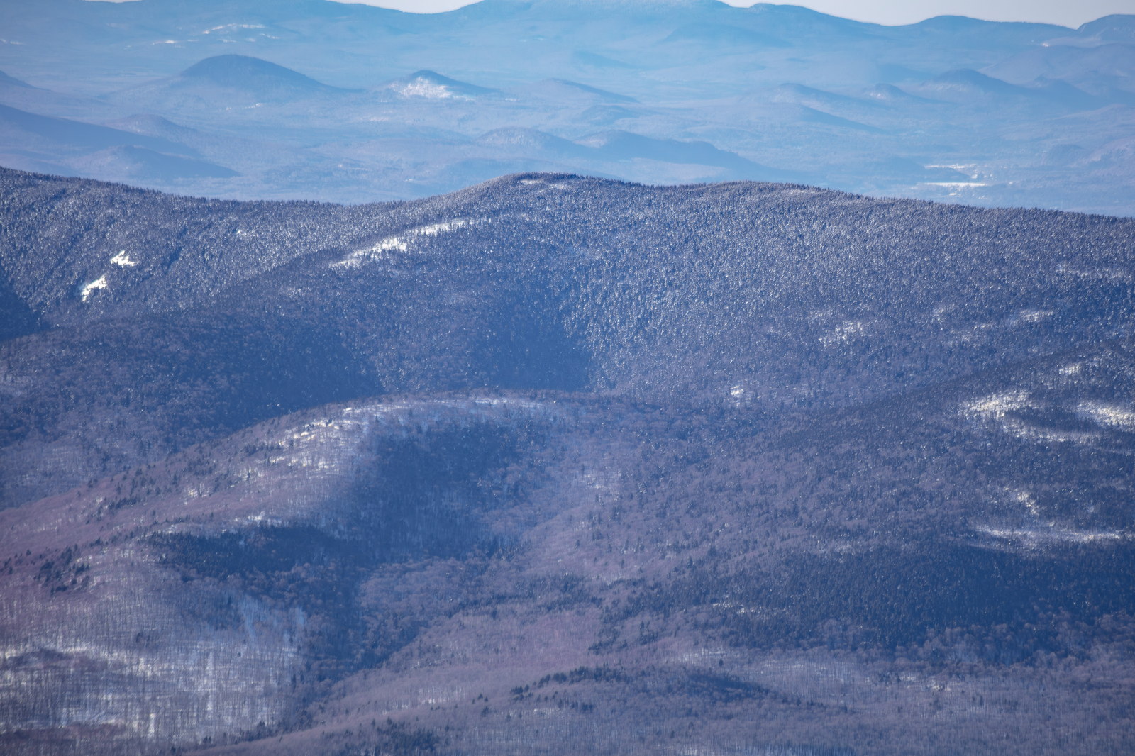
 Winter Light on Mount Waumbek Ridge
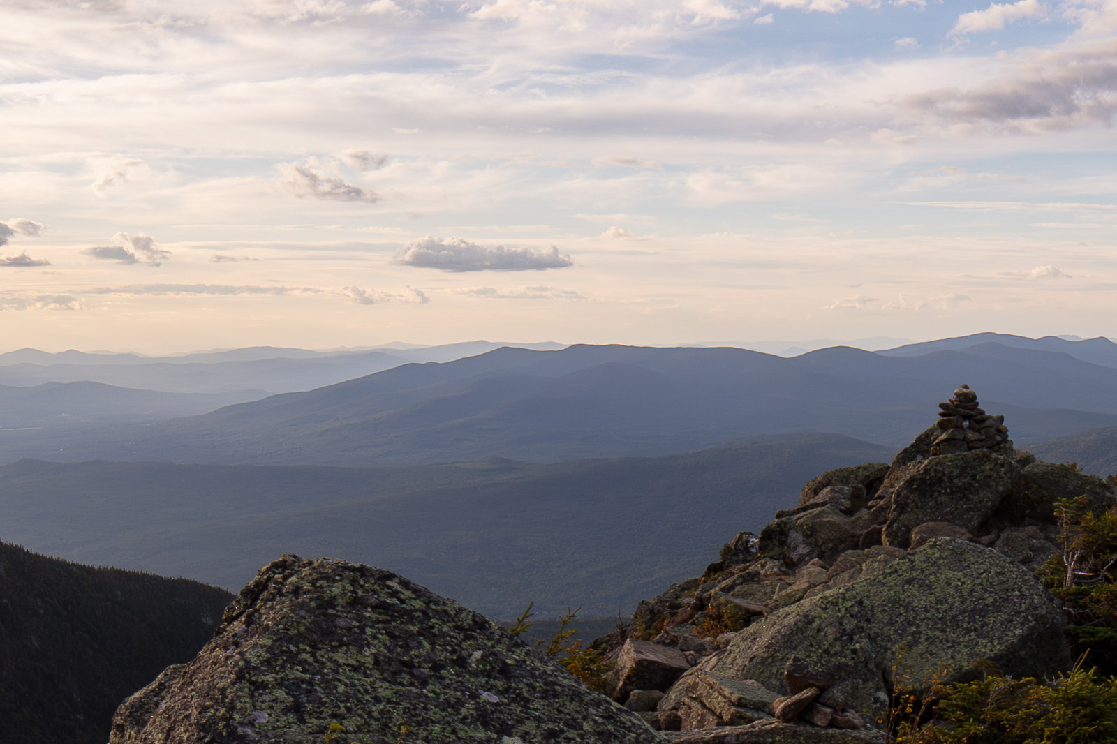
 Evening Serenity from Mount Waumbek Summit
OpenStreetMap area view with summit marker and nearby trail context.
Static map preview
Mount Waumbek: summit area with linked trail context.
NOAA / NWS point forecast for this summit location.
Live summit weather is temporarily unavailable. Static trip-planning guidance remains available below.
Sun and moon timing for this peak.
Astronomy timing is temporarily unavailable.
Stream context
Drainage context only, not a crossing safety decision. 2 linked water references; expand a row for sources and notes.
Route note: Limited - no major water sources on trail; an old spring near Starr King summit sometimes flows lightly, but plan to carry water.
StationISRAEL RIVER AB S B ISRAEL R, NEAR JEFFERSON, NH • 01130500
Northern Presidential and Jefferson side context for Caps Ridge, Appalachia, and Waumbek / Starr King planning.
StationAndroscoggin River near Gorham, NH • 01054000
Treat rising, stale, modeled, or missing readings conservatively.
Primary trailheads are linked, but no WMNF seasonal access-road dependency is currently linked to this route. This is common for state highways, AMC lots, ski-area lots, or year-round paved road access.
Verify official sources and posted signs before driving to a trailhead.