NOAA / NWS
Snapshot unavailable
Live summit weather is temporarily unavailable. Static trip-planning guidance remains available below.
Mount Osceola, East Peak (often simply called East Osceola) is a 4,156-foot mountain in the White Mountains of New Hampshire.
Mount Osceola - East Peak.
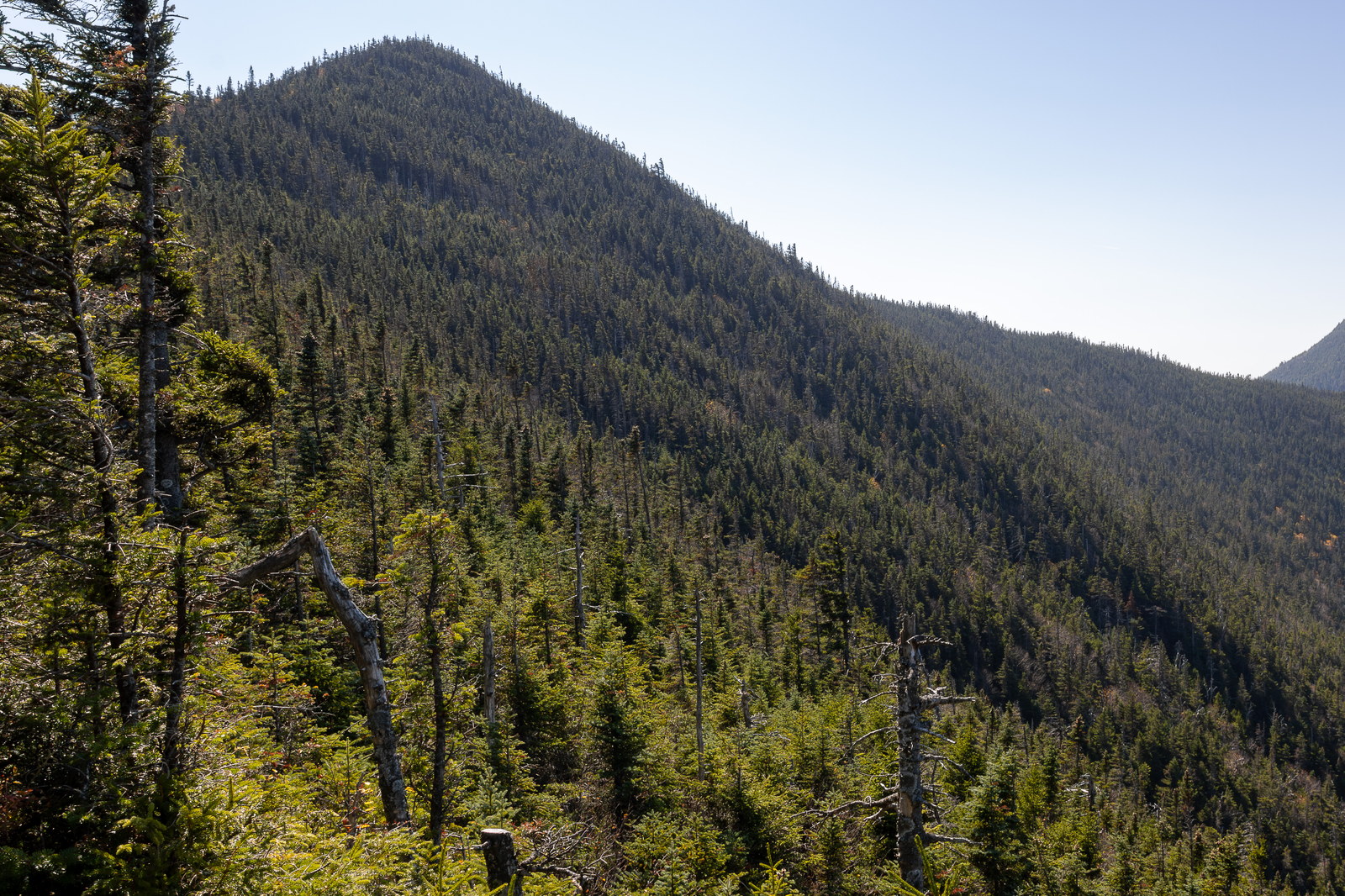
 Sunlit Ridge of Mount Osceola East Peak
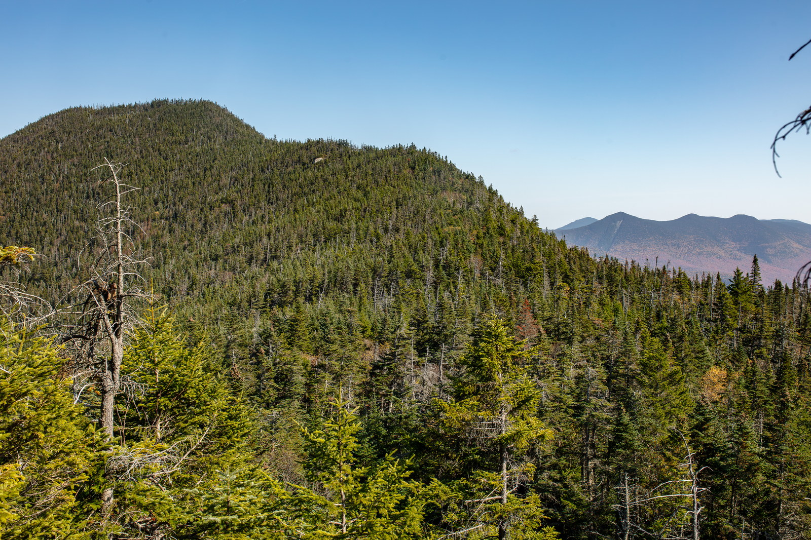
 Afternoon Light on Mount Osceola East Peak
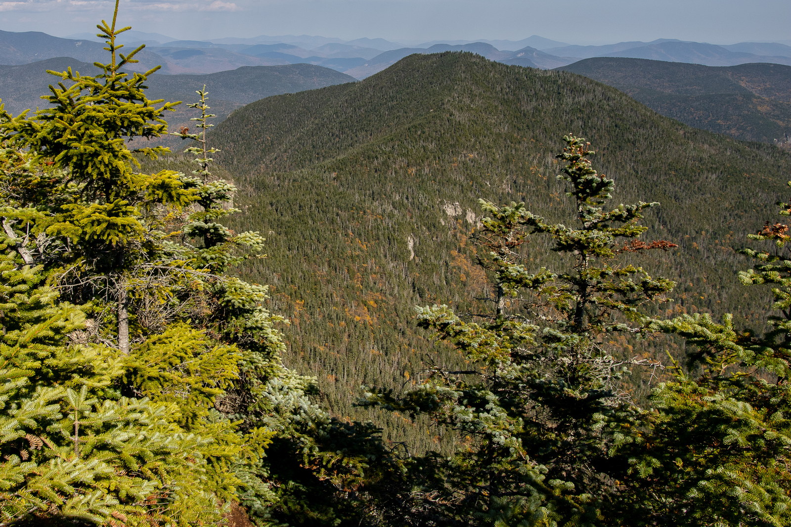
 Verdant Outlook over Mount Osceola East Peak
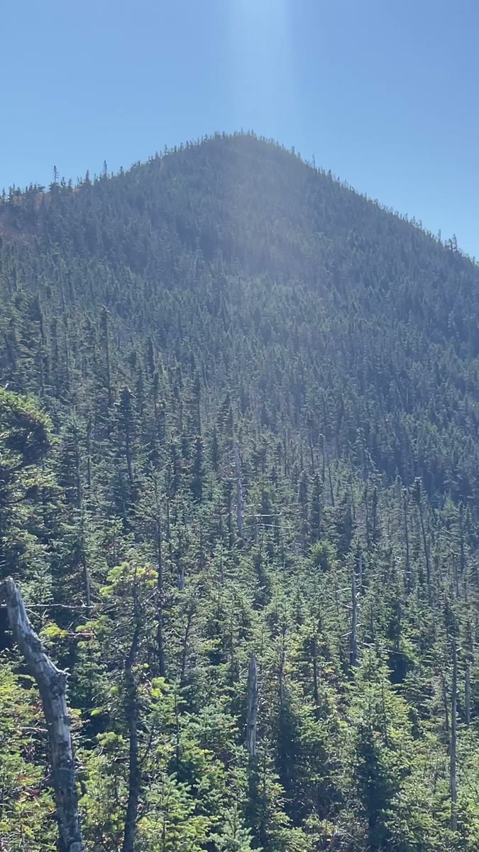 Forested Cone and Close Fir on East Osceola
Open video page
Forested Cone and Close Fir on East Osceola
Open video page
NH48 stylized terrain with summit marker, contours, and nearby trails.
Static map preview
Mount Osceola - East Peak.: summit area with linked trail context.
NOAA / NWS point forecast for this summit location.
Live summit weather is temporarily unavailable. Static trip-planning guidance remains available below.
Sun and moon timing for this peak.
Astronomy timing is temporarily unavailable.
Stream context
Drainage context only, not a crossing safety decision. 3 linked water references; expand a row for sources and notes.
Route note: Limited – small brooks near trailheads; no water on the ridge
StationHANCOCK BRANCH 1.5 MI ABOVE MOUTH, NR LINCOLN, NH • 01074200
Hancock Branch context for Hancock, Osceola, and East Branch side trips when brook crossings and Tripoli drainage are the main question.
StationPEMIGEWASSET RIVER AT WOODSTOCK, NH • 01075000
StationBAKER RIVER NEAR RUMNEY, NH • 01076000
Treat rising, stale, modeled, or missing readings conservatively.
Verify official sources and posted signs before driving to a trailhead.