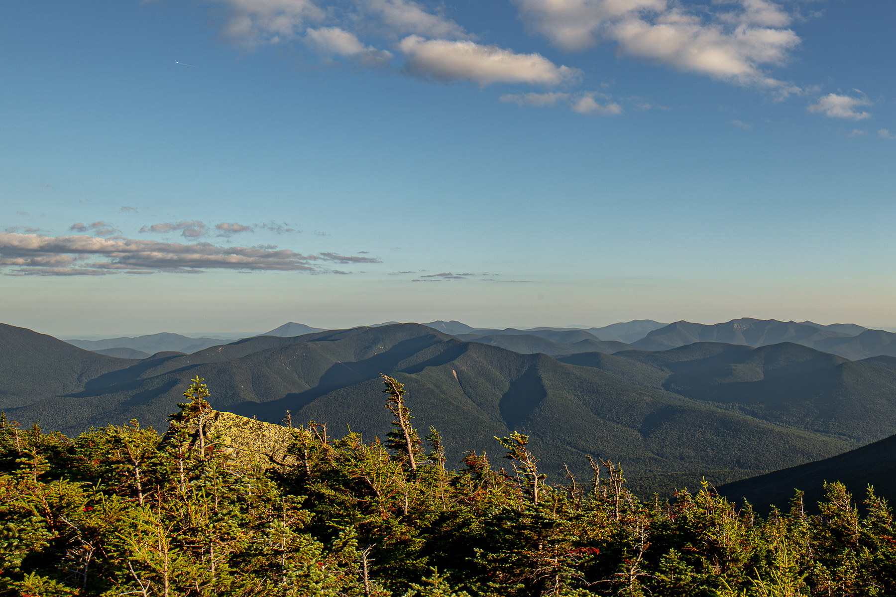
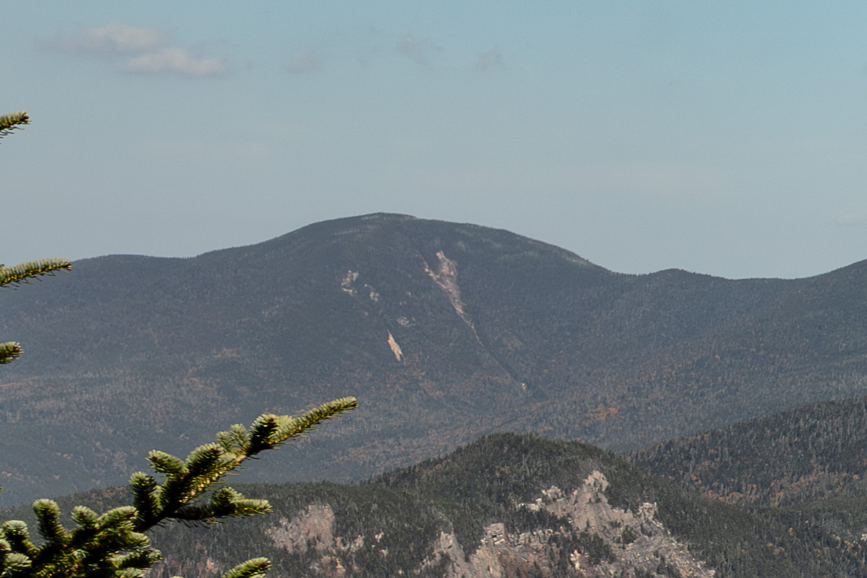
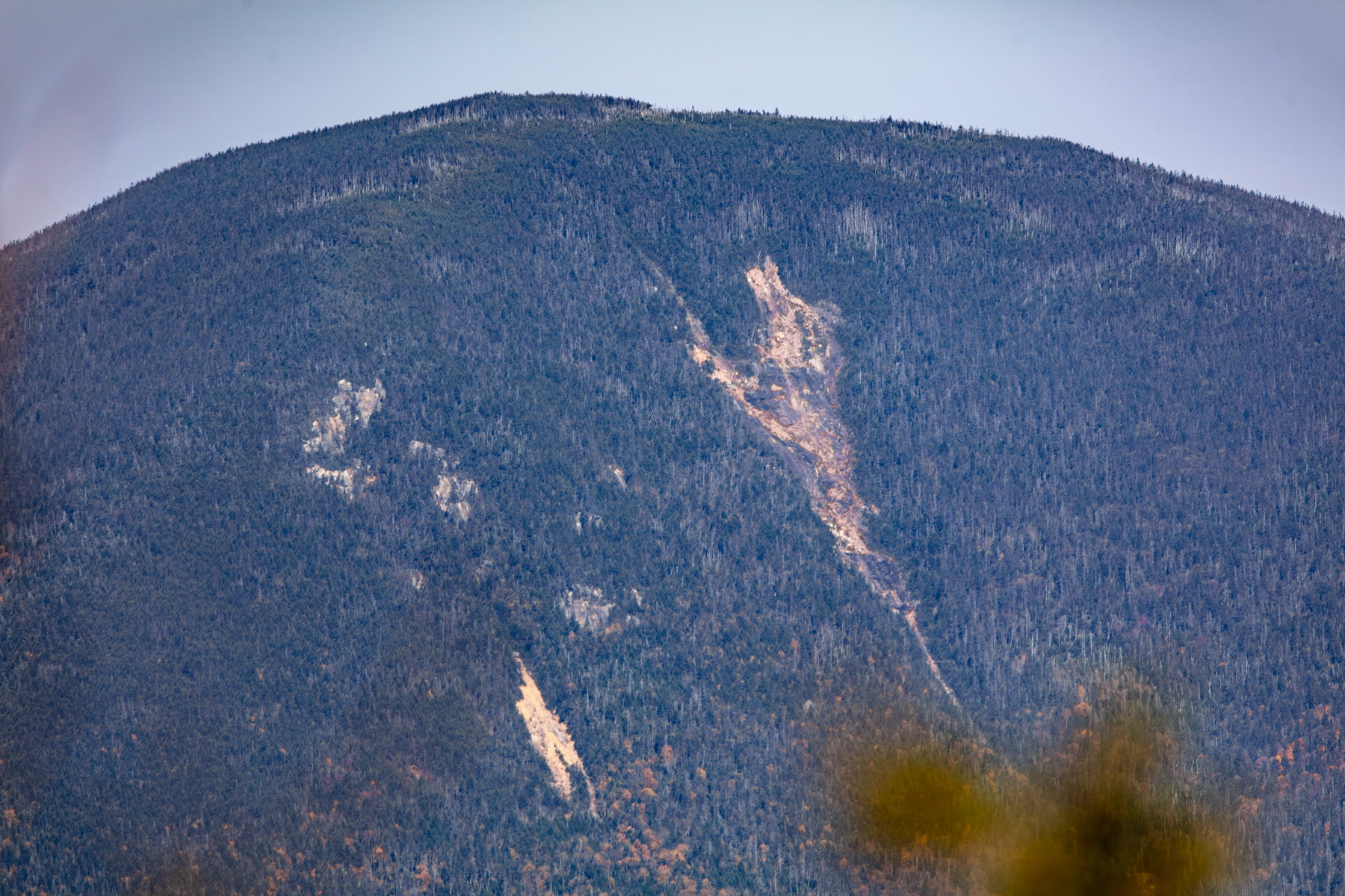
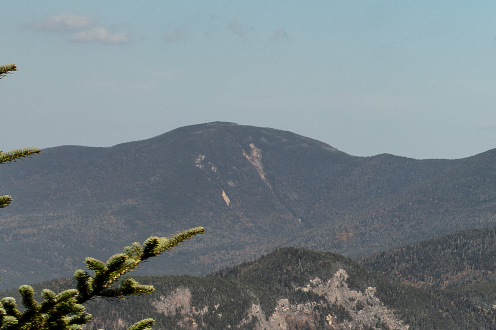
Mount Hancock is a 4,420-foot mountain in Grafton County, New Hampshire. The mountain is situated on the southern side of the Pemigewasset Wilderness in the White Mountains. Mount Hancock was named after John Hancock (1737–1793), one of the Founding Fathers of the United States. It is known for its remote location and is often hiked via a loop that also includes its subpeak (South Hancock). The summit of Mount Hancock is forested, with a small outlook near the top that offers views, particularly towards the Osceola range and the heart of the wilderness. Mount Hancock is a remote peak on the southern fringe of the Pemigewasset Wilderness, named in honor of John Hancock (1737–1793), famous signer of the Declaration of Independence and first governor of Massachusetts. The peak was likely named around the 1880s, when a flurry of White Mountain summits were dedicated to Revolutionary-era figures. In the late 19th century, the Hancock area was extremely hard to reach – it wasn’t until the Lincoln Railroad pushed into the East Branch of the Pemigewasset (1890s–1900s) that logging came to Mount Hancock’s valleys. By 1908, lumbermen had built the Hancock Branch Railroad up the North Fork, skirting the base of Hancock; they felled a great deal of timber on its lower slopes. A massive logging camp (Camp 8) sat near the current trailhead. Once the forest was cut, fires sometimes followed – indeed fires burned on neighboring Mount Carrigain in 1907, though Hancock itself escaped a major blaze. As logging ended and the National Forest took over, Mount Hancock returned to quiet. It wasn’t climbed often until after WWII. In 1953, the US Forest Service cut the Hancock Loop Trail to encourage hikers, naming the peak officially (the trail also accesses South Hancock). The summit of Mount Hancock is densely wooded, but a small cleared outlook near the top (created by the trailbuilders) offers views towards the Osceola range and into the heart of the wilderness. These days, hikers tackling Hancock and South Hancock via the loop can still find old railway ties and other traces of J.E. Henry’s logging railroad along the approach – reminders of the mountain’s brief but intense exploitation over a century ago.