NOAA / NWS
Snapshot unavailable
Live summit weather is temporarily unavailable. Static trip-planning guidance remains available below.
Owl’s Head is a 4,025-foot mountain deep in the Pemigewasset Wilderness of the White Mountains, in Grafton County, New Hampshire.
Owl's Head
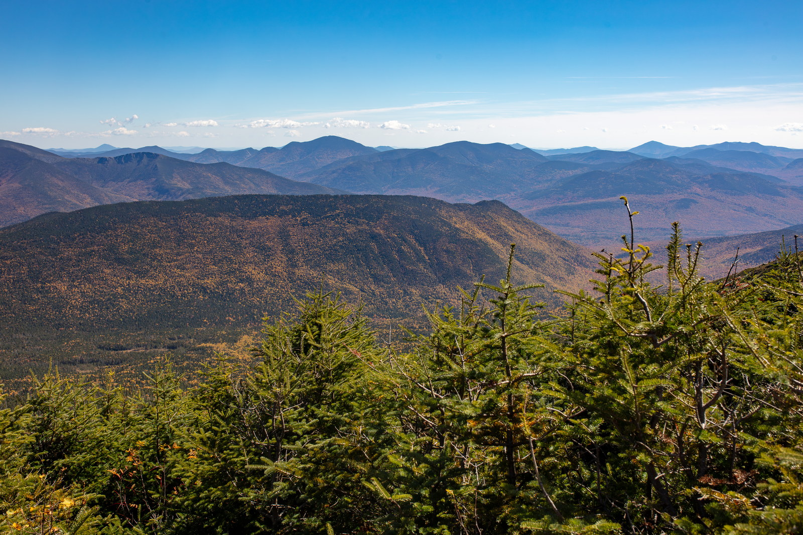
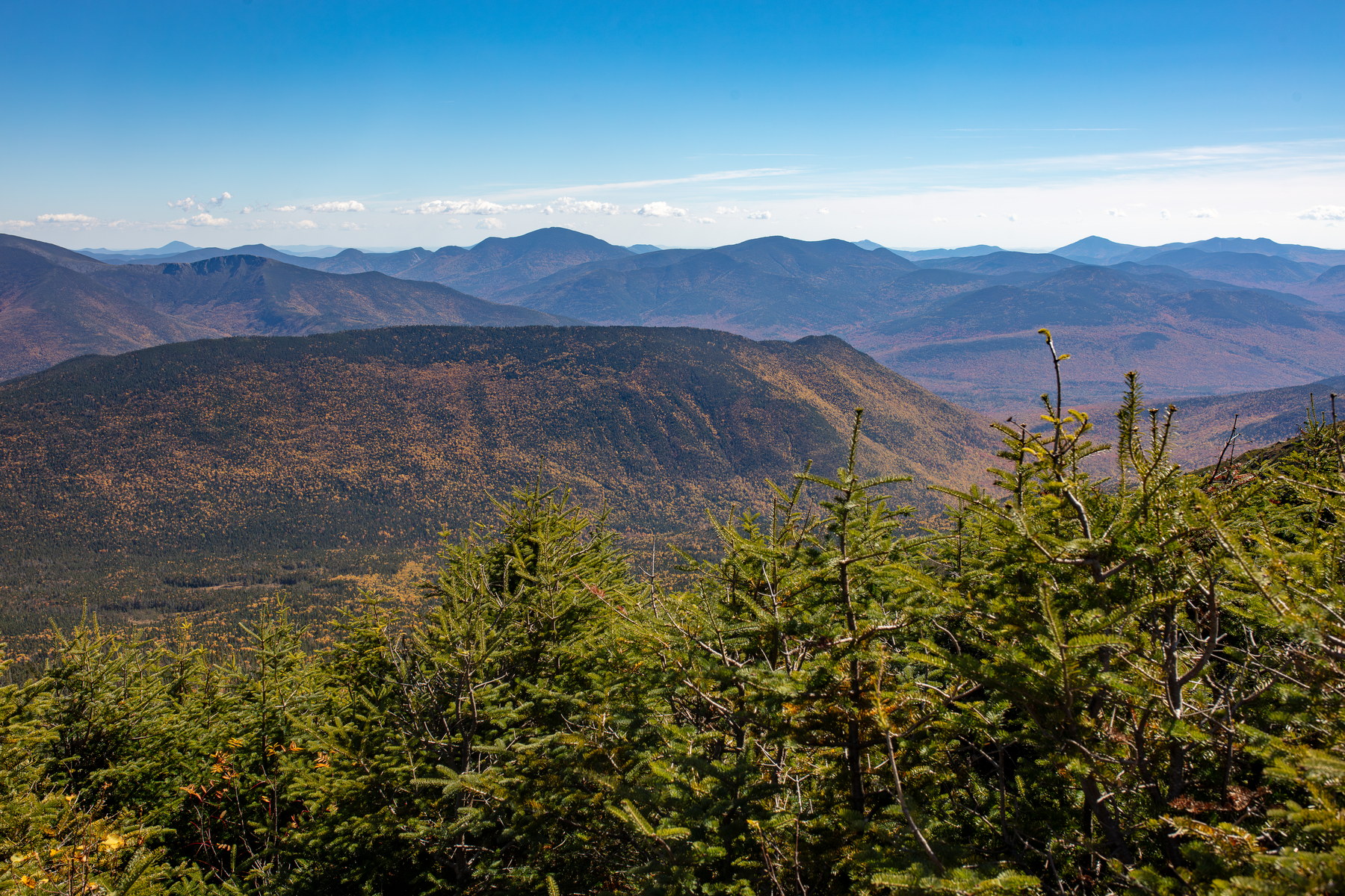 Owl's Head Summit Vista in Fall
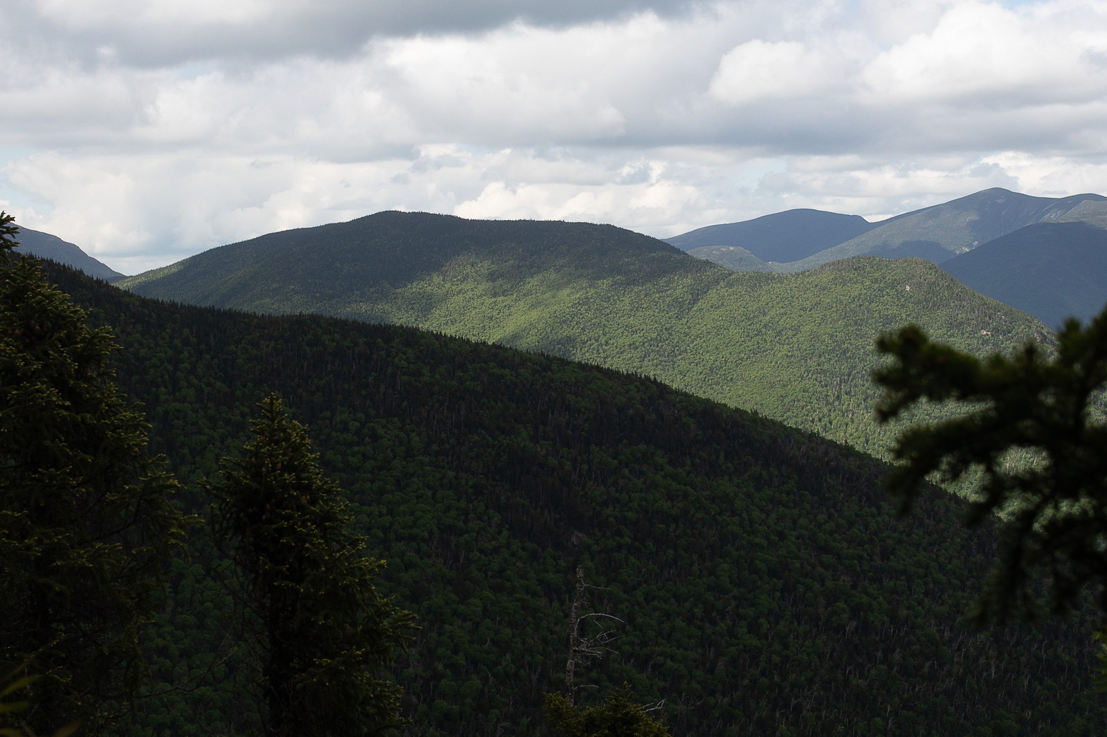
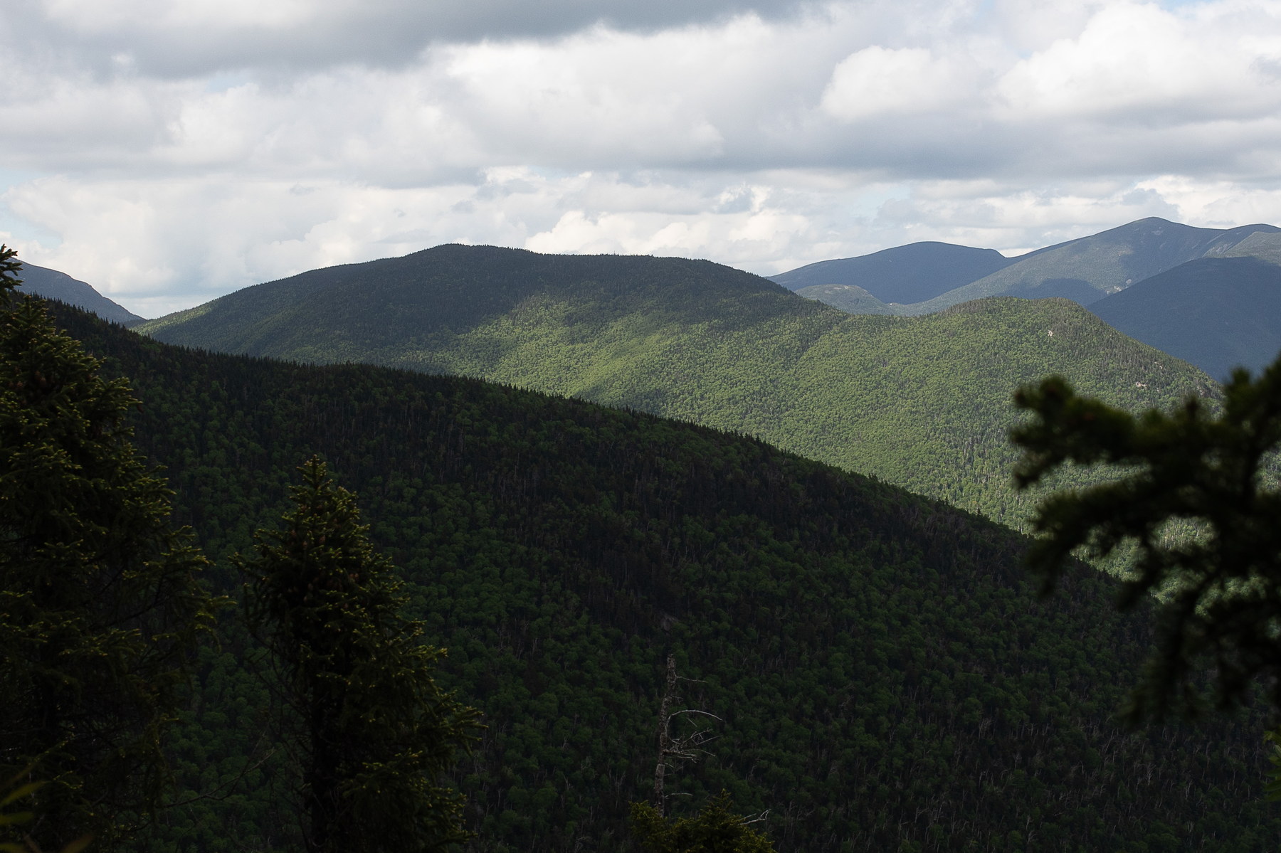 Afternoon Light on Owl's Head Ridge
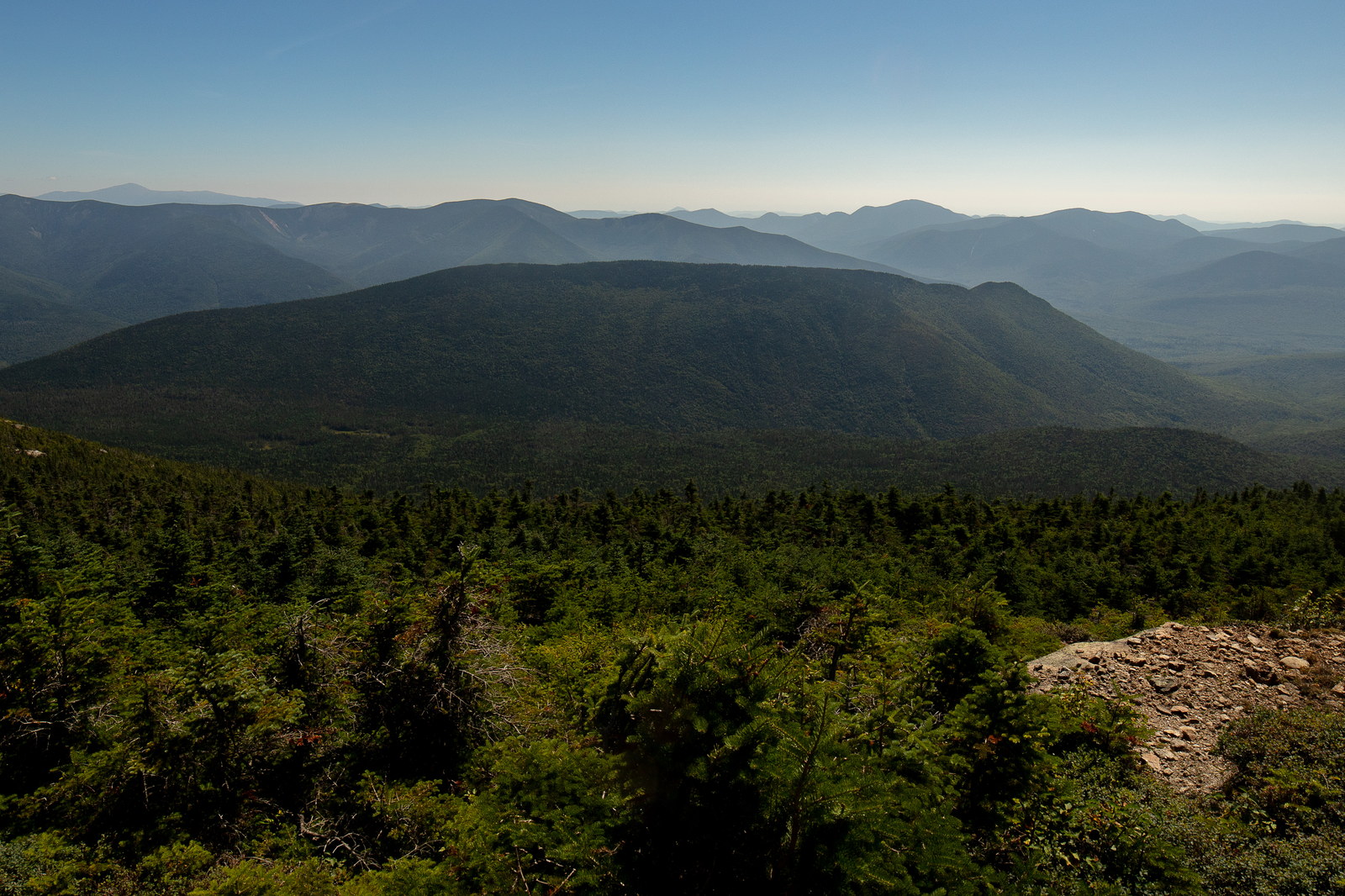
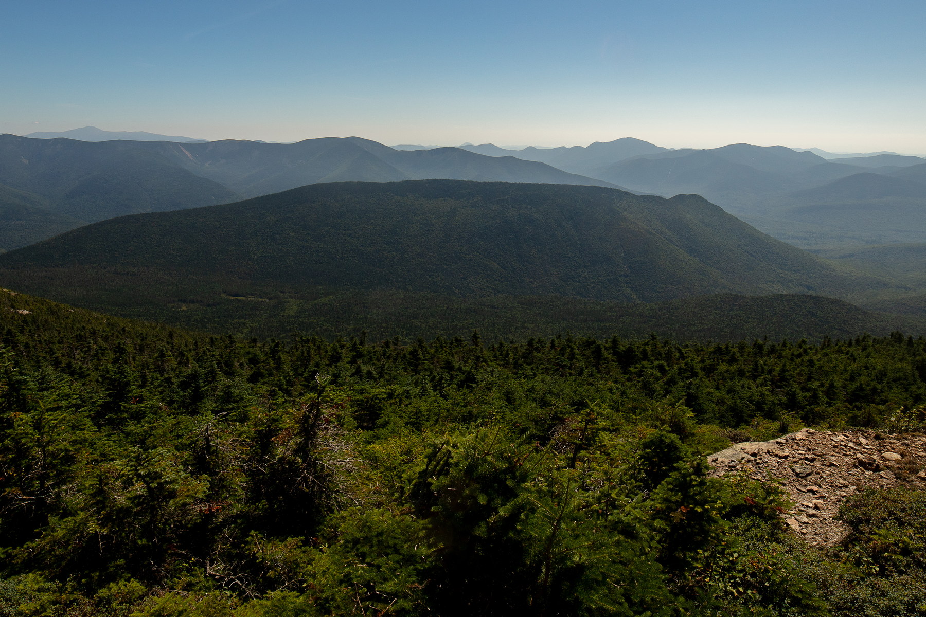 Morning Clarity over Owl's Head Ridge
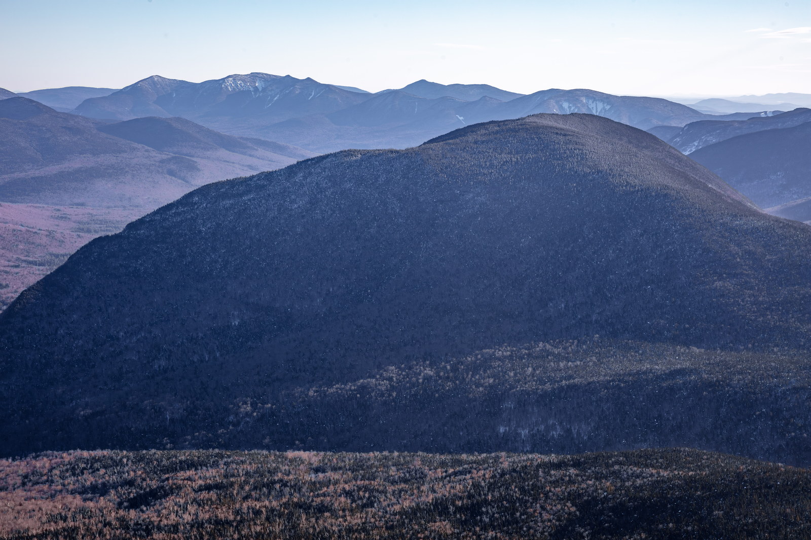
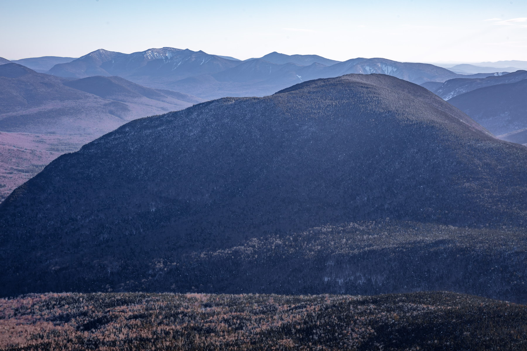 Winter Afternoon Haze on Owl's Head Ridge
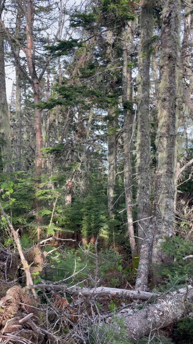 Lichen-Draped Forest on Owl's Head
Open video page
Lichen-Draped Forest on Owl's Head
Open video page
NH48 stylized terrain with summit marker, contours, and nearby trails.
Static map preview
Owl's Head: summit area with linked trail context.
NOAA / NWS point forecast for this summit location.
Live summit weather is temporarily unavailable. Static trip-planning guidance remains available below.
Sun and moon timing for this peak.
Astronomy timing is temporarily unavailable.
Stream context
Drainage context only, not a crossing safety decision. 1 linked water reference; expand a row for sources and notes.
Route note: Yes - Franconia Brook, Lincoln Brook along much of approach; plentiful water until climb up slide.
StationEAST BRANCH PEMIGEWASSET RIVER AT LINCOLN, NH • 01074520
Strong Lincoln Woods and East Branch Pemigewasset context for Owl's Head, Liberty-Flume, and broader Franconia / Pemigewasset access days.
Treat rising, stale, modeled, or missing readings conservatively.
Verify official sources and posted signs before driving to a trailhead.