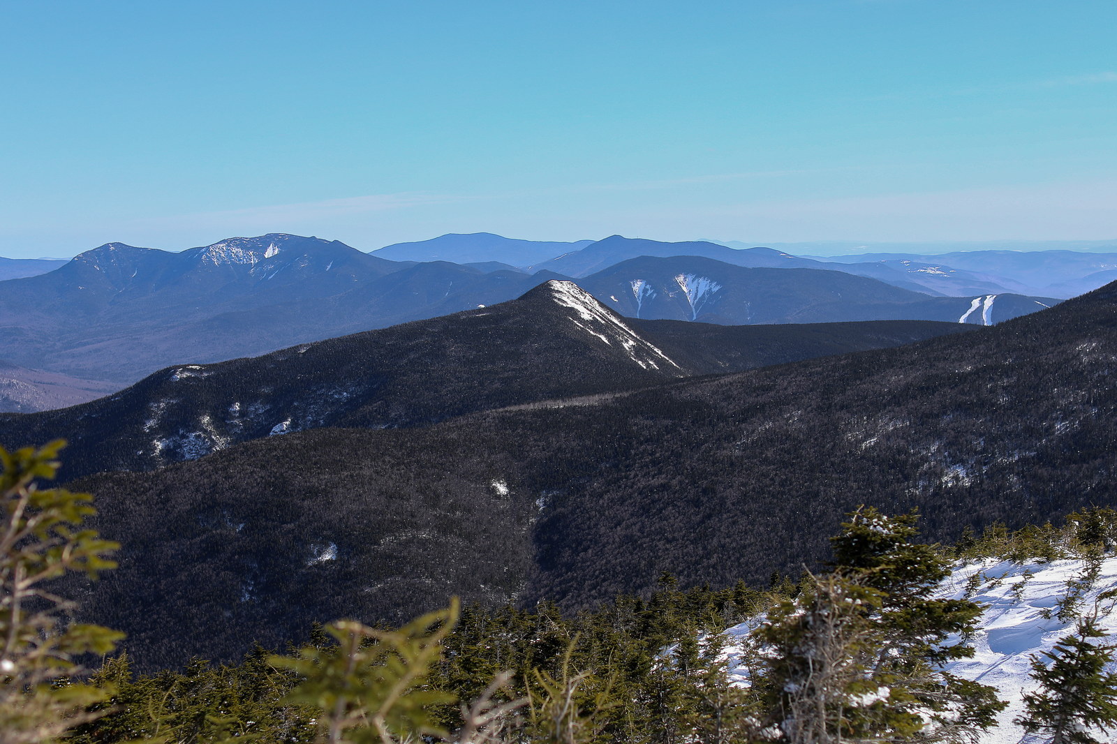
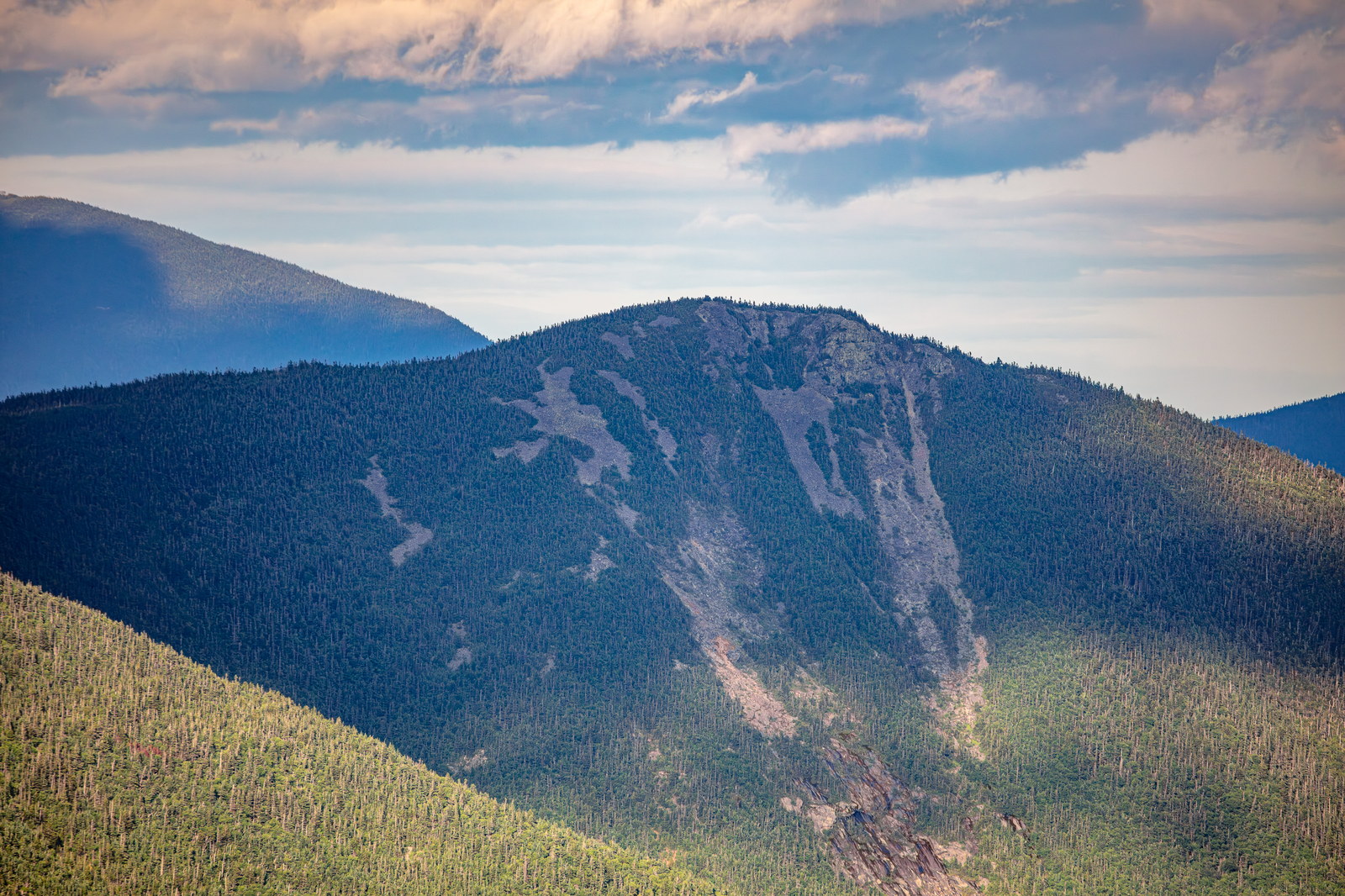
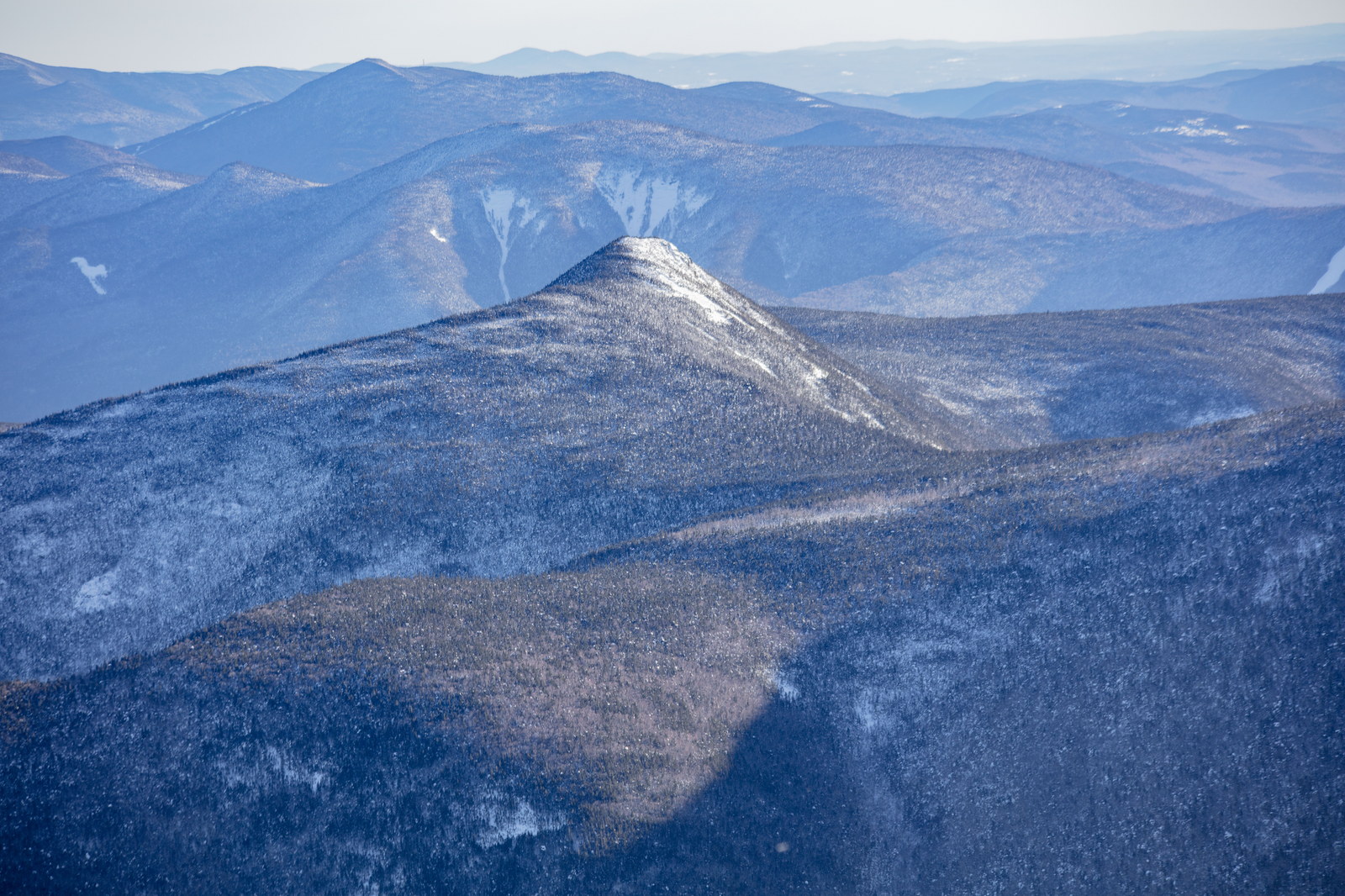
Mount Flume is a 4,328-foot mountain in the Franconia Range of the White Mountains, lying at the southern end of Franconia Ridge in Grafton County, New Hampshire. It overlooks Franconia Notch and is known for its steep, triangular-shaped summit profile. The summit of Mount Flume is partly open and provides excellent views, especially north along Franconia Ridge to Mount Liberty, Mount Lincoln, and Mount Lafayette, and east into the Pemigewasset Wilderness. It is commonly hiked as part of the Franconia Ridge loop or via the Flume Slide Trail (a very steep route) or the more gradual Osseo Trail. Mount Flume is the southernmost peak on Franconia Ridge, famous for its steep triangular profile and dramatic drop-offs. The mountain gets its name from the Flume Gorge, a spectacular narrow chasm at its north base. The Flume Gorge was accidentally discovered in 1808 by 93-year-old “Aunt” Jess Guernsey while she was fishing. Her discovery quickly became a tourist attraction in the 19th century, and the name “The Flume” was given to the gorge and, by association, to the mountain. (A “flume” in mining parlance is a man-made chute, but here it described a natural water-carved slot through granite.) Before the name Mount Flume took hold, Flume, like Liberty and Lafayette, was considered one of the generic “Haystack” peaks by early settlers. As tourism grew, the distinctive name prevailed. In the late 1800s, the Profile & Franconia Notch Railroad brought visitors to the foot of Mount Flume; from there they could explore the Flume Gorge and even ascend the mountain via bridle path. A path was cut to the summit by the AMC around 1900. Another piece of history: the Flume Slide on Mount Flume’s west face – now a challenging trail route – is a landslide scar possibly created in a huge 1883 rainstorm (the same storm that altered Flume Gorge). Hikers in the early 20th century started ascending via this slide, and it became legendary for its difficulty. Today, Mount Flume is often climbed as part of the Franconia Ridge loop or via the Osseo Trail (built by the CCC in the 1940s). Standing on Flume’s little summit, one can gaze down at the green floor of Franconia Notch and imagine the awe of those first 19th-century tourists who made the trip to see the wonders of the Flume.