NOAA / NWS
Snapshot unavailable
Live summit weather is temporarily unavailable. Static trip-planning guidance remains available below.
Mount Liberty is a 4,459-foot mountain in the Franconia Range of the White Mountains.
Mount Liberty
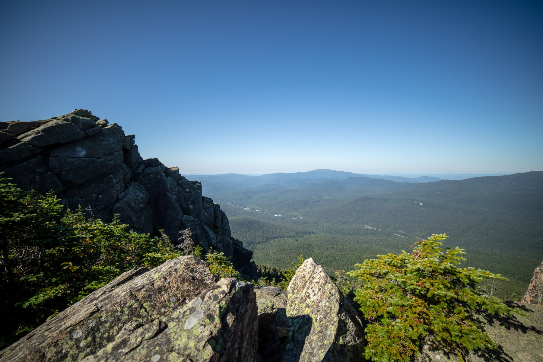
 Sunset Glow on Mount Liberty Ridge
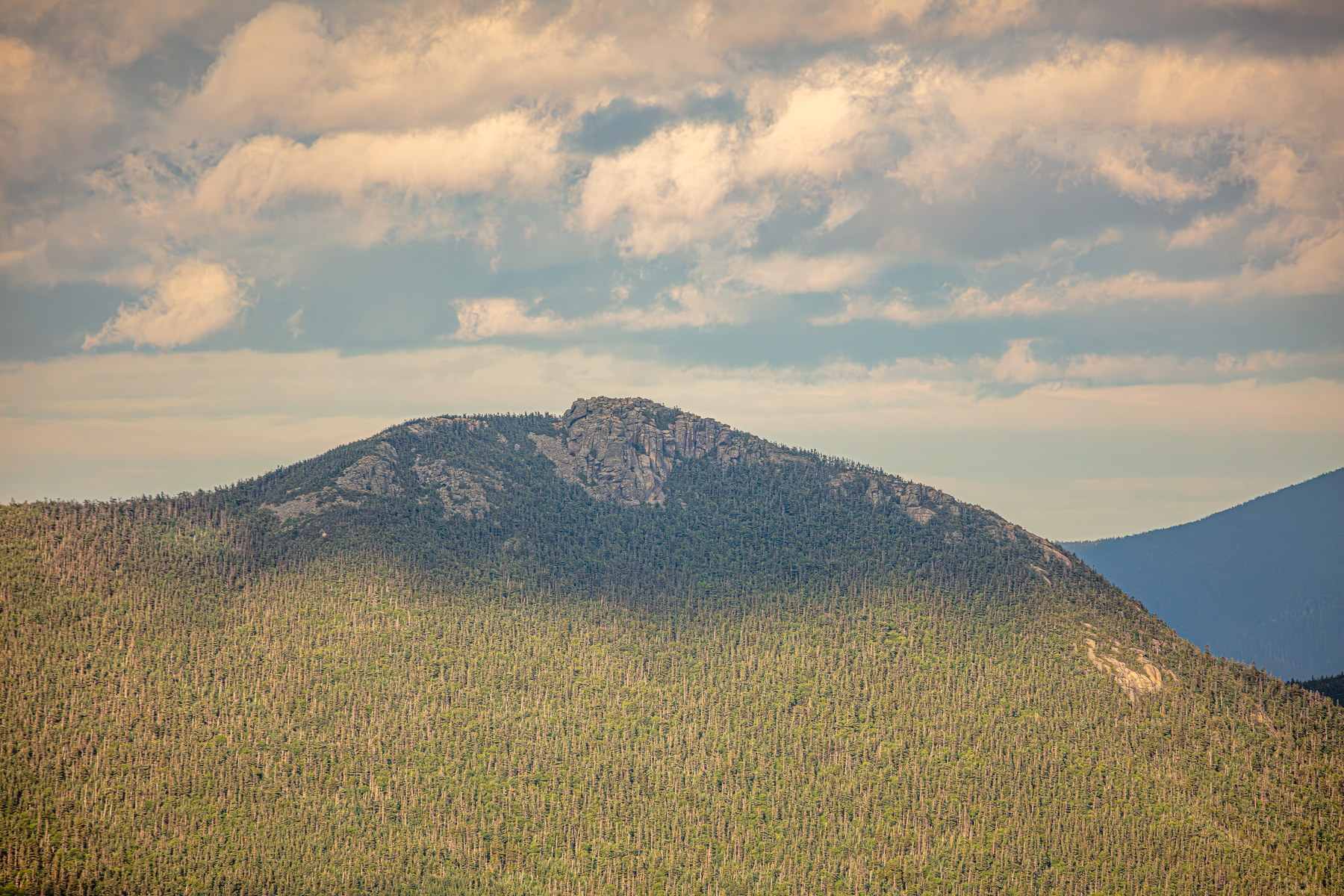
 Morning Clarity from Mount Liberty Summit
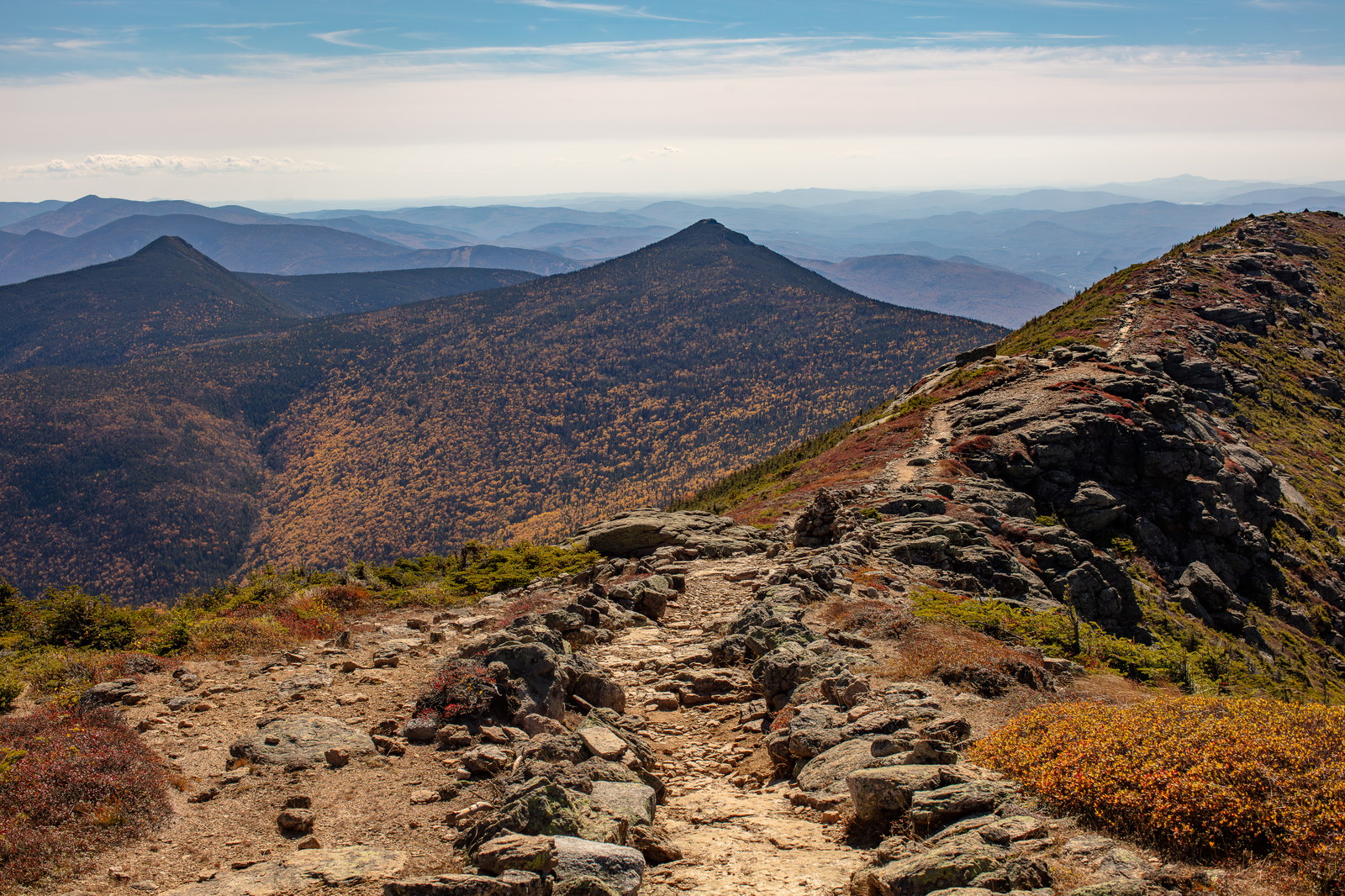
 Rocky Trail Along Mount Liberty Ridge
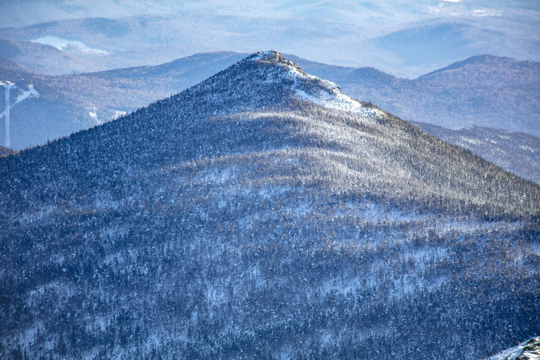 Winter Light Patterns on Mount Liberty
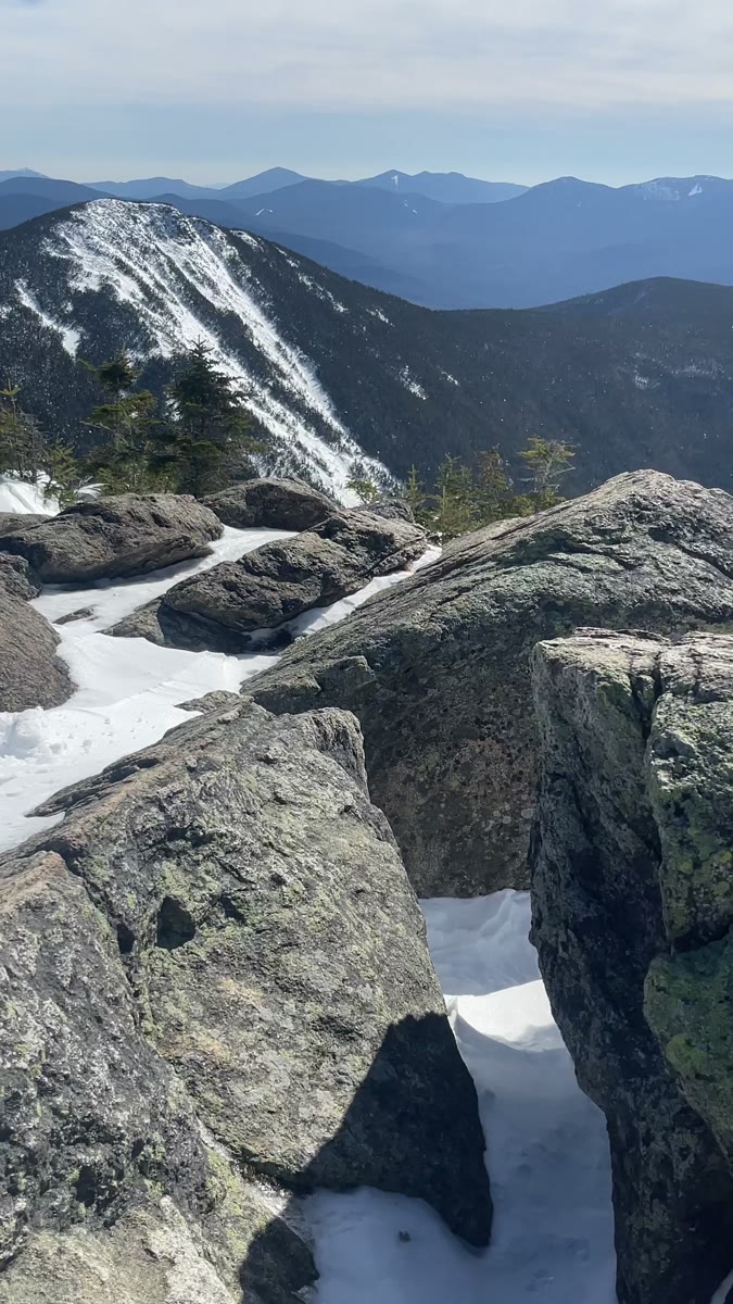 Snow Between Granite Blocks on Mount Liberty
Open video page
Snow Between Granite Blocks on Mount Liberty
Open video page
NH48 stylized terrain with summit marker, contours, and nearby trails.
Static map preview
Mount Liberty: summit area with linked trail context.
NOAA / NWS point forecast for this summit location.
Live summit weather is temporarily unavailable. Static trip-planning guidance remains available below.
Sun and moon timing for this peak.
Astronomy timing is temporarily unavailable.
Stream context
Drainage context only, not a crossing safety decision. 2 linked water references; expand a row for sources and notes.
Route note: Yes - Liberty Spring near Liberty Spring Tentsite ~2.5 mi up trail is a reliable water source.
StationEAST BRANCH PEMIGEWASSET RIVER AT LINCOLN, NH • 01074520
Strong Lincoln Woods and East Branch Pemigewasset context for Owl's Head, Liberty-Flume, and broader Franconia / Pemigewasset access days.
StationWILD AMMONOOSUC RIVER AT NH 116, NEAR BATH, NH • 01137975
Wild Ammonoosuc context for Moosilauke, Kinsmans, and western Franconia foothill access roads and brook crossings.
Treat rising, stale, modeled, or missing readings conservatively.
Primary trailheads are linked, but no WMNF seasonal access-road dependency is currently linked to this route. This is common for state highways, AMC lots, ski-area lots, or year-round paved road access.
Verify official sources and posted signs before driving to a trailhead.