NOAA / NWS
Snapshot unavailable
Live summit weather is temporarily unavailable. Static trip-planning guidance remains available below.
Mount Willey is a 4,285-foot mountain in the Willey Range of the White Mountains, situated in Grafton County, New Hampshire.
Mount Willey
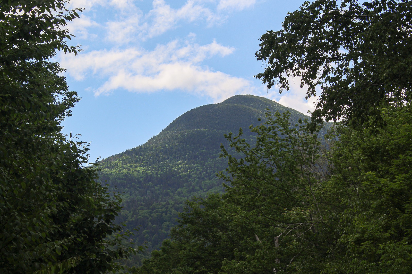
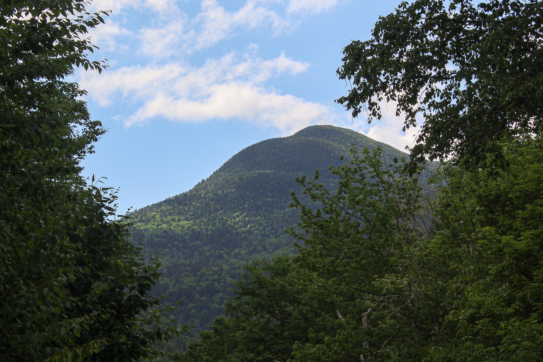 Sunlit Summit of Mount Willey
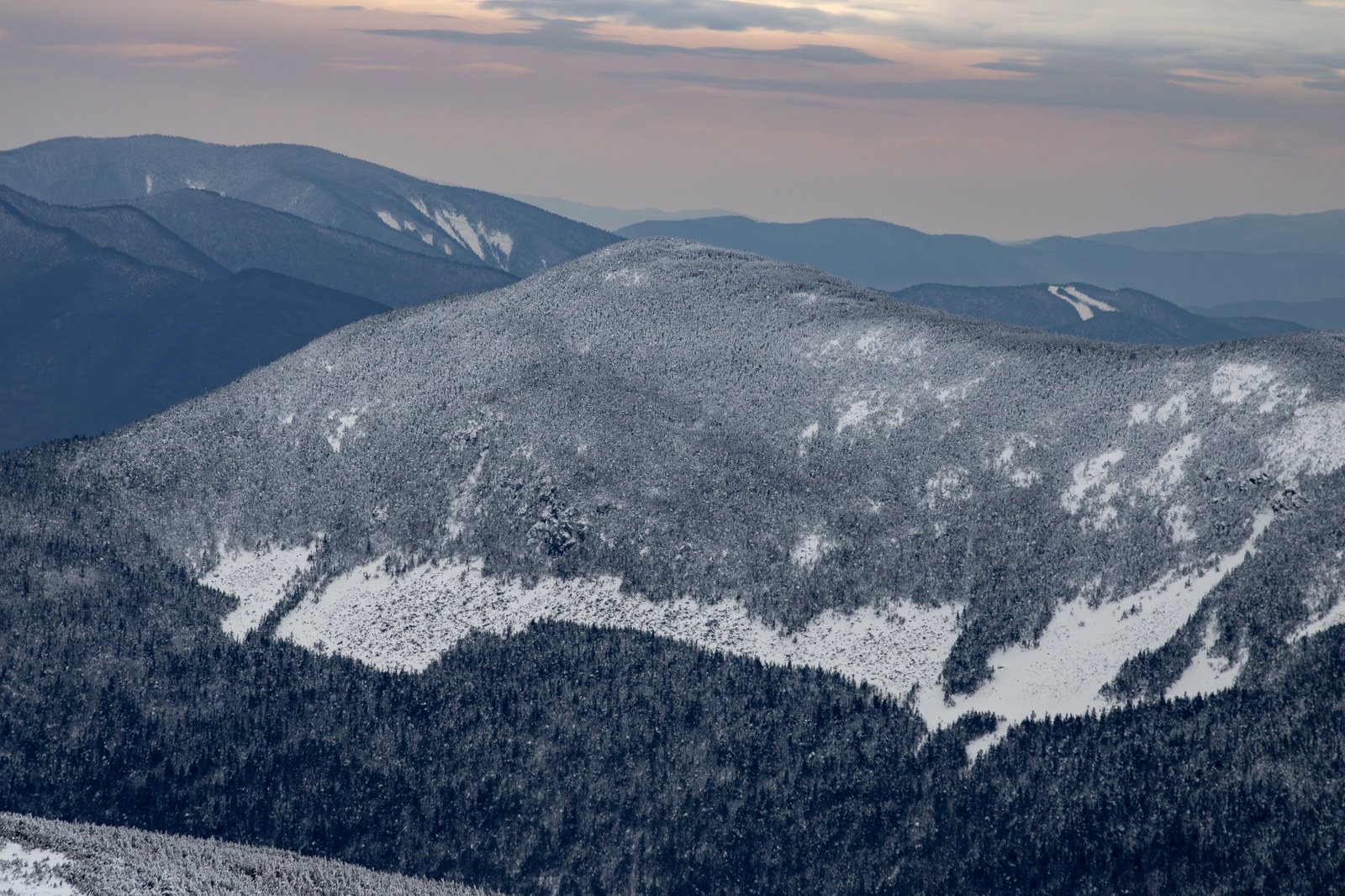
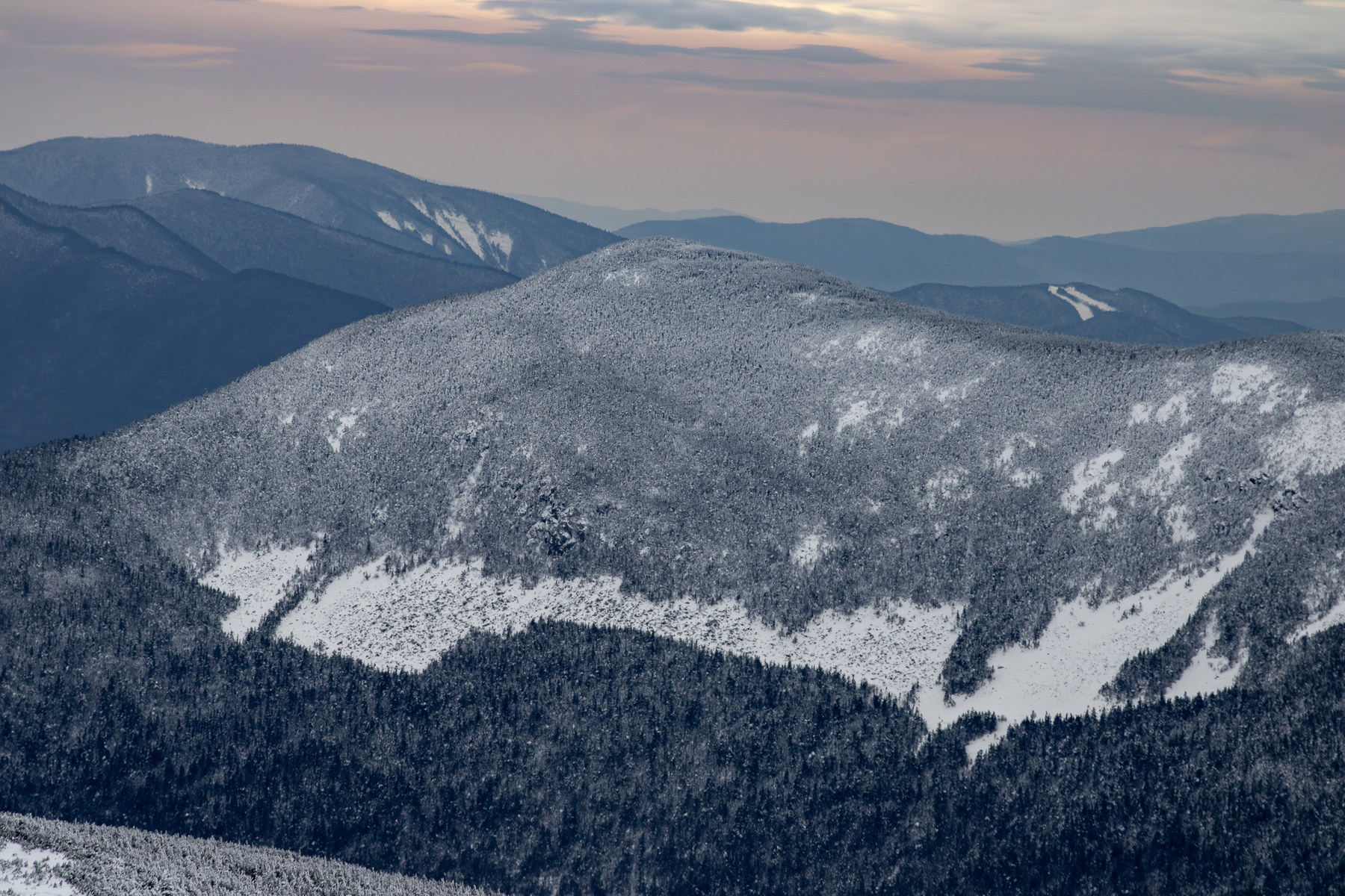 Winter Silhouettes of Mount Willey
NH48 stylized terrain with summit marker, contours, and nearby trails.
Static map preview
Mount Willey: summit area with linked trail context.
NOAA / NWS point forecast for this summit location.
Live summit weather is temporarily unavailable. Static trip-planning guidance remains available below.
Sun and moon timing for this peak.
Astronomy timing is temporarily unavailable.
Stream context
Drainage context only, not a crossing safety decision. 1 linked water reference; expand a row for sources and notes.
Route note: Yes - Kedron Brook near base; small brook by Ethan Pond Trail; no water on steep upper section.
StationAMMONOOSUC R @ BRETTON WOODS, NR TWIN MOUNTAIN, NH • 01136500
Ammonoosuc west-side context for the Presidential Range, Crawford Notch, and Bretton Woods approaches.
Treat rising, stale, modeled, or missing readings conservatively.
Primary trailheads are linked, but no WMNF seasonal access-road dependency is currently linked to this route. This is common for state highways, AMC lots, ski-area lots, or year-round paved road access.
Verify official sources and posted signs before driving to a trailhead.