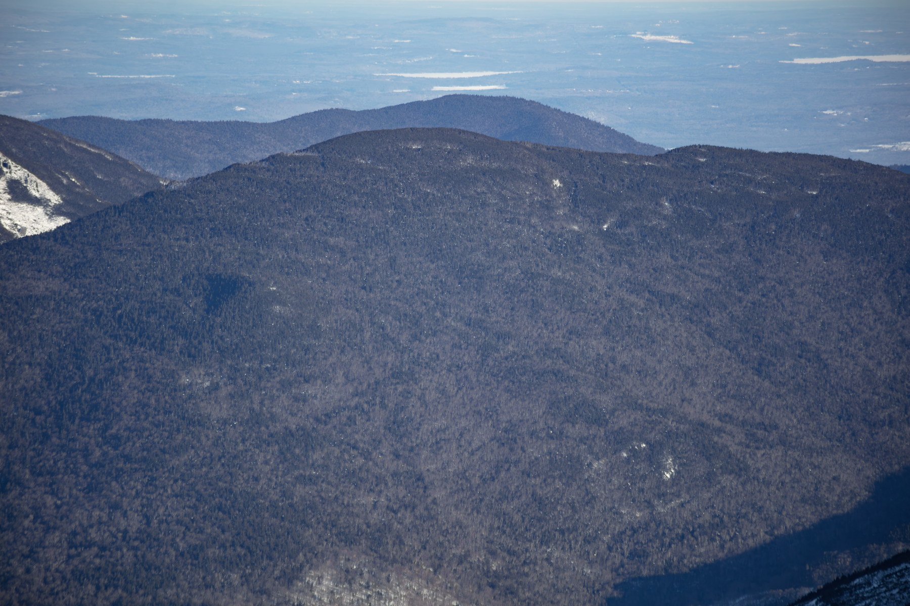
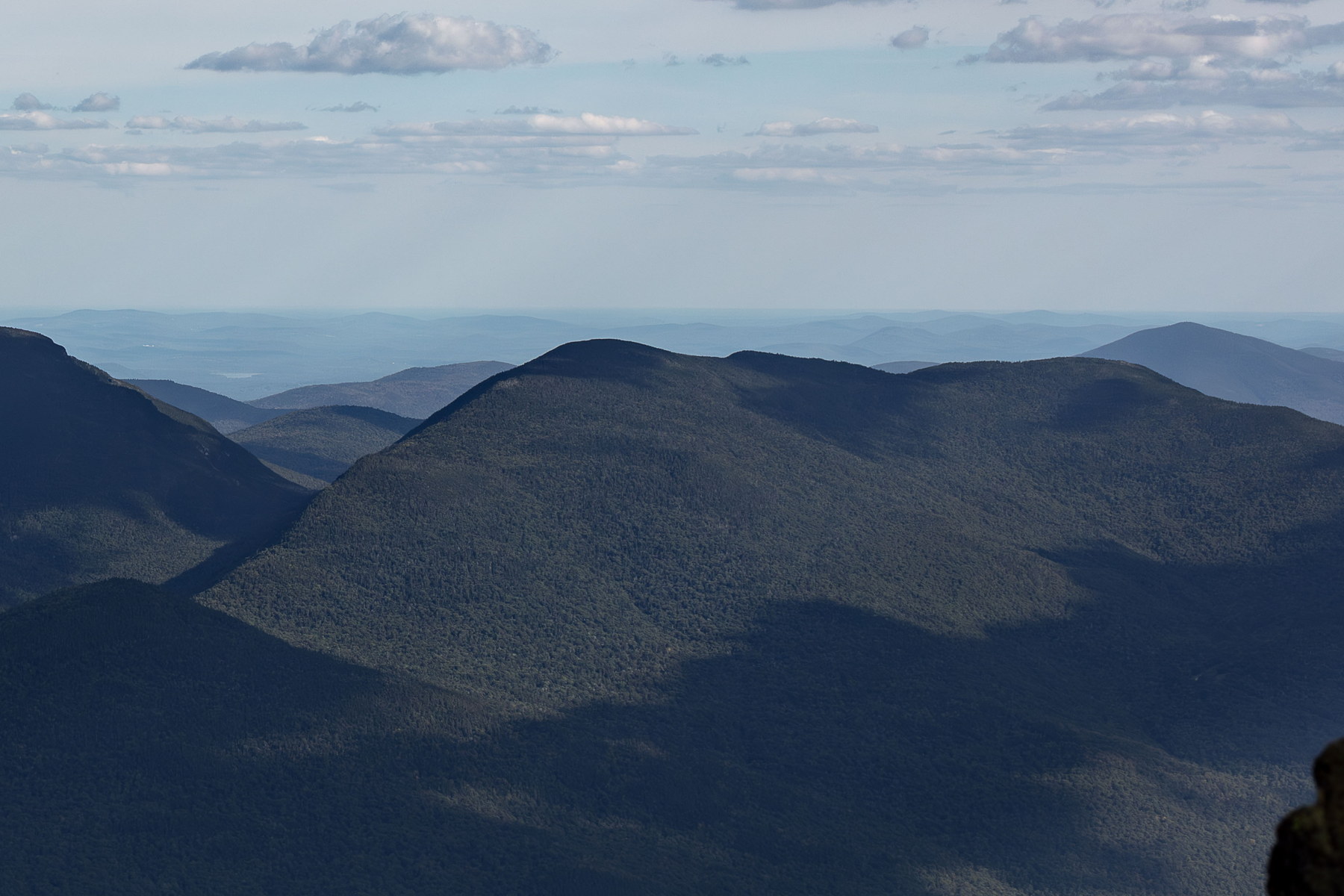
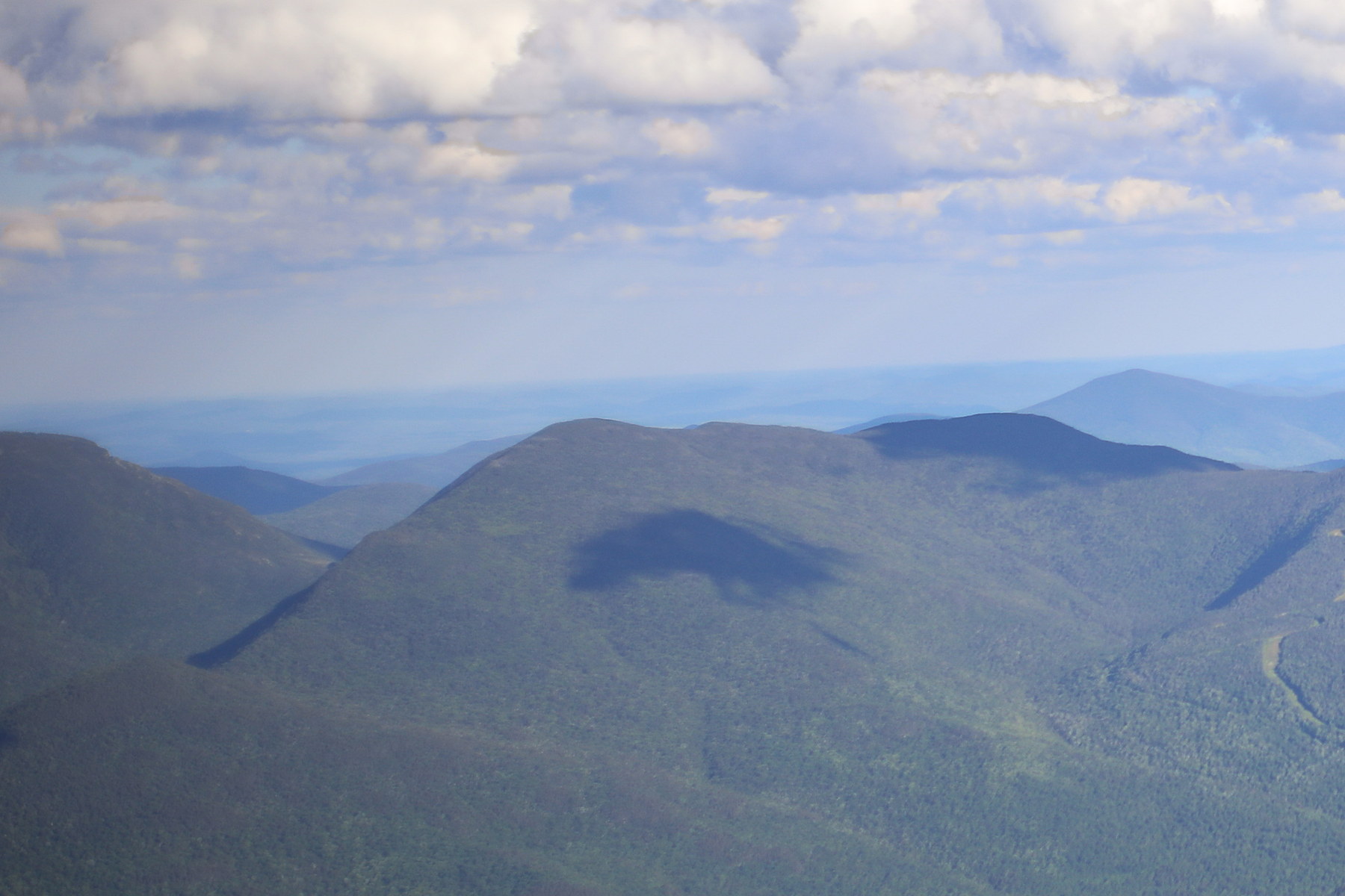
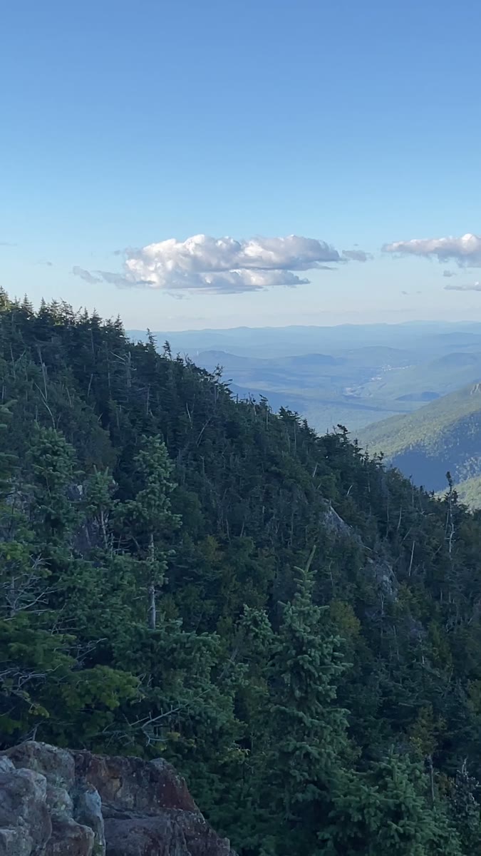
Wildcat Mountain “A” Peak is a 4,422-foot summit on the east side of Pinkham Notch in Coös County, New Hampshire. It is part of the Carter-Moriah Range of the White Mountains and faces Carter Dome across Carter Notch. Wildcat A is the highest of the multiple summits of Wildcat Mountain, and one of two (along with “D” Peak) that count as official 4,000-footers. The summit of Wildcat A is wooded, but a ledge near the top provides a dramatic overlook of Carter Notch and the steep eastern slopes of Mount Washington. Wildcat Mountain “A” Peak is the highest of the five summits along Wildcat Ridge, which runs on the east side of Pinkham Notch facing Mount Washington. The Wildcats were named for the mountain lions (catamounts) that once roamed these mountains – “wildcat” was a common term in the 19th century for these now-extirpated predators. Early maps label the ridge simply as “Wild Cat.” The peaks are lettered A through E by modern convention, and only Wildcat A and D count as official 4,000-footers (the others are lower). Wildcat A has a wooded summit, but a short distance below it is a ledge with a dramatic overlook of Carter Notch – one of the most famous views in the Whites. This overlook allows one to peer down at the tiny Carter Lake and the AMC’s Carter Notch Hut, with the steep cliffs of Wildcat’s eastern faces and Carter Dome looming opposite. That very scene was a well-known attraction as far back as the 1850s, when adventurers would scramble up from Jackson to peer into the notch. Wildcat A itself doesn’t have roads or buildings, but it has seen its share of trail development: the Wildcat Ridge Trail (now part of the Appalachian Trail) was cut by the AMC in the early 1900s, and the first recorded thru-hike of the Wildcats was in 1911. Logging touched the base of Wildcat in the late 1800s, but its crest remained largely wild. Today, while Wildcat D hosts the ski area infrastructure, Wildcat A remains wild, letting hikers experience a piece of the 19th-century wilderness vista that so impressed those early travelers.