NOAA / NWS
Snapshot unavailable
Live summit weather is temporarily unavailable. Static trip-planning guidance remains available below.
Mount Tecumseh is a 4,003-foot mountain in Grafton County, New Hampshire.
Mount Tecumseh
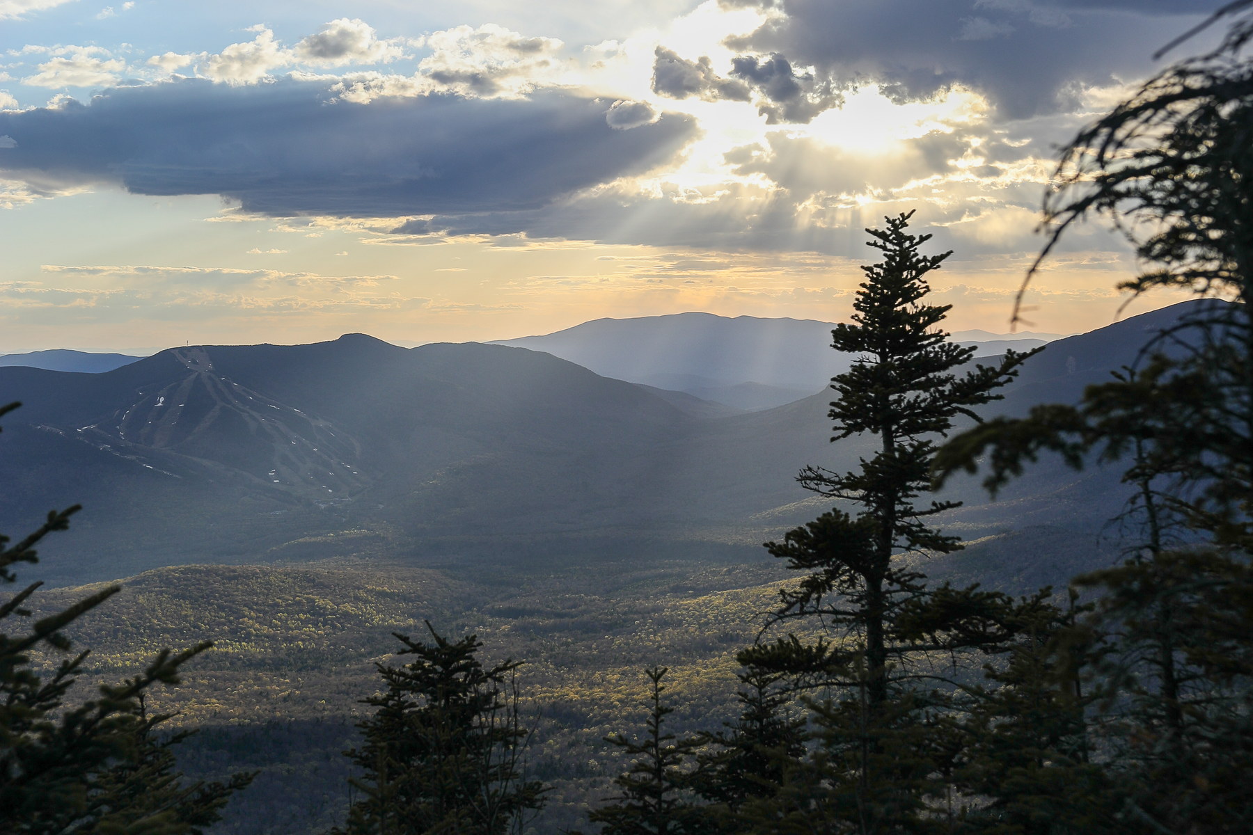 Sunset Rays Over Mount Tecumseh
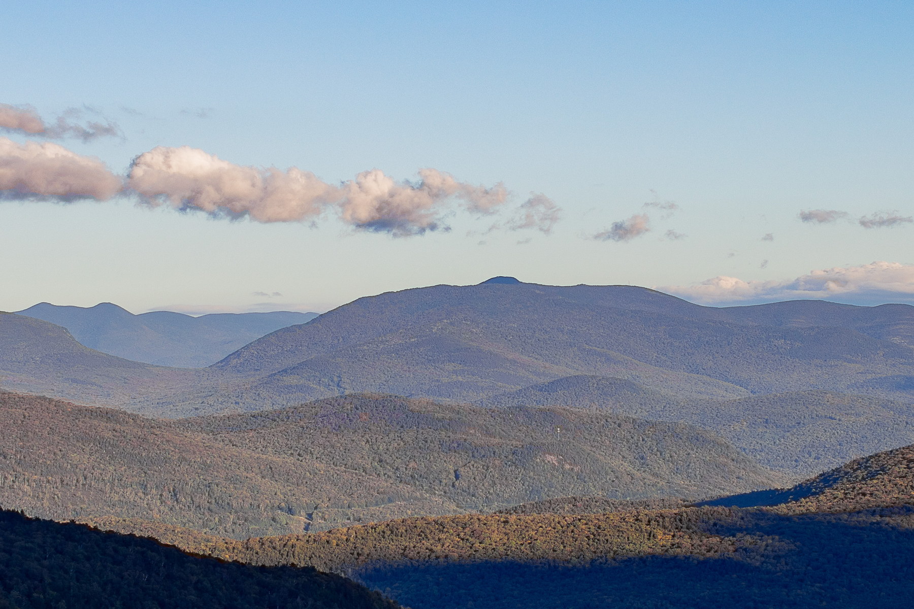
 Afternoon Shadows on Mount Tecumseh
 Golden Light on Mount Tecumseh Ridge
 Late Afternoon Calm Over Mount Tecumseh
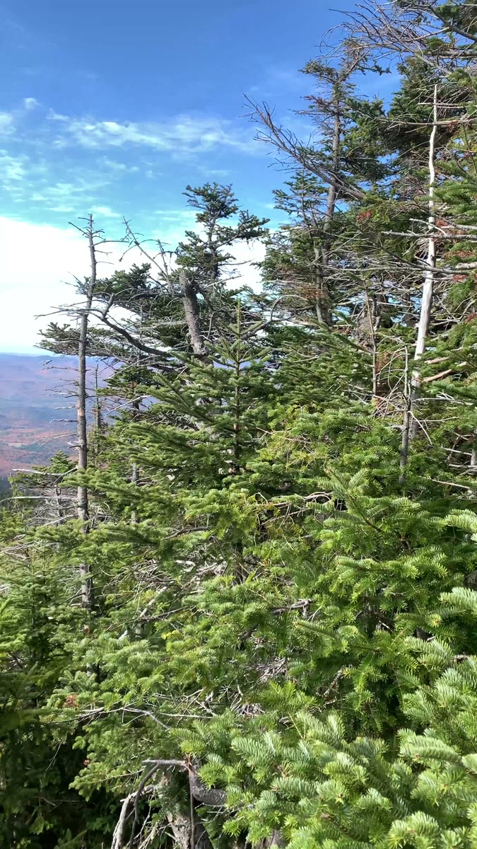 From Summit Fir to Open Ridges on Mount Tecumseh
Open video page
From Summit Fir to Open Ridges on Mount Tecumseh
Open video page
NH48 stylized terrain with summit marker, contours, and nearby trails.
Static map preview
Mount Tecumseh: summit area with linked trail context.
NOAA / NWS point forecast for this summit location.
Live summit weather is temporarily unavailable. Static trip-planning guidance remains available below.
Sun and moon timing for this peak.
Astronomy timing is temporarily unavailable.
Stream context
Drainage context only, not a crossing safety decision. 3 linked water references; expand a row for sources and notes.
Route note: Yes - Tecumseh Brook runs alongside lower trail for first mile or so on Waterville side; small streams on Tripoli side as well.
StationPEMIGEWASSET RIVER AT WOODSTOCK, NH • 01075000
StationBAKER RIVER NEAR RUMNEY, NH • 01076000
StationCOLD RIVER AT NH 113 BRIDGE NEAR N SANDWICH, NH • 01064795
Useful lower-valley Cold River signal for Sandwich Range trailheads and north Sandwich approach roads after storms.
Treat rising, stale, modeled, or missing readings conservatively.
Primary trailheads are linked, but no WMNF seasonal access-road dependency is currently linked to this route. This is common for state highways, AMC lots, ski-area lots, or year-round paved road access.
Verify official sources and posted signs before driving to a trailhead.


