NOAA / NWS
Snapshot unavailable
Live summit weather is temporarily unavailable. Static trip-planning guidance remains available below.
South Hancock is a 4,319-foot peak in Grafton County, New Hampshire.
Mount Hancock - South Peak.
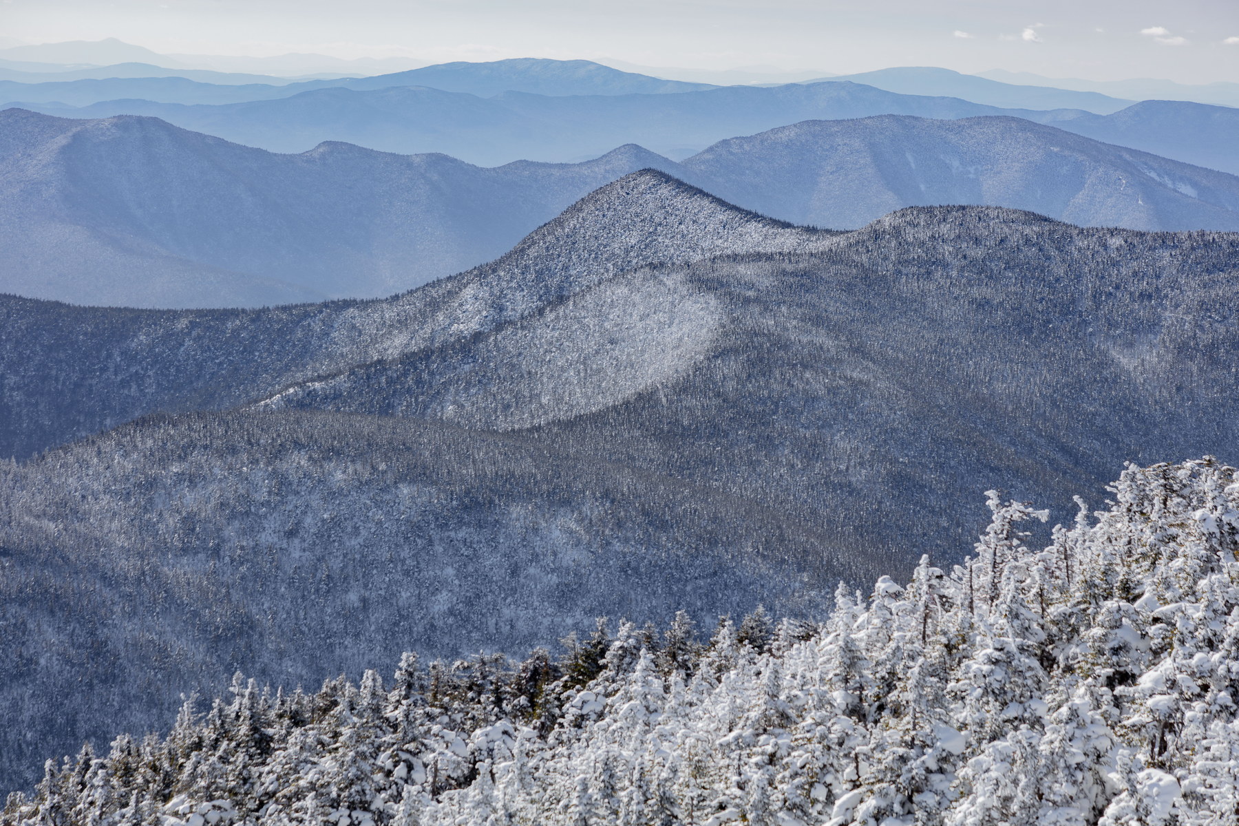 Winter Light on Mount Hancock South Peak
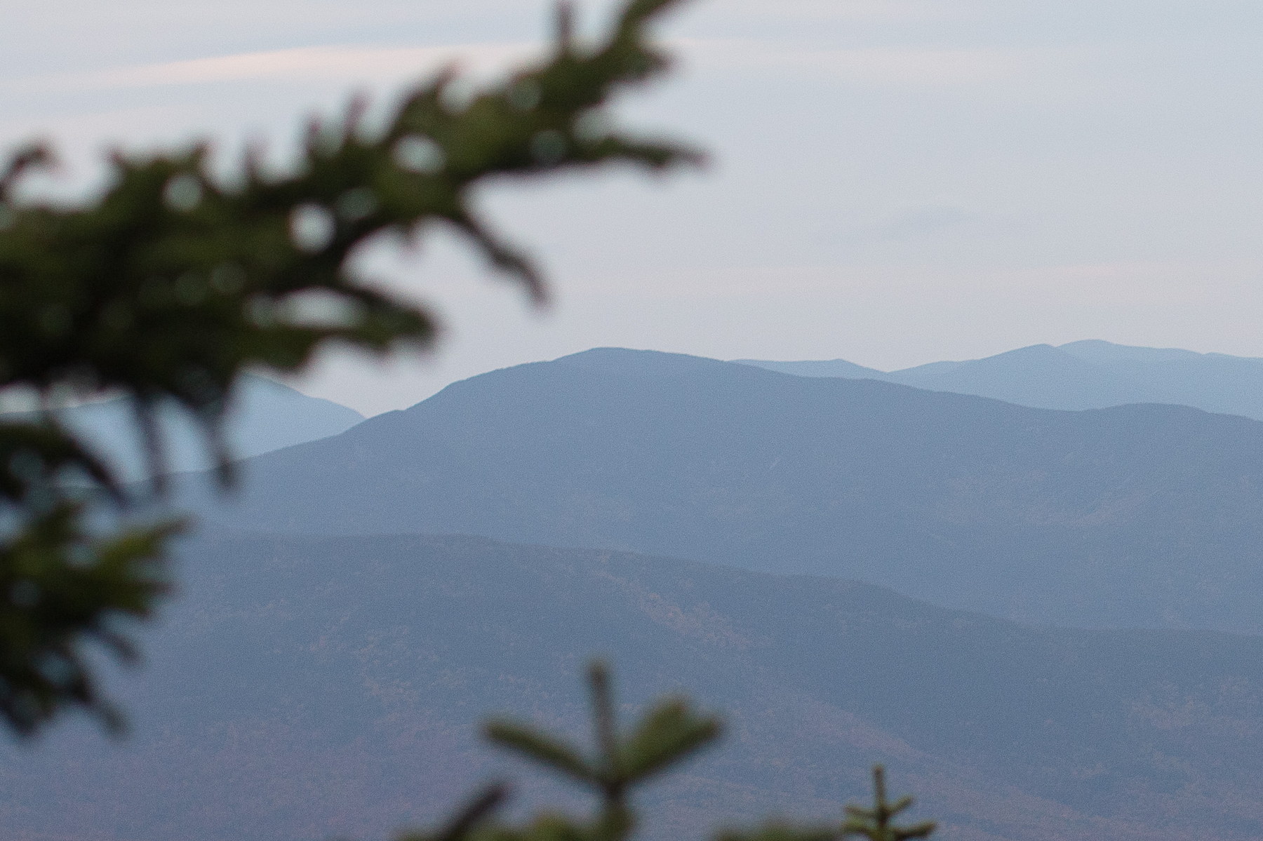
 Morning Haze Over Mount Hancock South Peak
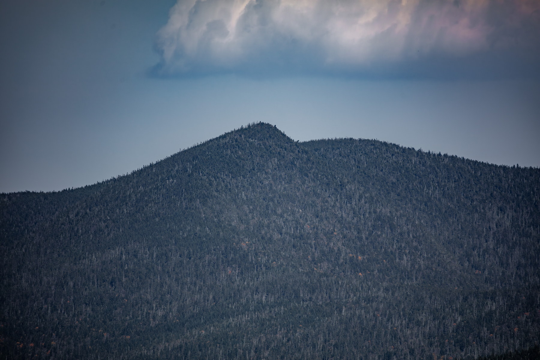 Afternoon Shadows on Mount Hancock South Peak
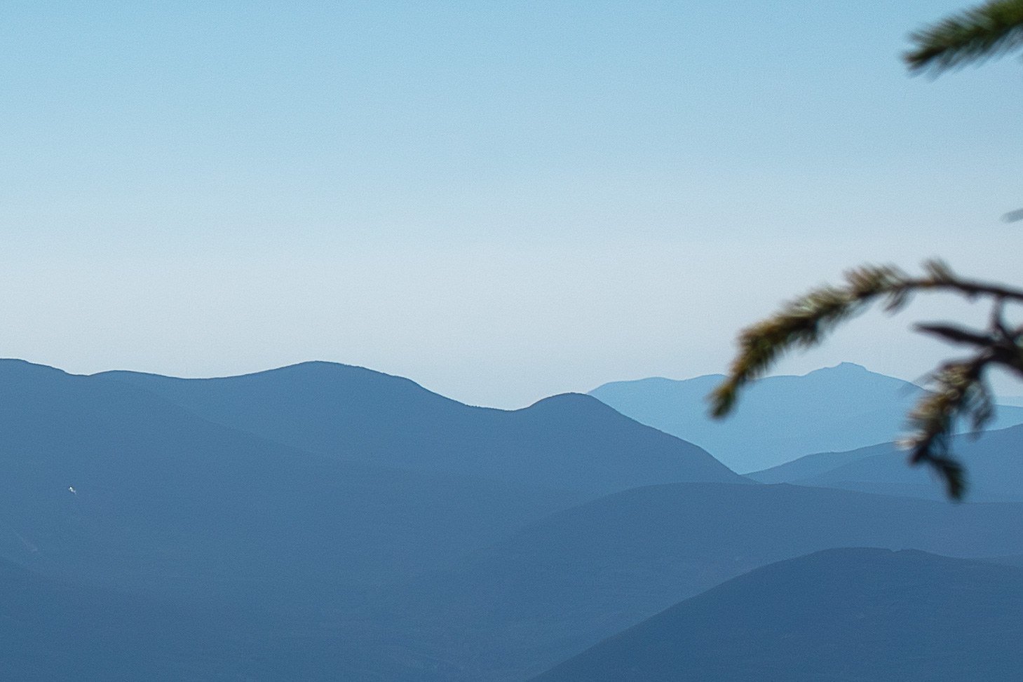
 Evening Silhouettes of Mount Hancock South Peak
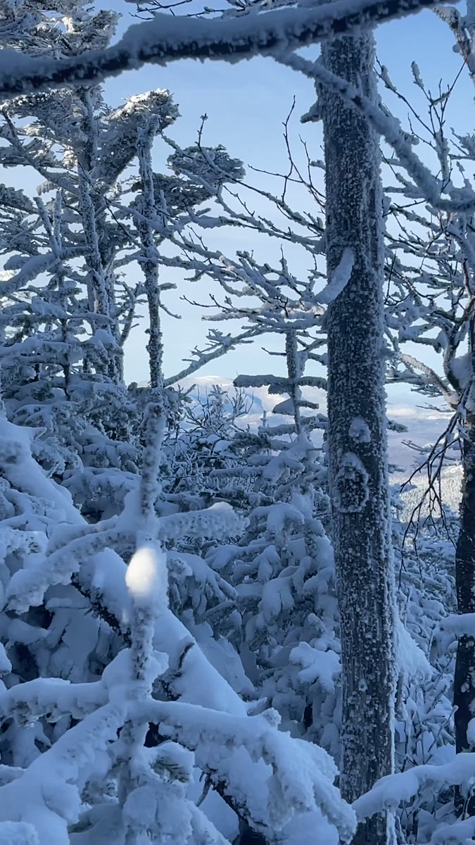 Rime-Framed Winter Ridges on South Hancock
Open video page
Rime-Framed Winter Ridges on South Hancock
Open video page
NH48 stylized terrain with summit marker, contours, and nearby trails.
Static map preview
Mount Hancock - South Peak.: summit area with linked trail context.
NOAA / NWS point forecast for this summit location.
Live summit weather is temporarily unavailable. Static trip-planning guidance remains available below.
Sun and moon timing for this peak.
Astronomy timing is temporarily unavailable.
Stream context
Drainage context only, not a crossing safety decision. 2 linked water references; expand a row for sources and notes.
Route note: Yes – streams along Hancock Notch and Cedar Brook Trails during the first half of the loop; none on the ridge
StationHANCOCK BRANCH 1.5 MI ABOVE MOUTH, NR LINCOLN, NH • 01074200
Hancock Branch context for Hancock, Osceola, and East Branch side trips when brook crossings and Tripoli drainage are the main question.
StationSACO RIVER AT RIVER STREET, AT BARTLETT, NH • 010642505
Broad Bartlett valley context for Sawyer River, Rocky Branch, and Kanc-side access days after heavy rain.
Treat rising, stale, modeled, or missing readings conservatively.
Primary trailheads are linked, but no WMNF seasonal access-road dependency is currently linked to this route. This is common for state highways, AMC lots, ski-area lots, or year-round paved road access.
Verify official sources and posted signs before driving to a trailhead.