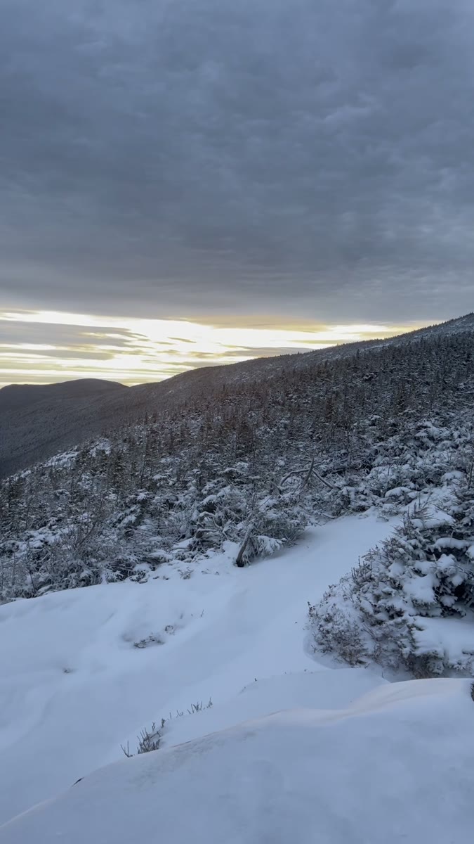
Mont Cannon

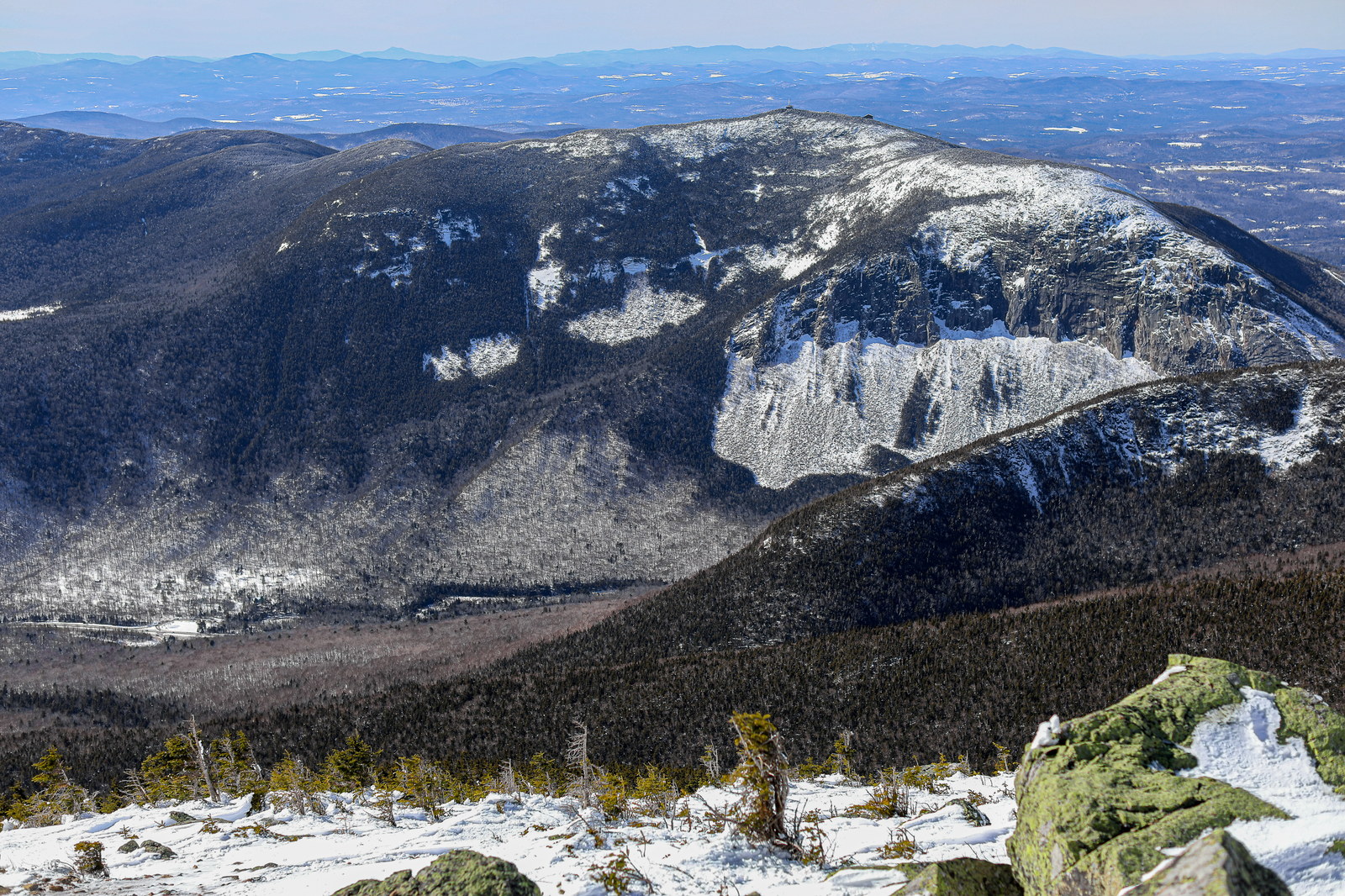
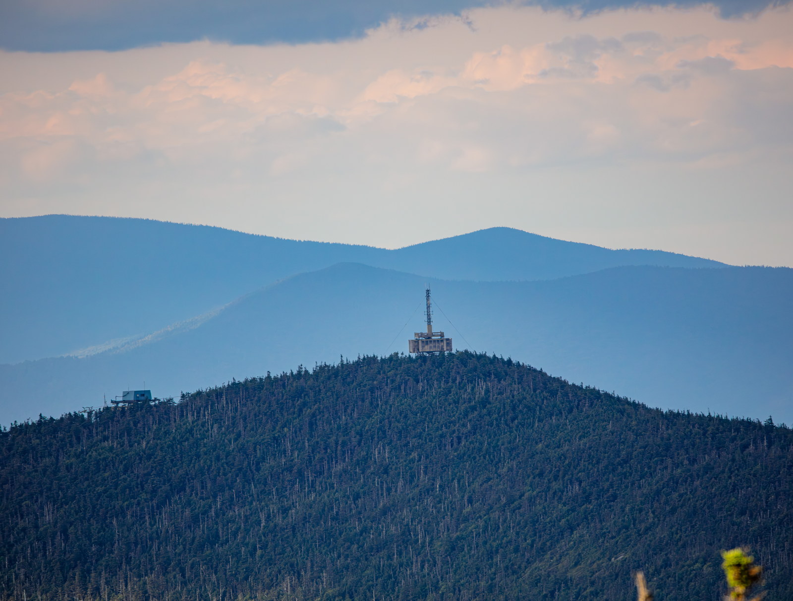
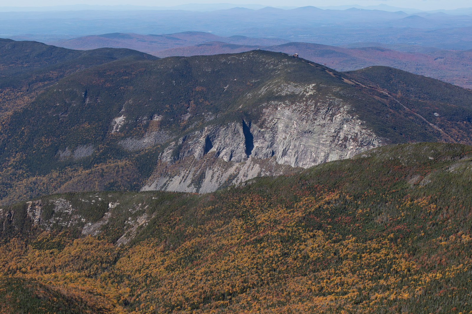
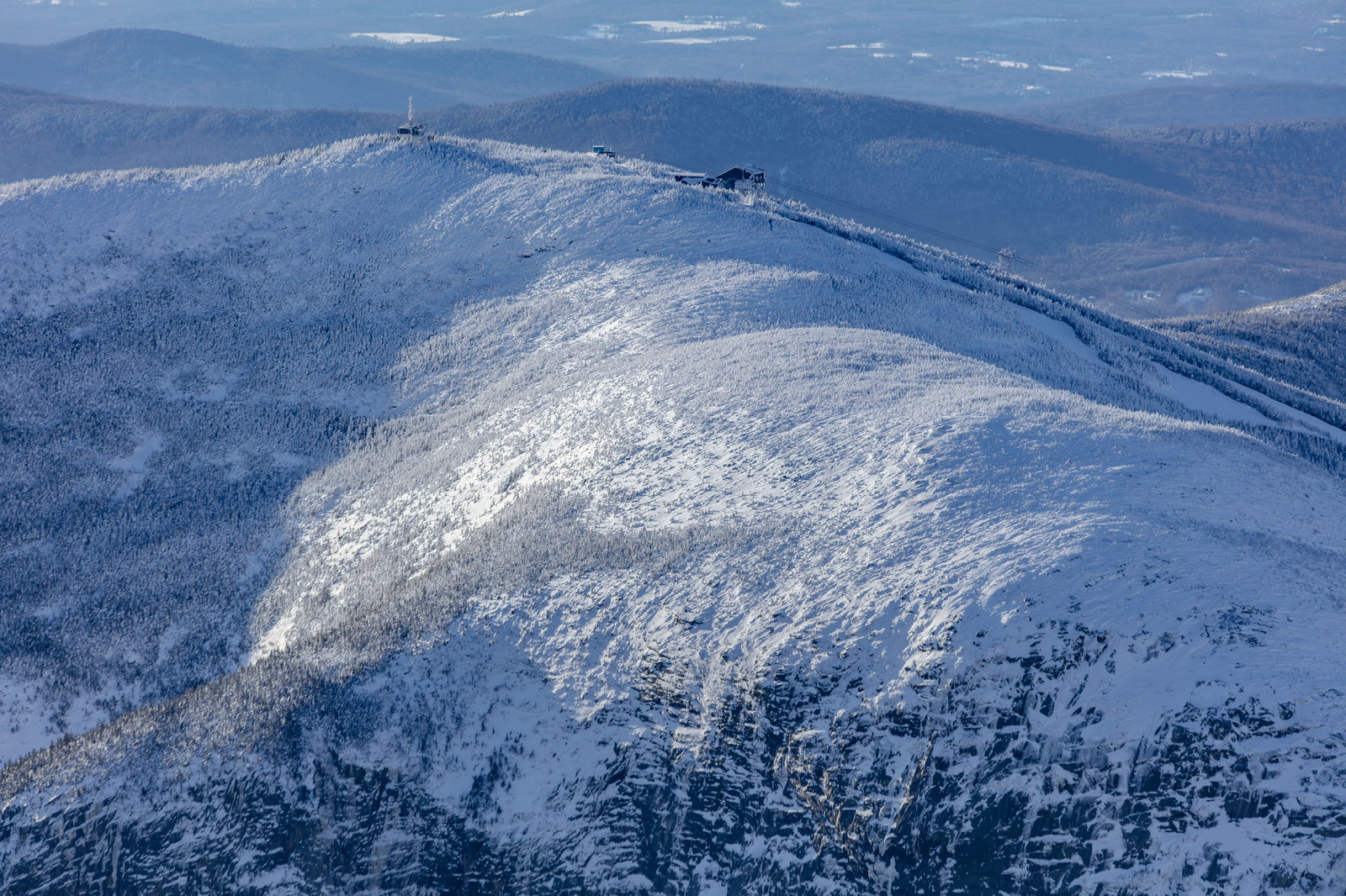
Mont Cannon dans Chaîne Kinsman culminant à 4,100 pi.

Proéminence: 757 ft Chaîne: Kinsman Range
Obtenir l’itinéraire
Altitude: 4,100 ft

Mont Cannon

Carte de la zone

Terrain stylise NH48 avec marqueur du sommet, courbes de niveau et sentiers a proximite.

Peak trail map

Apercu de la carte

Mont Cannon: sommet et liens de sentiers.

Sommet: 44.1566, -71.6988

Sentiers: Kinsman Ridge Trail, Lonesome Lake Trail, Hi-Cannon Trail, Kinsman Ridge Trail - via Lonesome Lake and Hi-Cannon.

Sentiers

Meteo actuelle au sommet

Apercu NOAA / NWS pour ce sommet.

NOAA / NWS Mis a jour Fri, Jul 31, 2:23 PM EDT
65°F
Partly Cloudy Lincoln, NH point forecast

Partly Cloudy
Vent5 mph NW
Rafales14 mph
Precip.8%
Humidite75%

Previsions sur 5 jours

Periodes jour et nuit NOAA / NWS pres du point de ce sommet.

Fri
Partly Cloudy
54°F
Partly Cloudy
Sat
Mostly Sunny
71°F / 58°F
Mostly Sunny
Sun
Mostly Cloudy then Slight Chance Rain Showers
71°F / 58°F
Mostly Cloudy then Slight Chance Rain Showers
Mon
Showers And Thunderstorms
66°F / 55°F
Showers And Thunderstorms
Tue
Mostly Sunny then Chance Rain Showers
70°F / 54°F
Mostly Sunny then Chance Rain Showers

Instantanes de prevision

Choisissez des instantanes horaires ou des points de controle aux 15 minutes.

Partly Cloudy
Fri 6:00 PM
Partly Cloudy

Partly Cloudy

Temp65°F
Wind5 mph NW
Gusts14 mph
Precip8%
Humidity75%

NOAA hourly forecast period

Primary NOAA point forecast coverage is available for this summit location.

Astronomie

Horaires du soleil et de la lune pour ce sommet.

USNOGenere Fri, Jul 31, 2:00 PM EDT

Jour/Nuit

Lever, duree du jour et coucher du soleil

Lever6:34 AM Duree du jour14h 38m Coucher9:12 PM
Lever du soleil
6:34 AM EDT
Coucher du soleil
9:12 PM EDT
Lever de lune
10:15 PM EDT
Coucher de lune
8:31 AM EDT
Phase lunaire
Waning Gibbous
96% illuminated

USNO astronomy is available for this summit.

Moyennes météo mensuelles

Contexte eau et traversées

Contexte des cours d’eau

Contexte de drainage seulement. 2 références d’eau liées; développez une ligne pour les sources et notes.

Note d’itinéraire: Yes - Lonesome Lake on route; otherwise no flowing eau on steep sections.

Oliverian Brook Aucune donnée courante

StationOLIVERIAN BROOK AT NH 25, NR EAST HAVERHILL, NH • 01139300

USGS Historical

Oliverian Brook context for Moosilauke south-side access and Oliverian Brook Trail conditions after rain.

  • Nearby live proxy: CONNECTICUT RIVER AT WELLS RIVER, VT • WELLS RIVER AT WELLS RIVER, VT
Source officielle
Wild Ammonoosuc River Aucune donnée courante

StationWILD AMMONOOSUC RIVER AT NH 116, NEAR BATH, NH • 01137975

USGS Historical

Wild Ammonoosuc context for Moosilauke, Kinsmans, and western Franconia foothill access roads and brook crossings.

  • Nearby live proxy: EAST BRANCH PEMIGEWASSET RIVER AT LINCOLN, NH • CONNECTICUT RIVER AT WELLS RIVER, VT
Source officielle

Interprétez prudemment toute donnée en hausse, périmée, modélisée ou manquante.

Sommets voisins et connexions

Stationnement et accès

Lafayette Place Campground or Cannon Mountain Tram parking - Franconia Notch.

Routes d’accès et points de départ

Aucune route WMNF listée

Les points de départ principaux sont liés, mais aucune dépendance de route saisonnière WMNF n’est actuellement listée pour cet itinéraire.

Vérifiez les sources officielles et la signalisation avant de conduire vers un point de départ.

Mesures de difficulté

Risque et préparation

Sécurité en milieu sauvage

Sentier et terrain

Itinéraire et conditions de Mont Cannon

Itinéraire
Les itinéraires standards de Mont Cannon comprennent Kinsman Ridge Trail - via Lonesome Lake and Hi-Cannon à 5.9 miles avec 2,300 pieds de dénivelé et Kinsman Ridge Trail - direct from tram parking à 4.4 miles avec 2,250 pieds de dénivelé. Une durée typique est de 4–6 heures - boucle via Hi-Cannon and Lonesome Lake.
Terrain et exposition
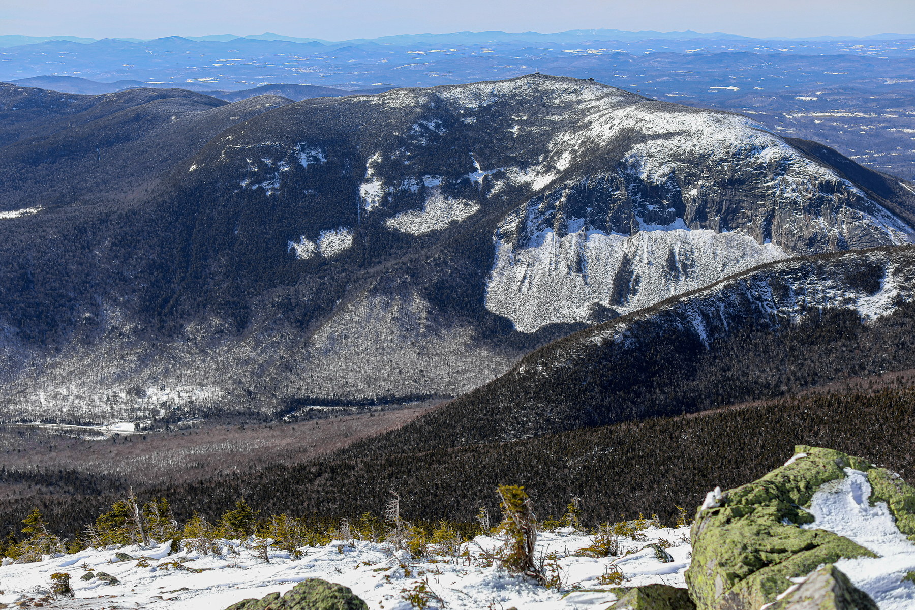
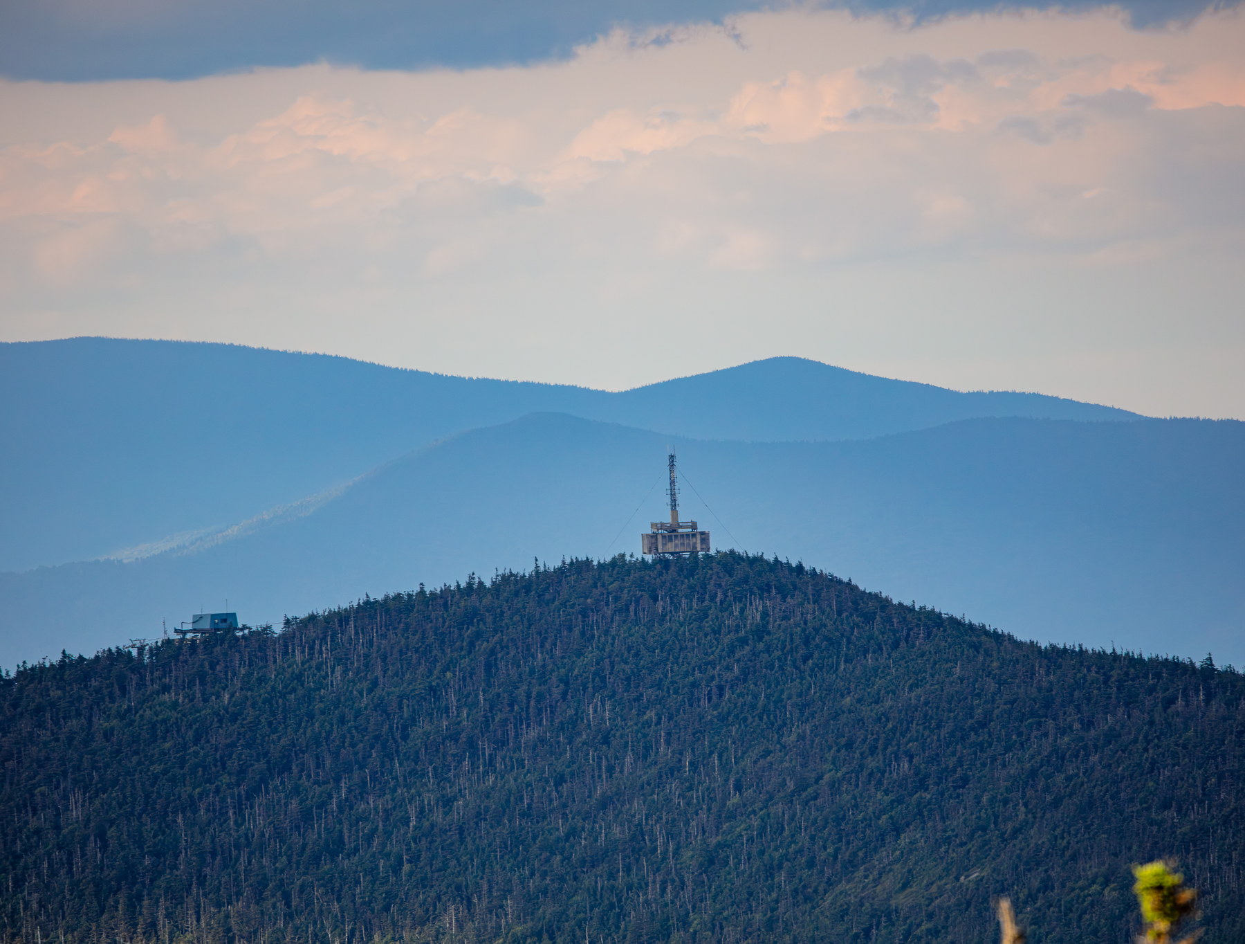
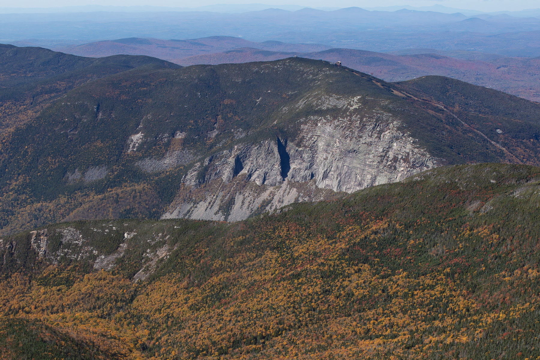
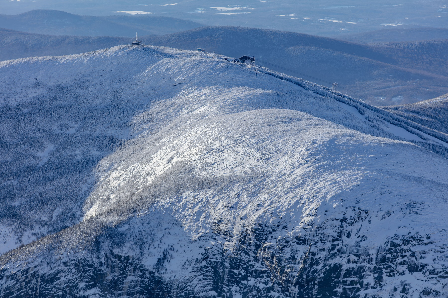
Il s’agit d’une randonnée modérée Chaîne Kinsman. Attendez-vous à steep sections with rocky, eroded trail; Hi-Cannon has ladder rung and narrow ledge; upper mountain crosses ski trails, gravel/grass. Le scrambling comprend a few ledgy areas where hands may be used; one ladder on Hi-Cannon Trail. Le haut de la montagne comprend northern hardwoods at base; transition to spruce-fir by mid-mountain; small alpine meadow feel around ski slopes near sommet, grass and low scrub et 360°, observation tower with panoramic vista; also cliffs overlooking Franconia Notch vues. La météo et l’exposition sont ici des enjeux de planification majeurs : modérée, sommet open but a building and tower provide refuge; trail mostly wooded.
Fenêtre météo
La meilleure fenêtre habituelle pour la randonnée est été et automne, black flies in printemps; hiver ascent common via ski slopes or Kinsman Ridge trail. Carry the 10 essentials and prepare for rough footing and rapid weather changes.
Eau, signal et repli
L’eau est yes - Lonesome Lake on route; otherwise no flowing eau on steep sections. La couverture cellulaire est good, proximity to I-93 and ski area infrastructure often provides signal. Prévoyez un itinéraire de repli avant de partir. Un contexte hydrologique en direct est disponible à proximité via Oliverian Brook et Wild Ammonoosuc River.
Départ et accès
Le départ le plus courant est Lafayette Place Campground départ, avec environ 200 véhicules. Le stationnement principal peut se remplir tôt les jours de forte affluence. Les autres départs liés comprennent Lafayette Place Campground Trailhead, Cannon Mountain Aerial Tramway Base, Kinsman Notch / Beaver Pond Trailhead, et Profile Lake Trailhead.
Contexte des itinéraires liés
Les principaux sentiers liés comprennent Kinsman Ridge Trail, Lonesome Lake Trail, et Hi-Cannon Trail. Les connexions voisines vers d’autres 4 000 pieds comprennent Mont North Kinsman.