
Coosauk Falls
Series of cascades in the Devil’s Kitchen gorge.
Howker route
Junction - About 1,770 ft
Complete catalog
Route highlights are kept distinct from nearby options. Coordinates are rounded NH48 mapped points, and terrain-model elevations are shown as estimates.
26 places
Series of cascades in the Devil’s Kitchen gorge.
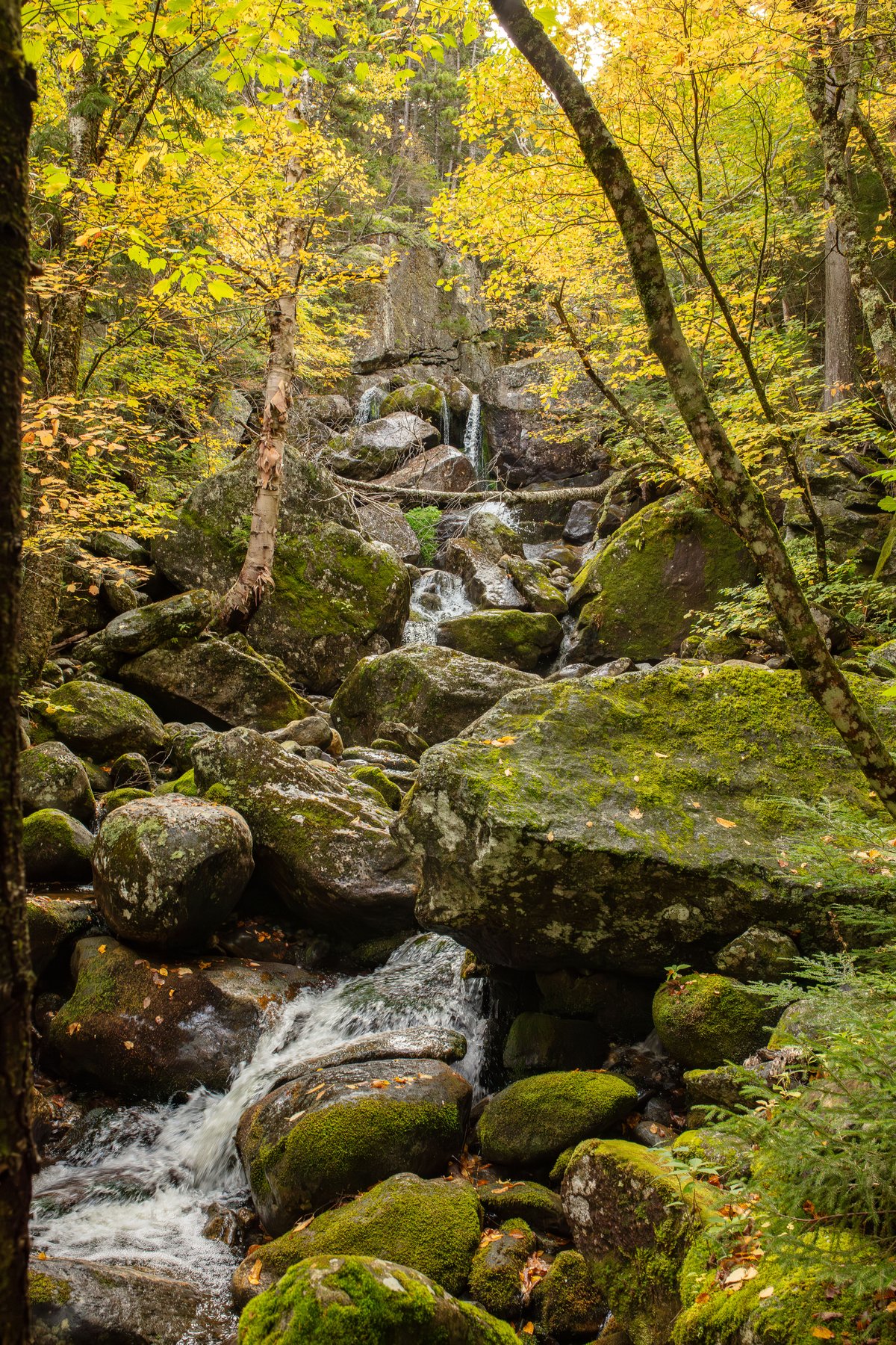
Named cascade on Bumpus Brook.
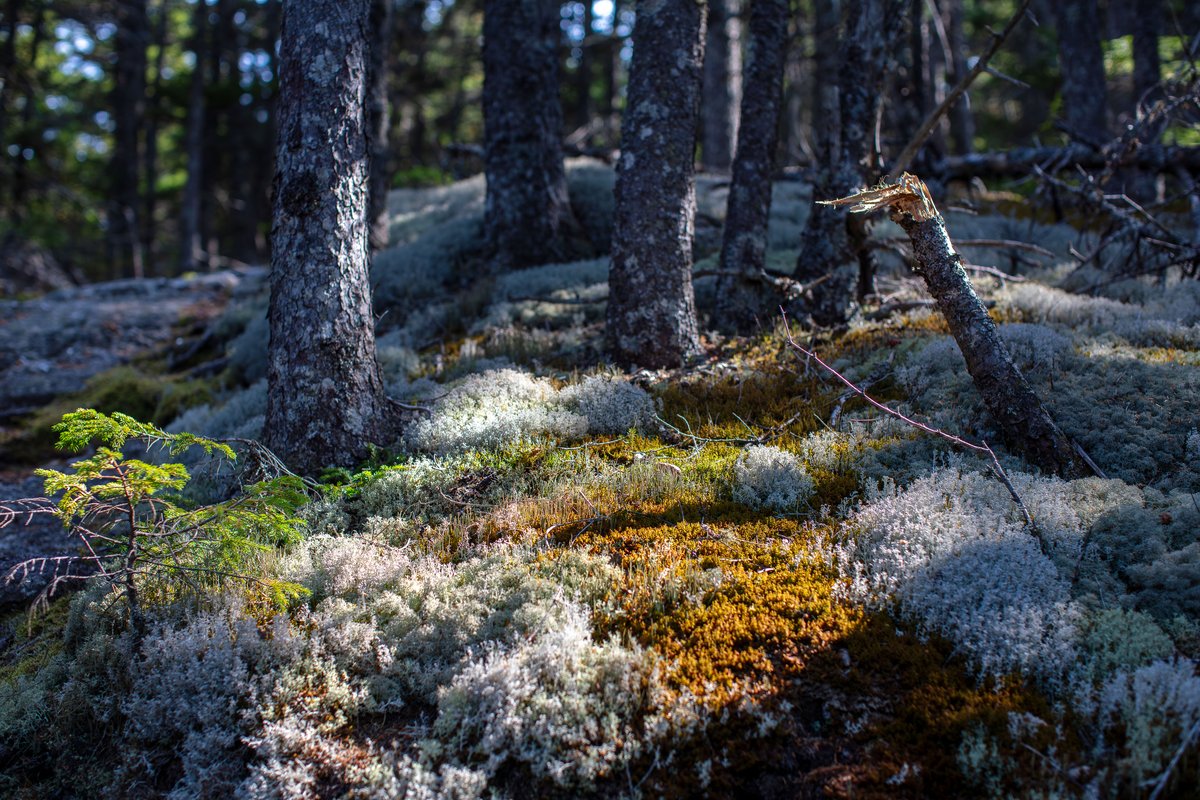
Mapped point on the lower ridge; the historical view claim awaits a direct source.
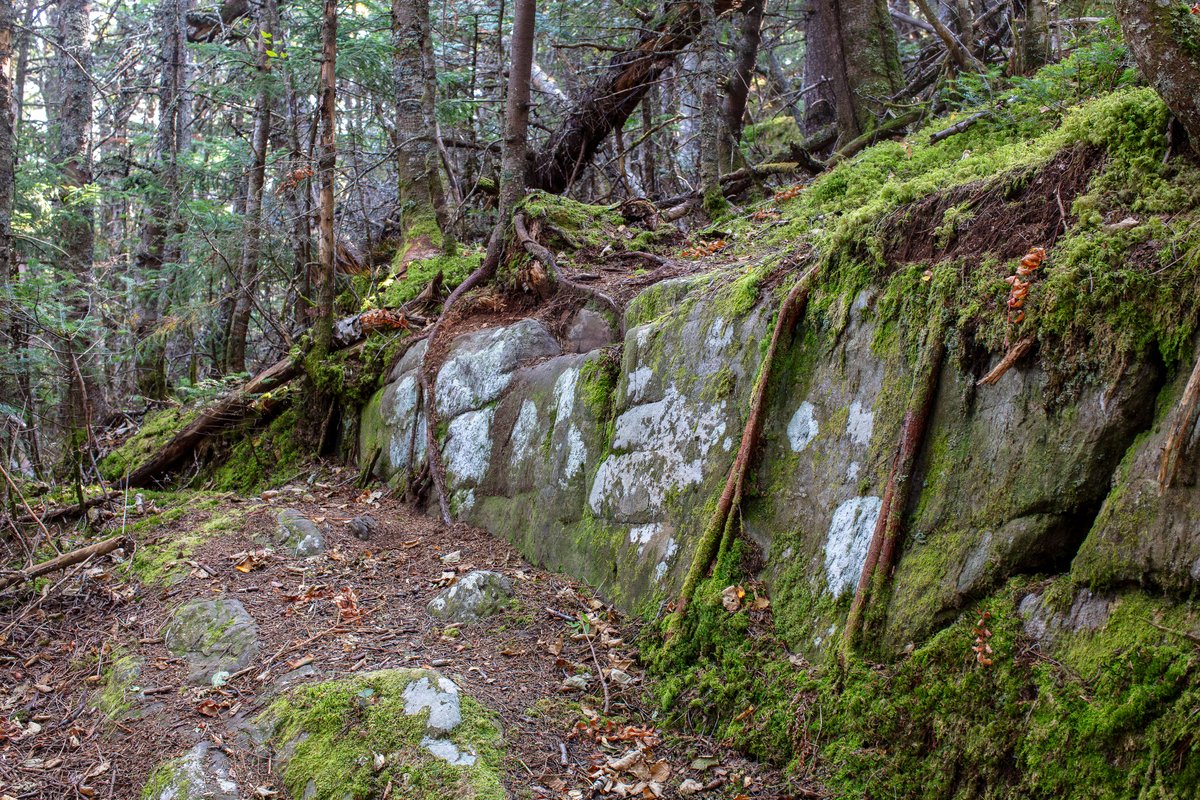
First rocky knob on the ridge.
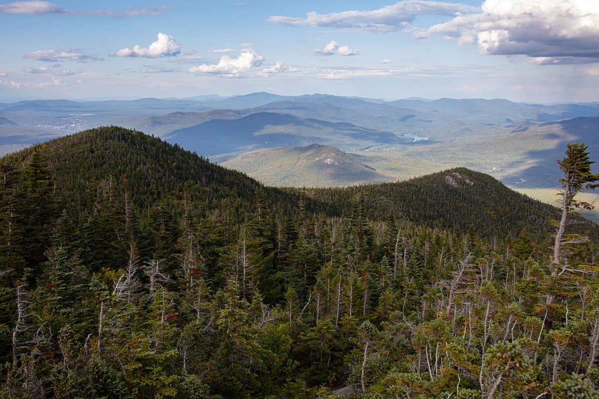
Breaks above the trees with wider views.
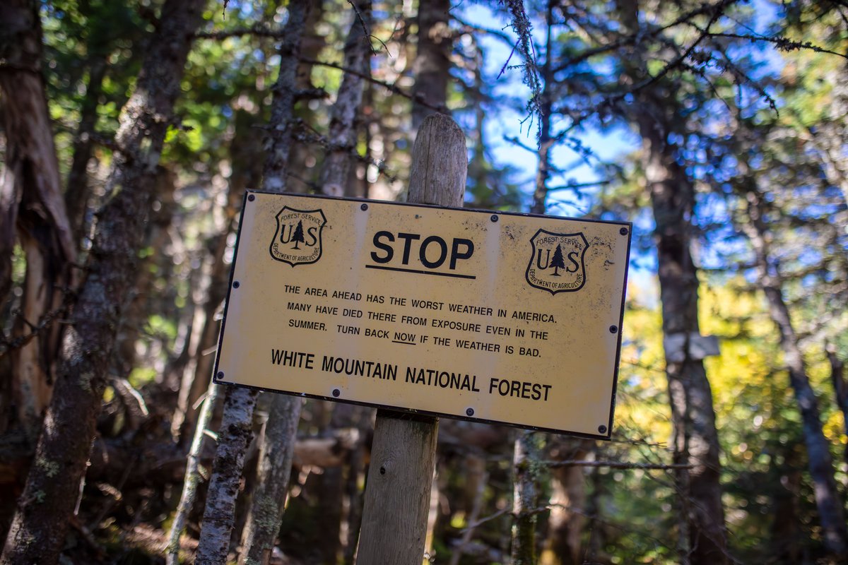
Transition toward alpine terrain near Pine Link.
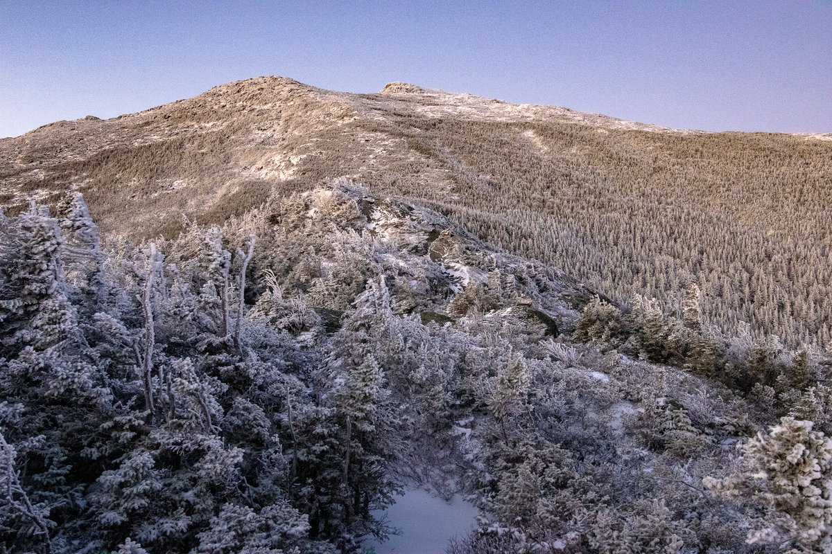
Rocky knob with broad views east and north.
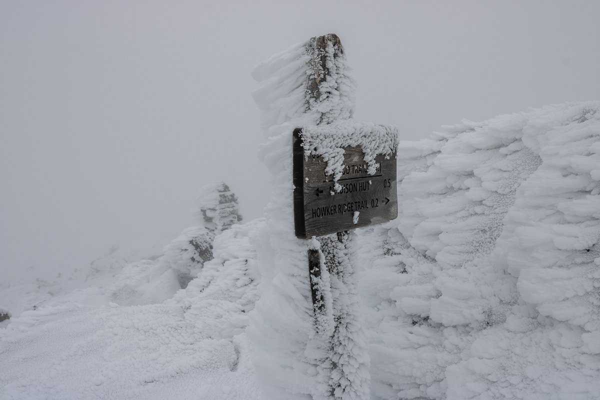
Rocky summit with 360-degree views.
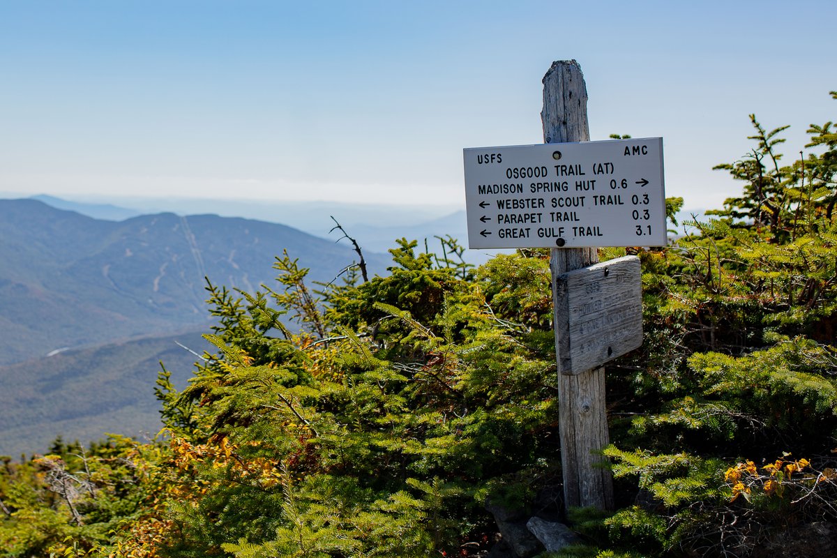
Appalachian Trail ridge connection near the summit cone.
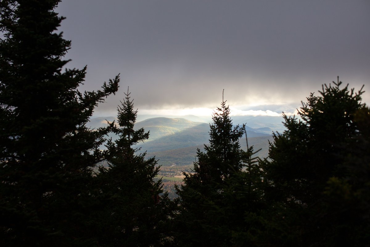
Opposite ridge visible from the Howks.
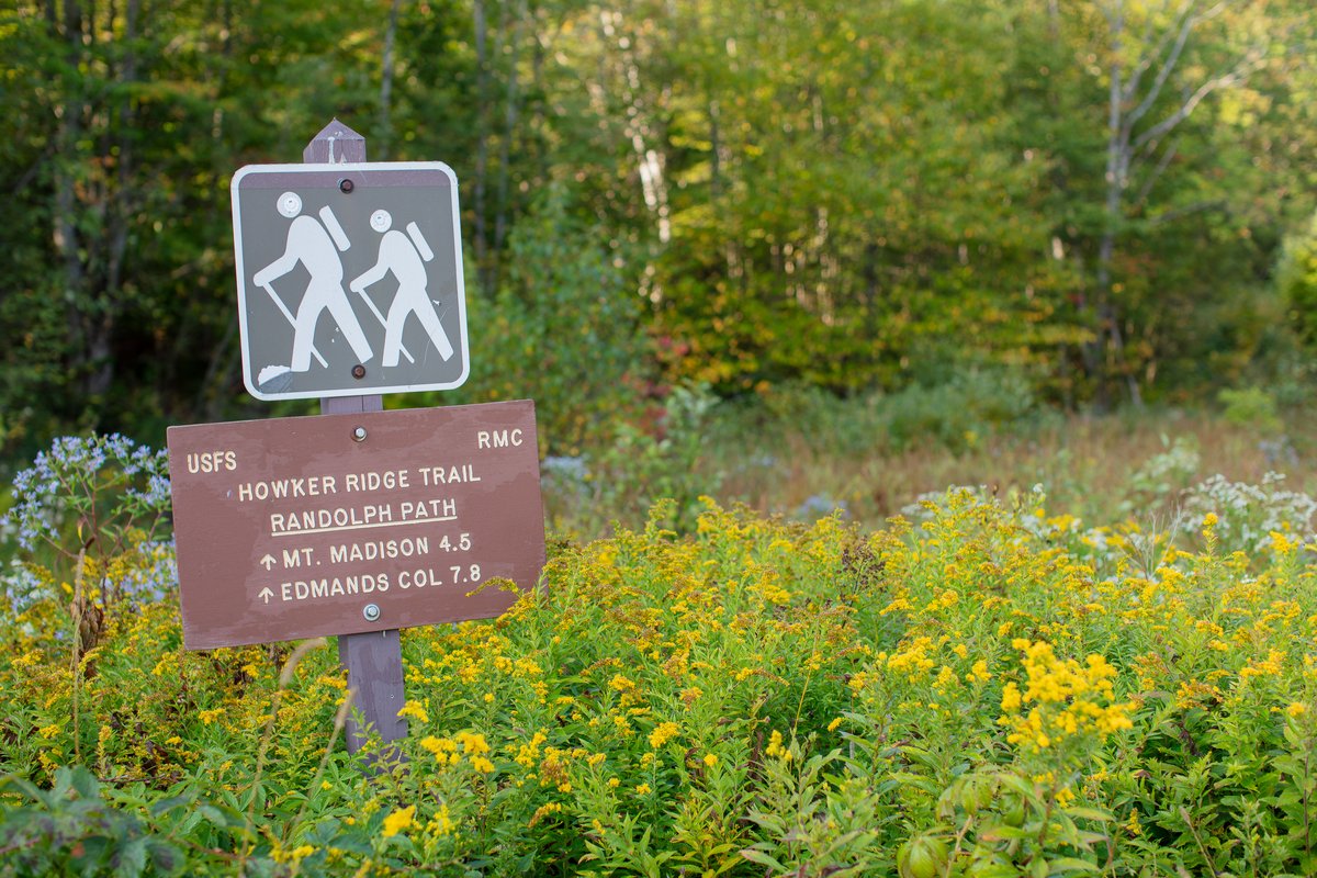
Trailhead junction near the lower ridge.
Connector from Appalachia parking area.
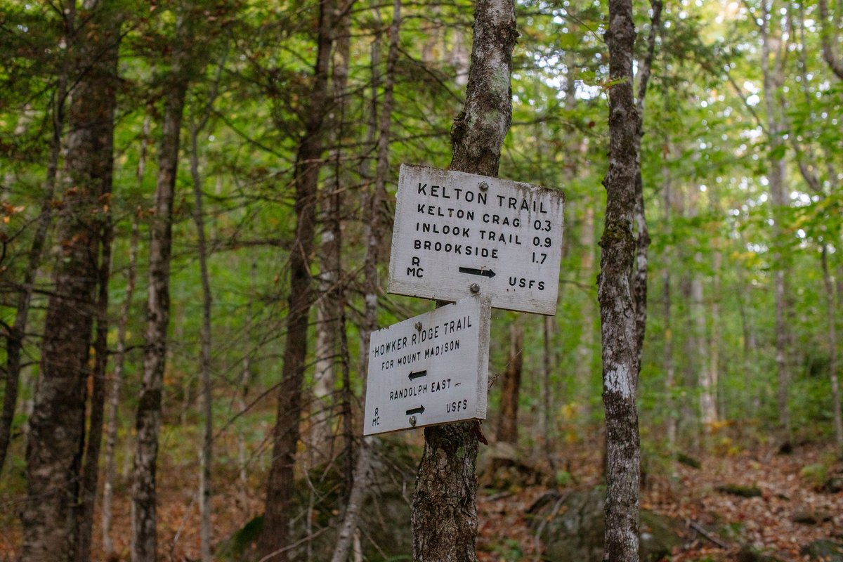
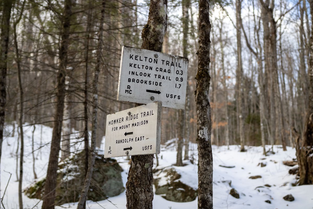
Split to Brookside and Inlook trails.
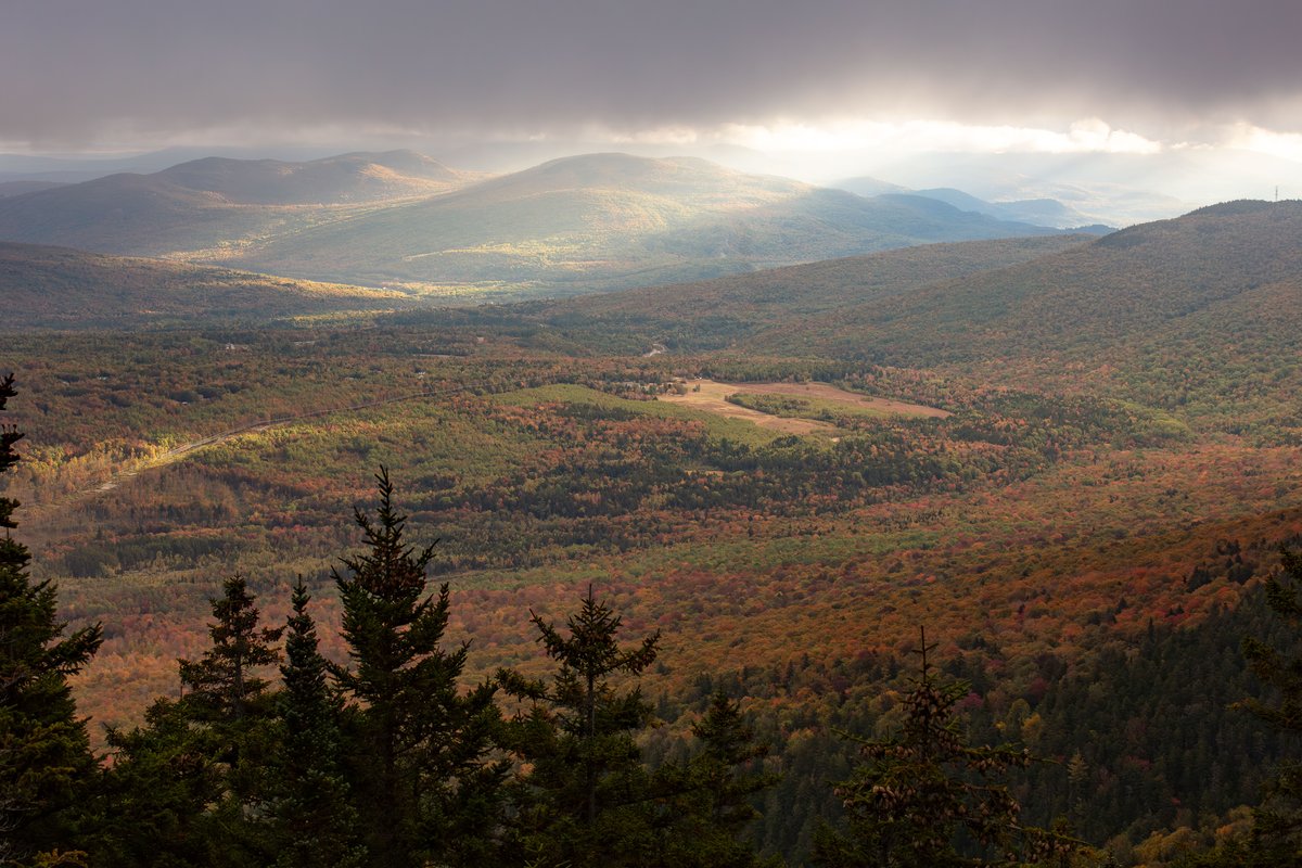
Short spur to a minor rocky overlook.
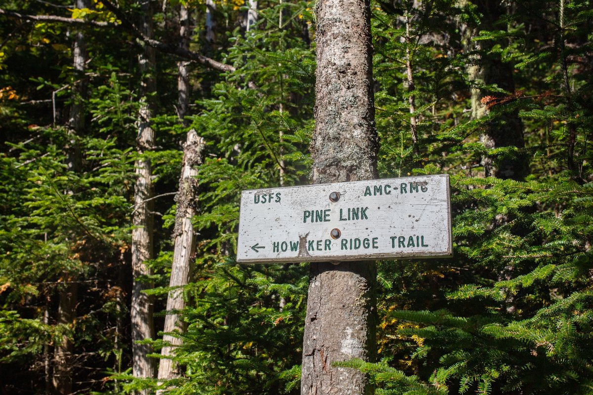
Shared section with access to a spring water source.
Waterfall along Snyder Brook near trail beginning.
Small stepped cascade on Snyder Brook; approximate location.
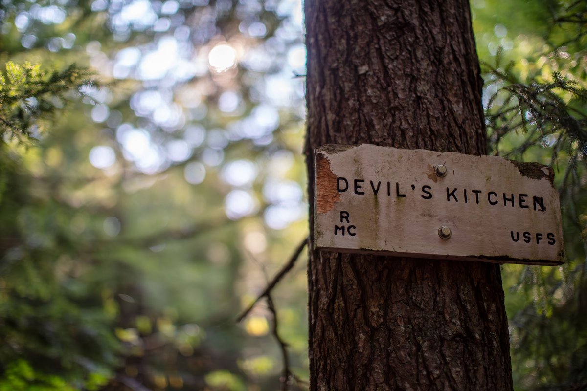
Narrow gorge along Bumpus Brook, not precisely mapped.
Large open ledge with expansive views of King Ravine and Northern Presidentials.
RMC hut on King Ravine rim, near Spur Trail.
RMC cabin in sheltered woods near tree line.
Lean-to shelter maintained by RMC, near Randolph Path.
Popular camping area along Valley Way Trail.
Large AMC hut between Mt Madison and Mt Adams.
Small alpine tarn between Mt Madison and Mt Adams.
5,799 ft summit, accessible from Star Lake.
Field photos
Trail data
What to expect
Split to Brookside and Inlook trails.
Map context
Place not found
The full catalog is still available, including every point from both Howker Ridge datasets.
Browse all places